Southern High Country Ramble
Words & Photos by Pete Sergeev
Route on ridewithGPS
18 minutes
It’s the 5.00am alarm that spelled the end of my attempt to get a good night’s sleep. I suspect that most of you reading this know this experience well. You have a proper meal and maybe a beer, shower and pop off to bed nice and early promising yourself you’ll sleep well on the eve of your departure, you never do. If this isn’t you, you are the envy of the entire adventure fraternity (also, tell us your secret!)
This story starts with the announcement of the 2021 Hunt 1000, an event I was destined to be unable to do due to the nature of my work schedule. But alas, summer was coming and the high country was calling.
I was able to find five days to make a crossing of the southern end of the Victorian high country, to visit places I had been looking at on maps for longer than I dare admit.
I was comfortable this was a challenge I could meet, I had drawn a route, I had considered the logistics of transport and re-supply, or so I thought.
High Country Ramble, Plan B
Four days out, the weather forecast was excellent. It was all but locked in. I was doing my final checks on transport and resupply. There was supposed to be a train to Stratford, but there were bus replacements on the metro leg, a hard no for bikes. No worries, I can do the route in reverse. First resupply at woods point, closed due to the pandemic. Second resupply, closed for the holidays. Reversing the route put me in Dargo on Xmas day, I wasn’t going to be able to buy anything but I figured I’d book a room and give myself something to aim for.
I felt deflated as I considered the new challenge of tackling over 300 kilometres of mostly backcountry without being able to stop and resupply. I had never attempted anything more than an overnighter being self sufficient.
Nevertheless I was resolved to get out there and make this happen. So I did what I do best, made a plan. I was already planning on carrying a stove and camping out for two nights, what’s a couple of kilos of extra food on my already staggeringly heavy setup?

Big River State Park – Beginning
Rolling along the Lilydale-Warburton rail trail always settles my nerves. It’s a cool and breezy day, there is the lightest passing shower, a genuinely pleasant way to get started.
It’s all quiet in Warburton, just a few people cruising the trails. I’m helping a couple with three young kids on bikes tighten up a couple of stem bolts, they are asking me about my pending trip. I calmly explain it’s around 300km east across the hills. “So where will you stay?”
“Oh, I’m camping until Dargo. I’ll give myself a shower for Xmas”. Mum’s eyes widen in a mix of horror and disbelief. “Would you like a muesli bar?”.
“No thanks, I couldn’t possibly carry anything more”. She pauses and looks around “where are your mates?, I hope we haven’t held you up.” I don’t dare tell her I’m travelling alone – “It’s fine, there’s no rush.”
This is far from the first time I’ve had the feeling that people think I’m out of my mind. If you had told me three years ago this is what I would be up to, I would be asking what drastic and life altering series of events lead to this. Also, how do you know the future?
I’m on the tarmac, I’m climbing Reefton Spur, I’m sweating, I’m away.
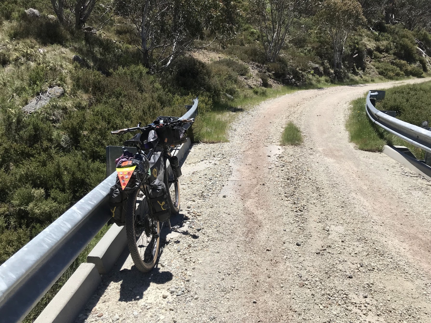
It’s the Big River state Park sign that signifies the start of parts unknown, my adventure has begun. This road rolls up and down, it’s wide and it’s a bit corrugated. There’s no traffic for the first 20km, great, it’s dry and the dust isn’t my favourite (you picked the wrong sport, bud).
A fella in a new ute rolls up behind me, I wave him by but he pulls up beside me with a simple request. He points to a rise about 30m away from the road and suggests I get up there pretty quick as there’s a truck coming through. I’m not in the business of ignoring the advice of well meaning people. As I’m considering why I’m pushing my bike so far from the road it becomes clear; this truck is 20m long and doing around 80km/h. The dust plume bellowing out around it is as impressive as it is scary. I dread to think what would have happened in another part of the world where pilot cars aren’t a thing.
There’s clear reason to be sceptical about the practices of the companies that plunder our natural resources and the State bodies that oversee them. However, the fact that much of the backcountry would be relatively inaccessible without the roads that are built to support them, is inescapable.
Woods Point Rd is a dividing line between Yarra Ranges National Park on the south and the out for lease Big River State Park. As you pass logging coupes, you’ll be under no illusion about what that land used to look like. Also, how do wildlife cross this 50m wide clearing where the road runs?
Goulburn River
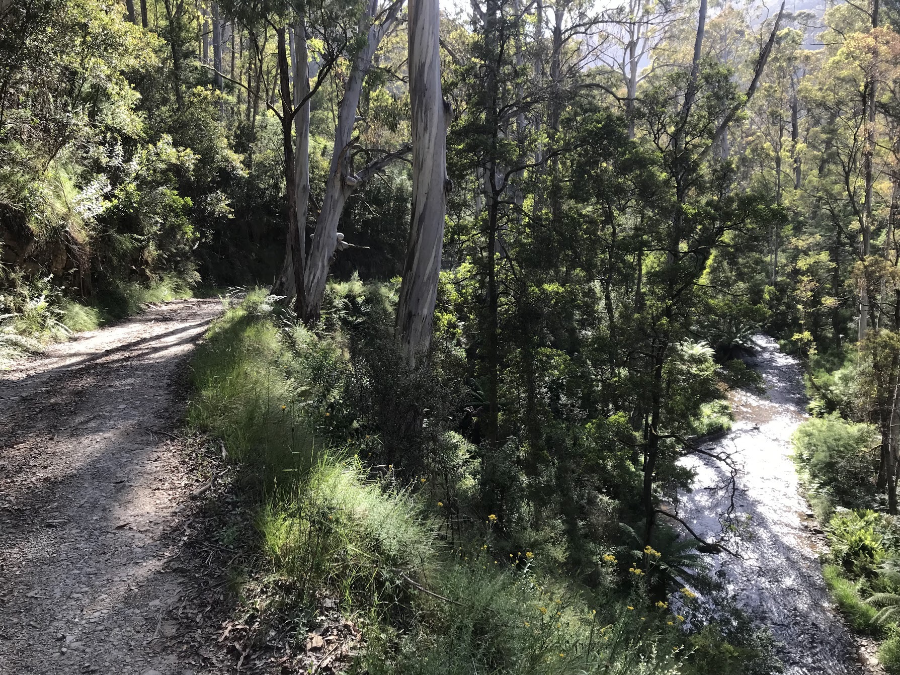
I pass the “locality” of St Clair, the road has narrowed. You’ll get to descend for a moment, keep an eye out for springs that flow onto the roadside. I was fairly low on water and was glad to be able to get the good stuff from near the top of a hill. I filter everything as a general precaution, I carry and use chlorine tabs as well if I have any doubts.
Soon after I pass Matlock, time to descend to Woods point. It’s a quick one, almost too quick. I roll through Woods Point, there’s nothing for me here so it’s a right turn towards Comet Flat.
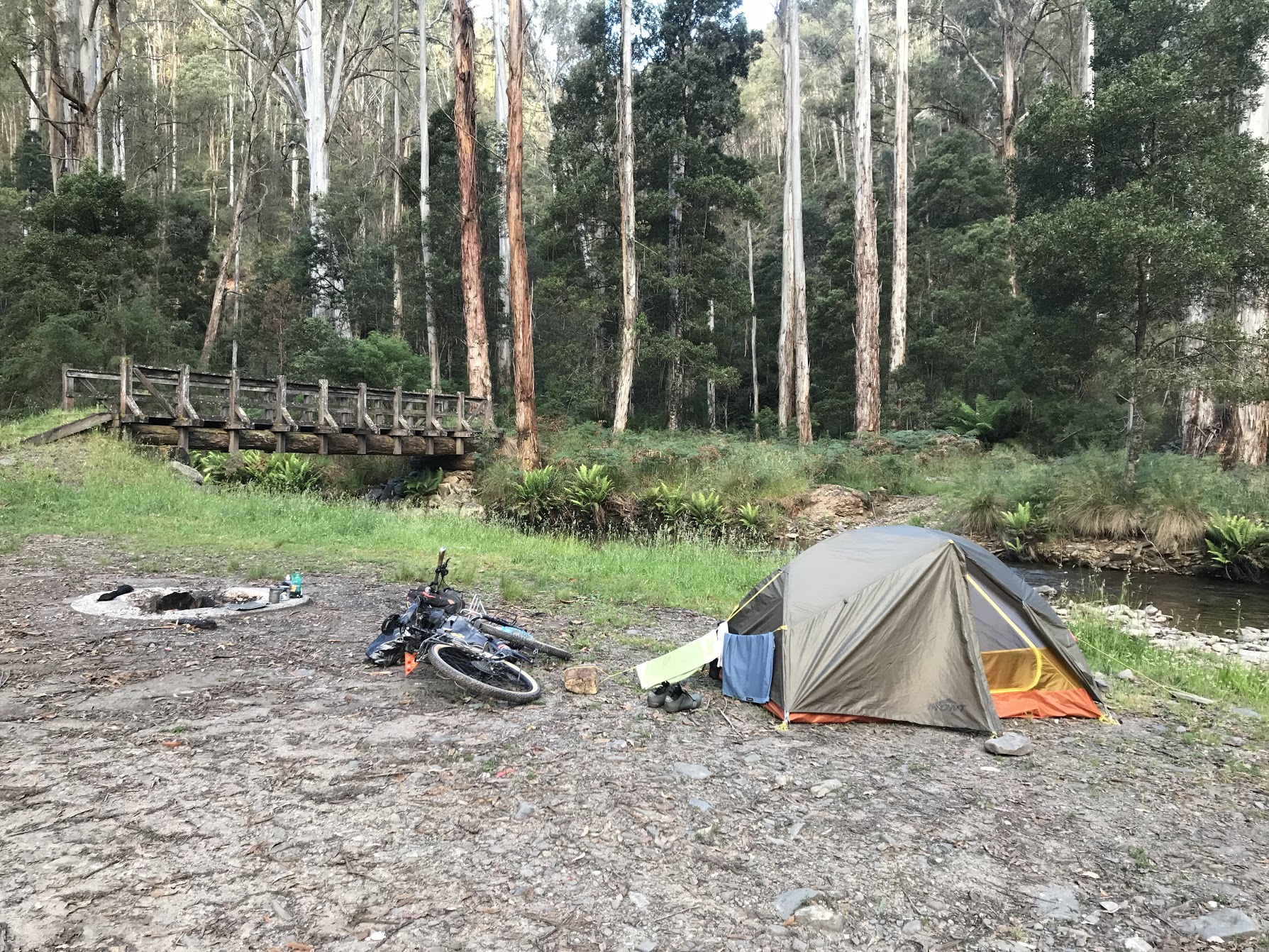
If you cross the Goulburn River, perhaps you’ll be more prudent than me and remove your shoes and walk it. I often say that there’s two ways to learn something, the easy way and the hard way. Suffice to say I’ll go on learning my lesson the hard way throughout this trip. There’s a handful of lovely campsites along this stretch of the river, the farthest east has a drop loo but is the least lovely.
“I should have had another coffee,” is the first thing that came to my when I realised how steep the climb up from the Goulburn River is. The two river crossings should have already helped me set the pace, slow as heck. It’s a steep river valley and since it was still cool it’s quite a nice walk, if a bit long for my taste. “What goes down, must come up,” right?
This particular part of the trail is also used by McMillan’s Trail, a walking trail that cuts a tempting path from Woods Point up the Great Alpine Road near Dinner plain. If bikepackers are crazy, I’m not sure we have an English word to convey how insane thru-hiking is, comparatively. You’ll cross paths with this trail a few times.
From here you’ll bag a few peaks, you’ll also share the path the Australian Alps Walking track for a little while up to Mt Singleton. Expect to walk a bit more.
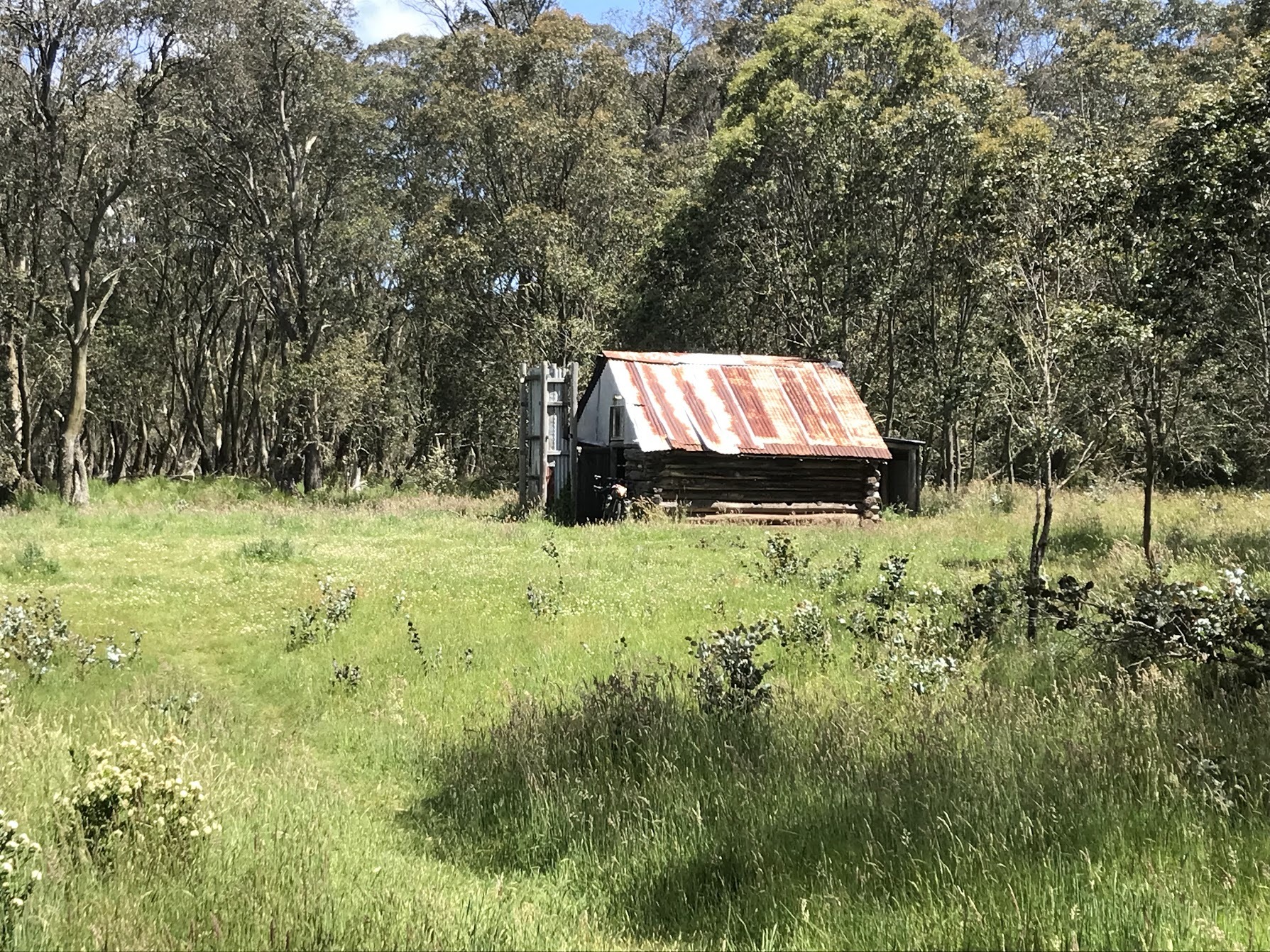
I managed to miss Bob’s Hut, it’s a short detour to your right. I suspect it wasn’t signed. It’s rumoured to have a rain water tank, not that you need it if you filled up at camp.
Mt Selma Rd is well made and rolls its way up to one of the highest points of the trip. The summit is a short detour to the right, it’s mostly rideable, there wasn’t a view. I took this opportunity to have some lunch and make a call home. The phone reception is limited at best in this part of the world, telstra or nothing.
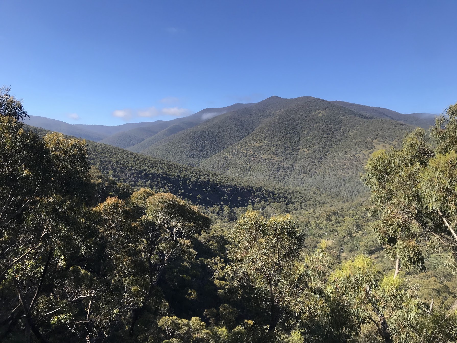
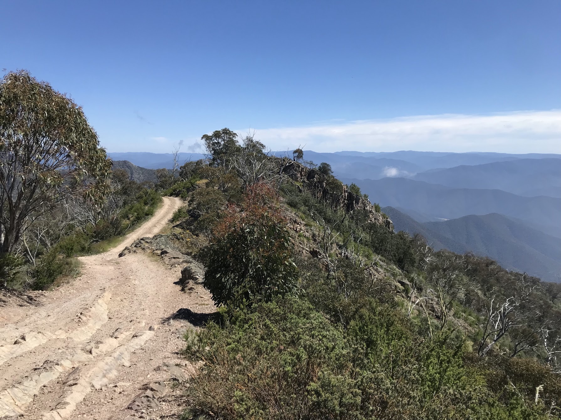
Big Wide Views
Nothing is earned easy up here, a quick descent is met by another climb that will be the last for the day. From here it’s all downhill to Licola. South Rd is wide and well made, there’s some deep gravel so I wasn’t tempted to bomb it. The views and fast riding are a fitting reward for all the work put in to get over the hills. The right hand turn onto Jamieson-Licola Rd signals even better road surfaces and views, this descent is a real highlight and dispelled any doubts I had about having do this route in reverse to my original plan.
A “road closed – detour” sign took the wind out of my sails a little. I shouldn’t have worried, the farm road I was taken to was absolutely beautiful. I passed hundreds of curious and startled cows as I wound my way down Target Creek Rd. This road spits you out, like it’s namesake creek, onto the Wellington River.
I blew straight by Licola, there’s a caravan park and a general store that wasn’t open. I had everything I needed, already. In hindsight I should have paused and stopped to check the weather forecast. If you have any serious doubts at this point there’s the option to head south to Traralgon, though it’s a full day riding at 93km and 1000vm.
From Licola it’s around 10km to the Alpine National park and an abundance of campsites. The river is lovely and warm, but a little silty to the point my filter was struggling. I opted to chlorinate instead.
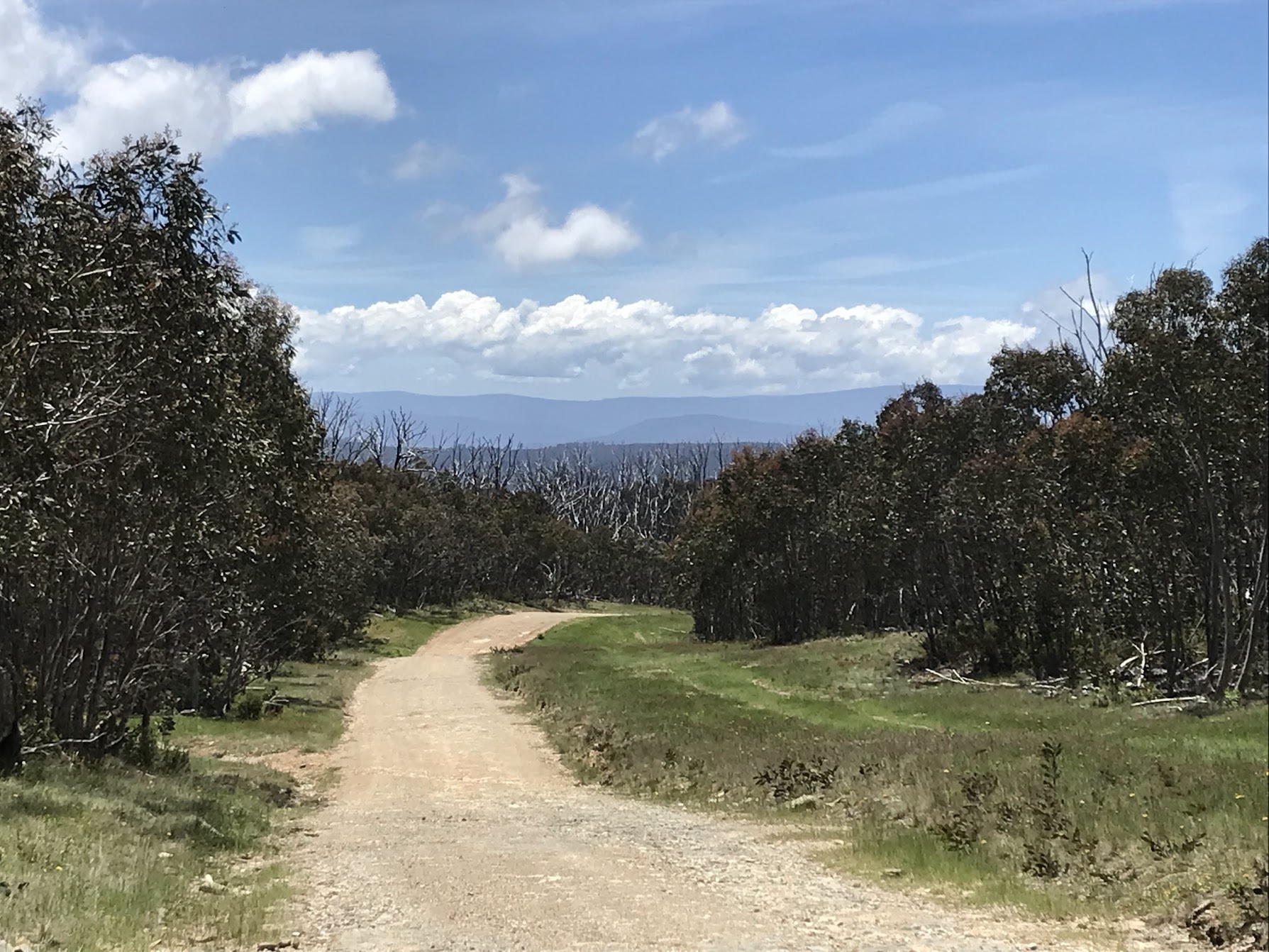
In what was becoming a theme, day three would start with a long climb. Mt Tamboritha Rd promised great views and it delivered. The road was wide and of fairly consistent grade, give yourself some time and be grateful you’re not doing it in the afternoon heat as it’s over 900vm at around 6%.
“BLIZZARDS SNOW AND FREEZING CONDITIONS CAN HAPPEN AT ANYTIME OF YEAR” signified my making it to the high country plains. I parked up at a stockyard at Tamboritha Saddle and considered how hard it must have been to live and work up here. The high country is a novelty to most of us but it’s not an easy place to get by. Having passed by a few historical markers and information boards I was disappointed that the history of our First Nations people was obscured.
Kelly Lane
Do not miss the opportunity to jaunt up Kelly Lane, I had it as an option and am mortified by the idea I might have missed this area. You’ll be rewarded with fresh mountain water, there’s a great swimming spot and a drop loo soon after the turn onto “to Kelly Lane”.
I was living the dream, I was rolling along this delightful doubletrack, views to the right of highland plain. A small creek crossing had me de-shodding and giving my feet a bath in the 20cm deep water. Feeling confident and spurred on by the promise of more great scenery I plowed straight into the next creek crossing, axle deep, wet feet. We’re all students of life.
I’ll only mention it once, the weather was perfect the whole time I was up in the high country, no other way to describe it.
I popped down to McMichael’s Hut, I suspect this one’s popular with our 4WD’ing friends.
Kelly Lane is shared with the McMillan Trail, I’m reminded, as I spot a handful of tents by Kelly’s hut. There’s no one around so I take the opportunity to change my socks and spread some refried beans onto flatbread.
There’s Shaw’s Ck to cross with the help of a bridge, I’m on a kind of high with my good fortune. Not only with the current situation, but all of the privilege that has enabled me to be able to go on such a journey simply for recreation. I’m humbled to think about all of the barriers I never needed to overcome to be able to live the life I do.
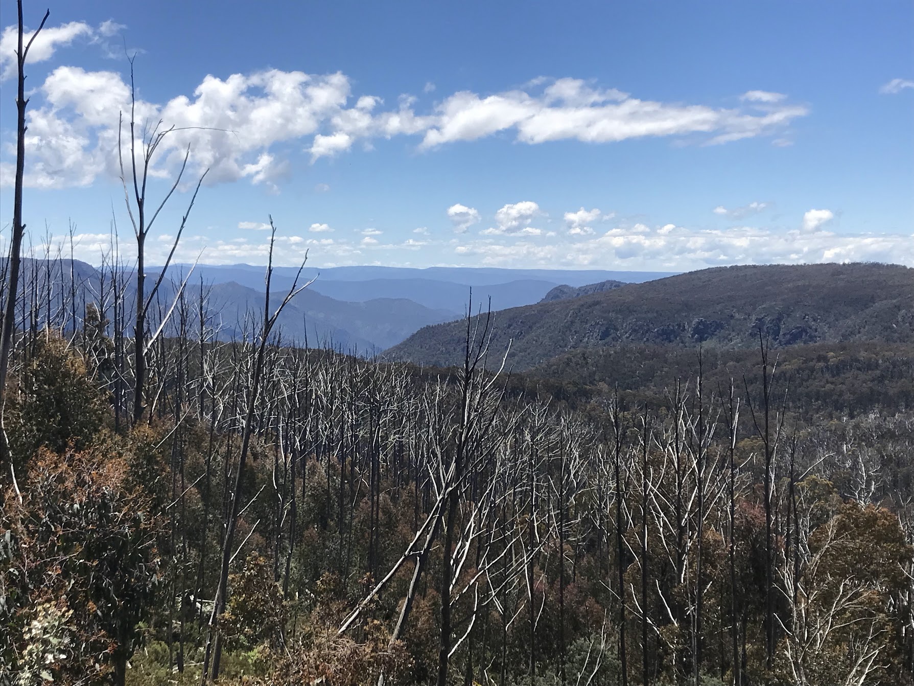
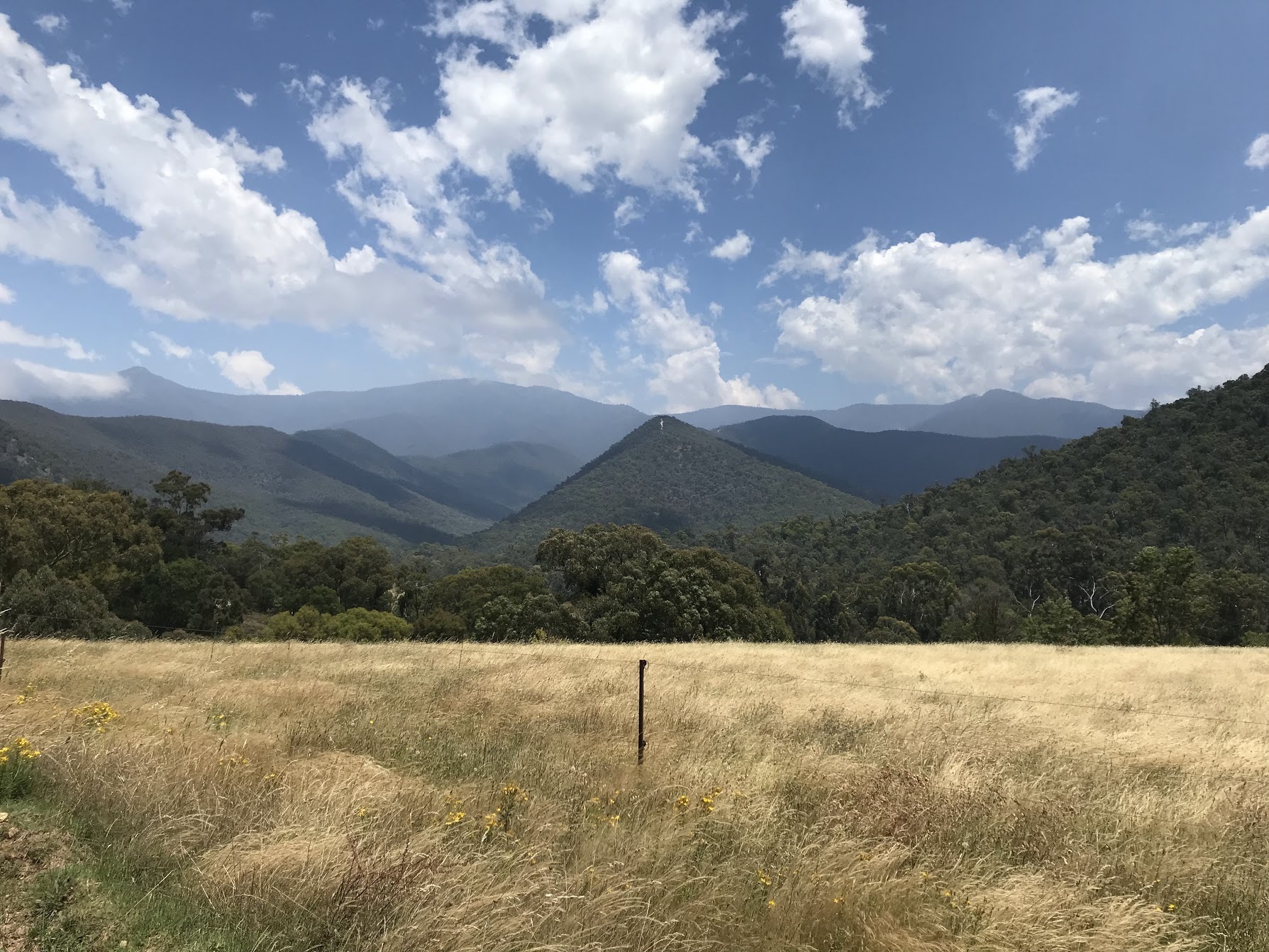
These thoughts continue as I roll down Howitt Rd back towards Moroka Rd at Arbuckle Junction, I’m a little overwhelmed as the bare eucalypts fly by, slightly obscuring an endless vista of blue mountains disappearing behind one another.

The Highest Point & A Surly Hunter
Moroka Rd promises to take me as high as I will go on this trip, around 1500m, the grades are gentle and the views are a little beyond words at this point. Just after McFarlane saddle the descent begins, and within minutes I am in a totally new landscape. Lush ferns lining the ground and tall, straight gums above.
You have the option to stay by Moroka Hut, it’s quite picturesque. Set on a cleared plateau with the river only 50m away it’s pretty dreamy. The approach from the north will have you cross a narrow bridge. I set about pitching my tent then swiftly jumping into the icy cold river. I couldn’t ever describe the perfect camp site, but this comes about as close as I can imagine. It’s only accessible on foot so it’s not torn up and muddy like some of the vehicle accessible ones.
A lone hunter interrupts my afternoon siesta with heavy footfall, I wave and call out a hello and get a glance and a nod, proper surly. I promptly forget about his presence and return to my podcast and daydreaming.
It’s 1.00am, I hear hooves. My mind races to work out what it could be, I promptly recall the hunter and his massive rifle. I figure that deer regularly come across humans camping here, in any case it’s hanging around, looking for discarded food maybe? I’m shitting myself, not sure if I should be making noise to give this guy the hint. He’s super close to the tent now, he makes a loud call I’ve never heard before and I’m paralysed, heart racing, I can’t recall ever being so scared for my safety. I know that deer are not typically aggressive but I’m struggling to find a solution to this so I lay there stiff as a board, hoping he moves on and I can attempt to go back to sleep. He eventually does and I go on to get some more sleep, mercifully.
Morning brings another unpleasant surprise, my improperly closed methylated spirits bottle I left on top of my food bag has leaked over all of my food. Fortunately the only casualty was the ⅓ can of refried beans, I long ago got into the habit of double bagging most food. I consider how bad a mistake like this could be in the context of a self supported journey. Luckily this is my last night camping and I don’t need the stove. There’s just enough fuel for a coffee and my oatmeal.
Here I was glad to not have to get over that awkward bridge back up to the road when I rolled up to a ‘bridge’ that was just a 25cm wide beam with a 1m gap across and down to dry land at the far end. No railings, just the plank. If I had my time again I would have ditched my shoes and waded across.
The Infamous Billy Goat Bluff Track
Before long you’ll be back on Moroka Rd, it’s a couple of short climbs to warm you up for the main event of the day, Billy Goat Bluff Tk. It’s hike-a-bike more or less the moment you turn left. There’s a little water around here if you haven’t got plenty for the long descent. It’s a good 15-20 min hike to get up and over.
The view from the top is pretty special, I took a few moments to appreciate what I was witnessing and to share a picture with my partner and family. It was Xmas, after all.
There was a lot to consider as I stood at the top of that awfully steep track. I knew this was a once in a lifetime adventure, a chance to see a beautiful part of the world on my own terms.
It would be unfair to paint Billy Goat Bluff as a mere formality, it’s a seriously dangerous road. For anyone who hasn’t heard of it, it’s a 7km section of track that will see you loose/gain 1100m of elevation. If I had fallen and sprained an ankle or broken something there’s almost zero chance I’d be getting down unaided. It took all of my focus and patience to edge my way down. Some of the sections are so steep I’d be on all fours if I were coming up it, I don’t fancy coming back to scale it anytime soon. The surface is loose and I nearly lost my footing and control of the bike a few times, each time helpfully refocusing my wandering mind.
A word on GPS trackers, there’s huge peace of mind that comes with having one of these. Not just for yourself but for anyone at home who is interested in your whereabouts and safety. Without sounding dire, there’s many situations where this one item could be the difference between living and not, especially if you are travelling alone.
The relief at rolling out along the Wonnangatta was immense. I was sad to be leaving the high country, I had only been up there 48 hours but it had a profound impact on me. I was just a short jaunt down the river and then over a little hill to get into Dargo and under that shower I was dreaming of.
A hot shower and a couple of calls home for Xmas I was ready for bed. This was the second year in a row that I had been away over this time, I’m very lucky to have the support of my partner.
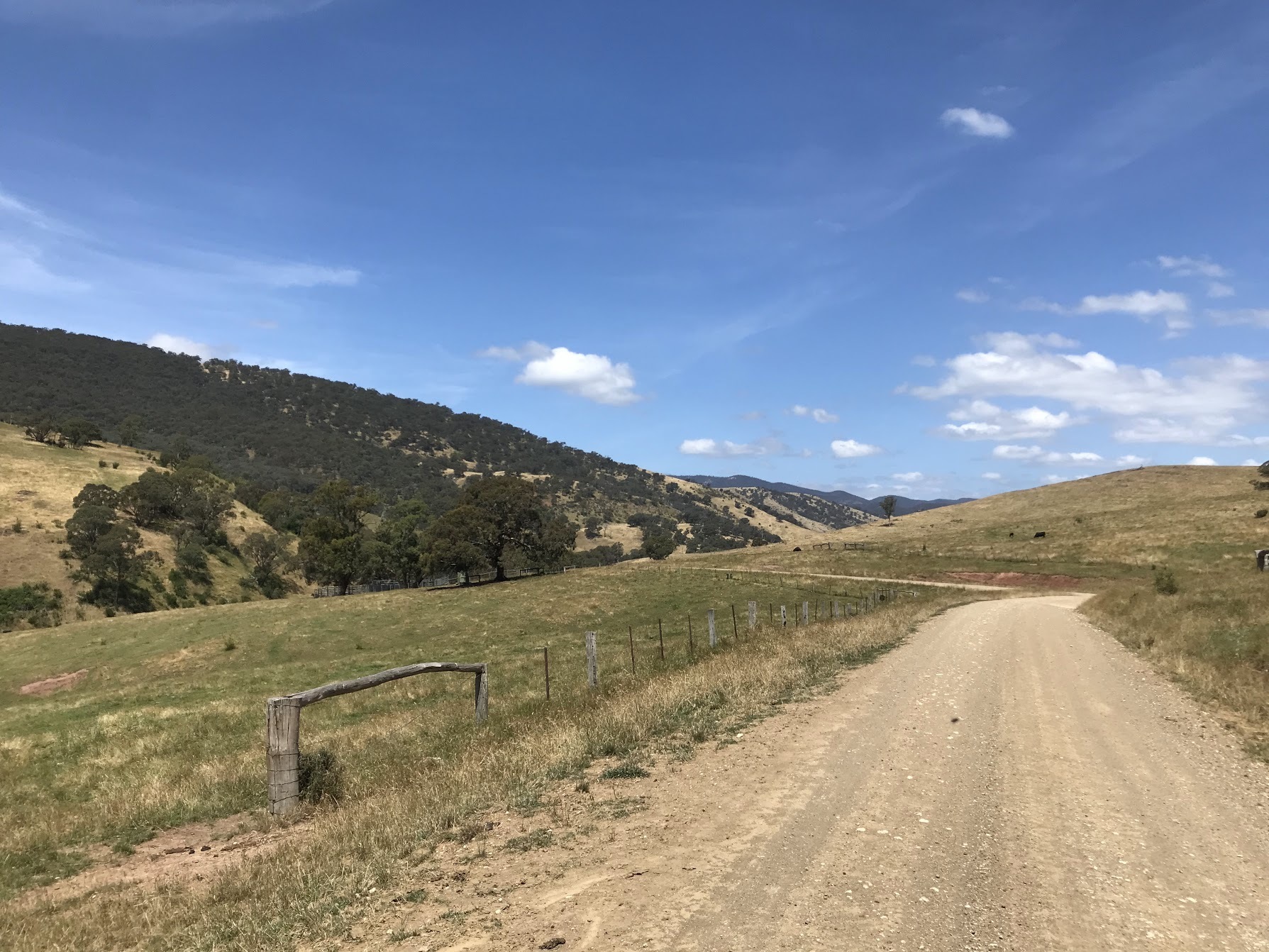
Day five is actually a super lovely ride, 30km of rolling country roads before you turn right onto Freestone Creek Rd. As the name implies the road follows Freestone Ck for around 40km, there’s plenty of camping along the river and the views across the valley make for easy miles.
At the time of writing the road is closed to through traffic, a subsidence into a creek makes it impassable to all but cyclists and walkers, fine by me. Some jerk in a jeep raced by me on the way down, I was miffed to see him racing back up around 10 mins later, didn’t even stop to warn me about the road closure. I made sure to stop traffic on the other side and warn them, plenty of families vying for a prized riverside camp.
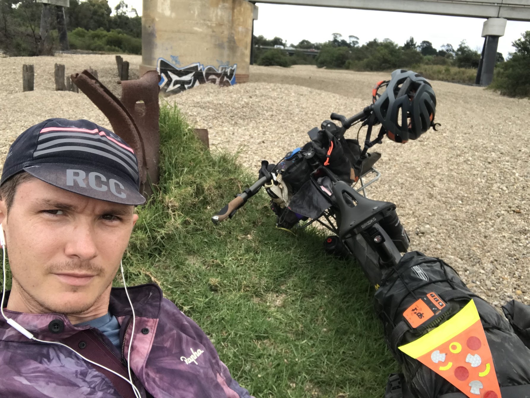
Before long I’m back on the pavement and counting down the km to Stratford. It’s a couple of hours until my train so I park up by the Avon River and enjoy a quiet beer as the bumper-to-bumper holiday traffic heads north over the bridge. I guess I’m getting out in the nick of time.
There’s alot of ingredients that can go into a successful adventure. What was most novel about this one for me was being forced to be self-sufficient. It was incredibly liberating not having to worry about finding places to stop for meals or to top up snacks. This meant that I had no constraints over how long I lingered or how fast I rode, as long as I kept my water topped up I was effectively free to ride indefinitely. I don’t think I’ll insist on always packing this way, but will definitely not let questionable resupply prevent me from tackling a route in the future.
I hope my sharing of this might encourage some others to attempt something new, something scary.
Shout out to Commuter Cycles in Melbourne, the team are more than generous with their time and hard earned knowledge. This would have been a fairly different adventure without their help.
If you have any questions please don’t hesitate to reach out, also if anyone has access to resources about the First Nations People, culture and history of this region please reach out. All welcome to slide into my DM’s @pyotrs