North West Summits Cycle Trail
Words & photos by Timmy Doman
8 minutes
The North West Summits Cycle Trail takes in the varied terrain of the Kamilaroi, Wailwan and Wiradjuri countries, from sub-alpine peaks, fertile plains and ancient woodlands.
Most of the trail consists of good gravel roads with regular access to services, however significant sections are difficult and remote, and should only be attempted by experienced and prepared riders. All riders should be well prepared for any weather conditions and for things not going to plan – it can get extremely hot during the warmer months, snow isn’t uncommon at the higher elevations and water can be hard to come by outside of the towns.
Those that take on the trip will be rewarded with an excellent experience of North Western NSW and some of the most epic trails and scenery in all of Australia.
The route can be found here: https://ridewithgps.com/routes/36935314
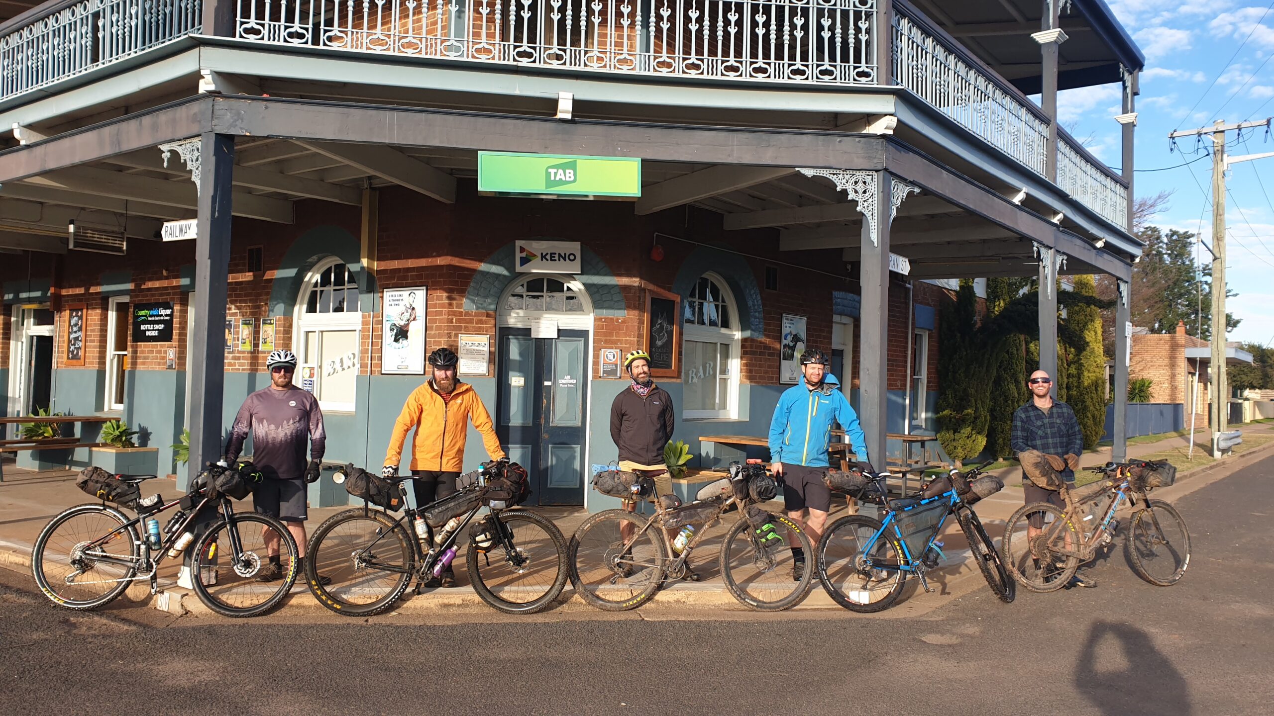
Gunnedah to Barraba
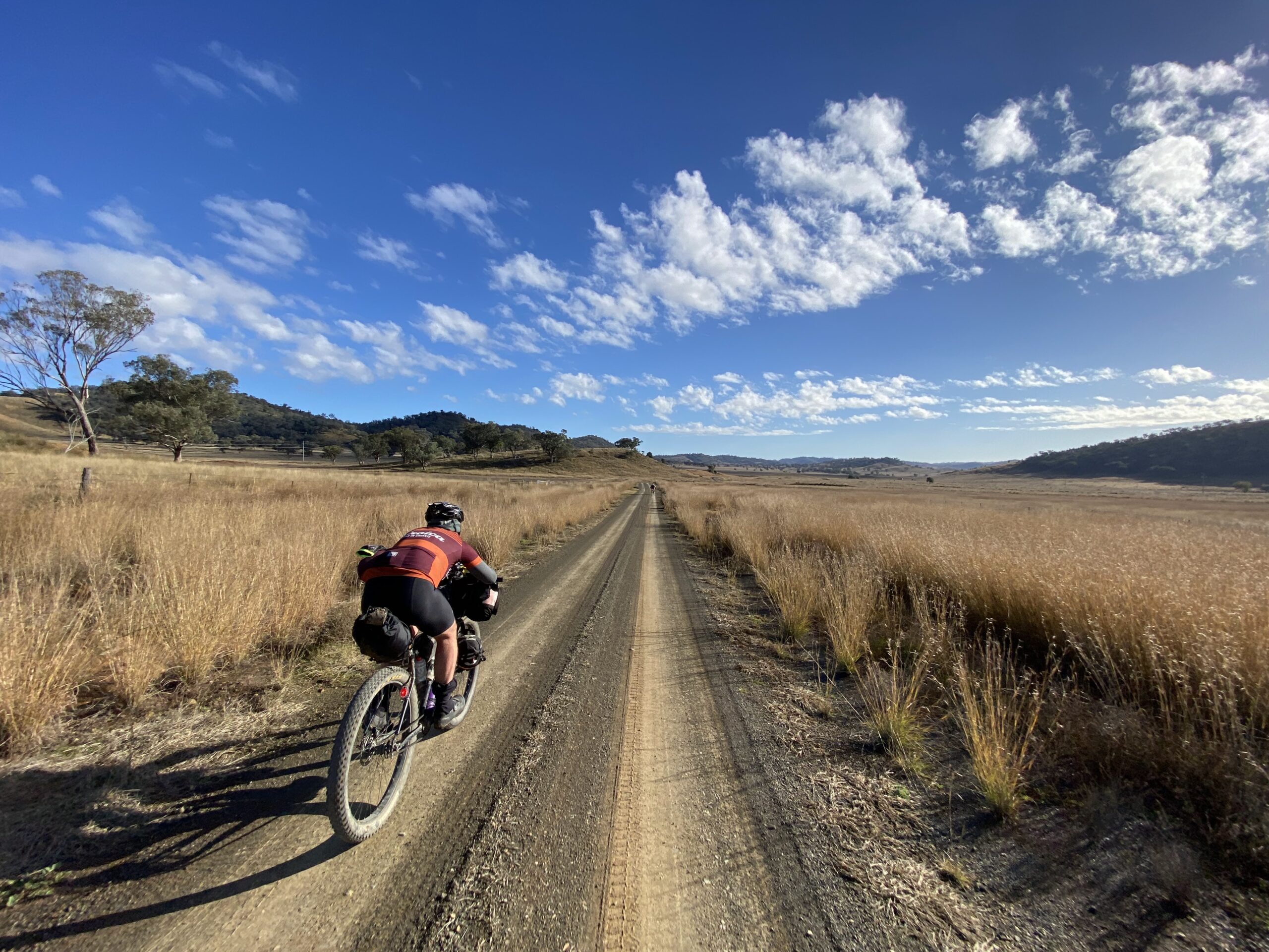
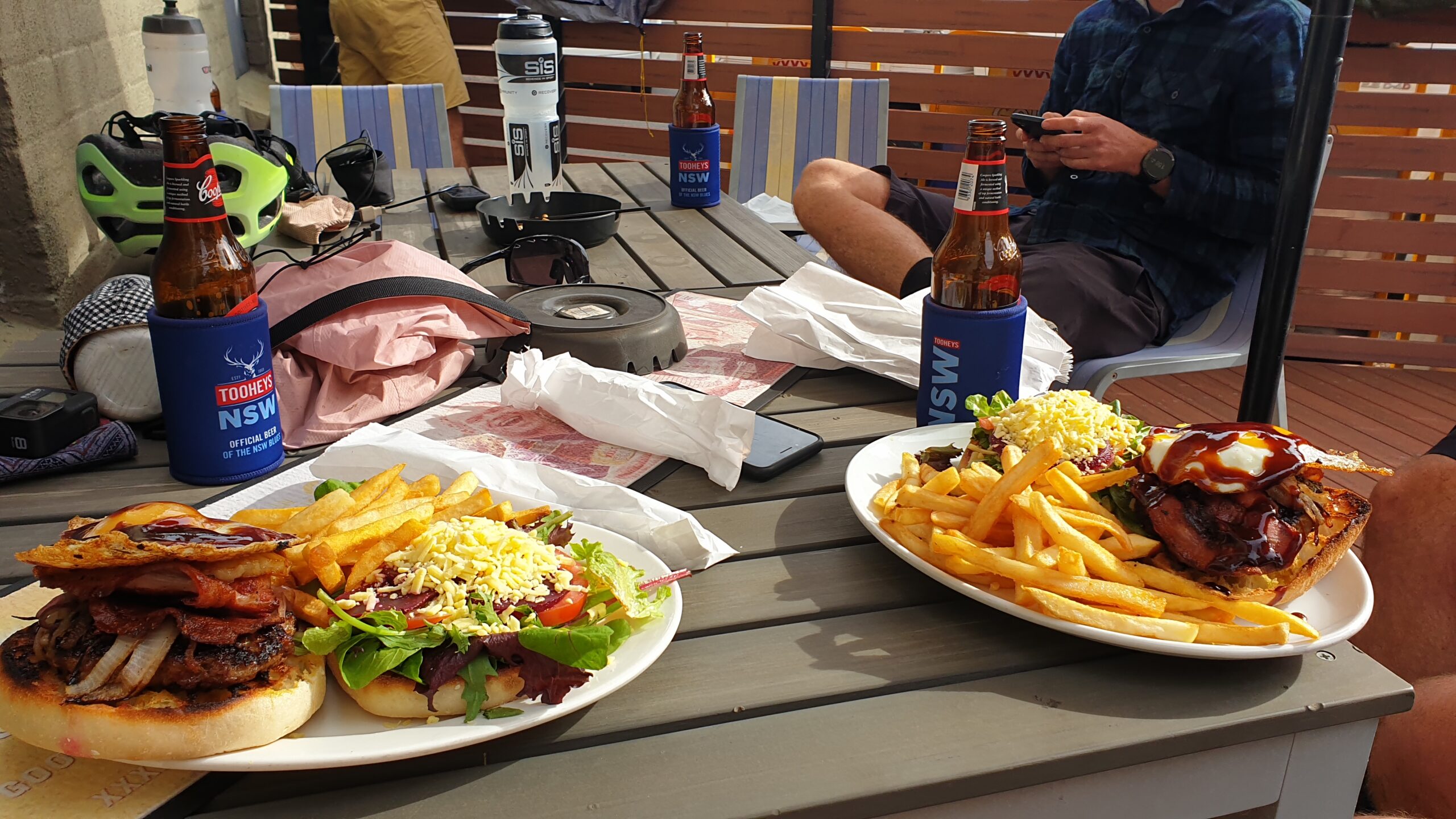
Starting in Gunnedah, the route quickly leads out of town across the Namoi – the rolling hills stretching to the horizon, with glimpses of Lake Keepit a regular occurrence all the way to Manilla. Roads on this section are good quality gravel, with no major climbs – don’t be surprised if you don’t see anyone else on these roads. Manilla is a decent sized town with a supermarket and a couple of pubs, plus an excellent free campsite by the river. We checked out the Imperial Hotel and were treated to a VIP dinner with us and a few locals cooked up by the publican. Considering the pub didn’t officially have a kitchen at the time, it was an awesome opportunity to get a home cooked meal and talk shit over a few Coopers Reds. Note there are no services or water between Gunnedah and Manilla.
Out of Manilla to Barraba, the roads are still of good quality and are infrequently used by vehicular traffic, and pass through farmland and forest skirting along the distant Split Rock Dam. Another great free campsite can be found at Glen Riddle Recreation Reserve on the Manilla River. Barraba is similar in size to Manilla, with a few good pubs and an amazing bakery. Take a few minutes to check out the silo art on the way into town.
Barraba to Narrabri
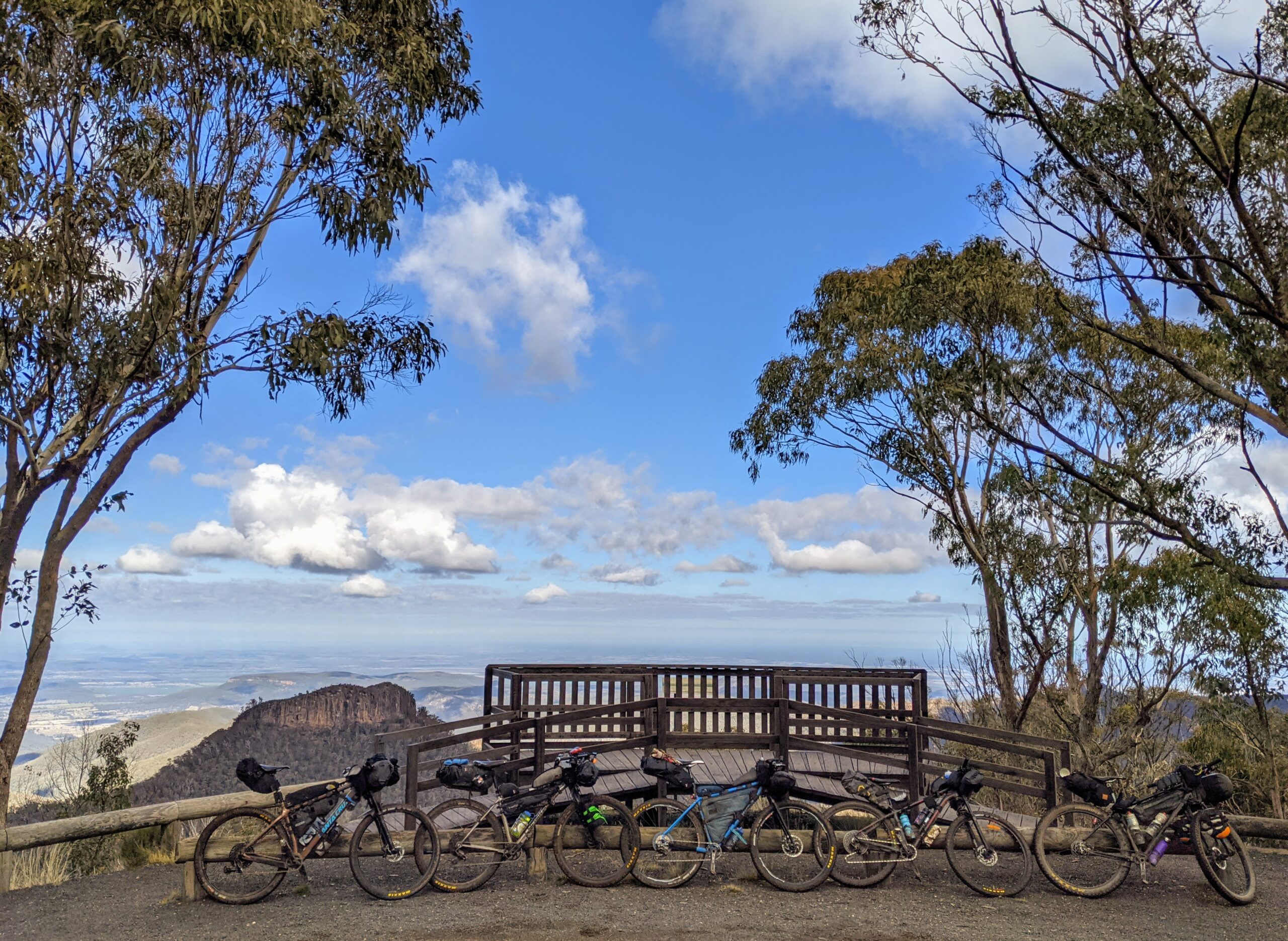
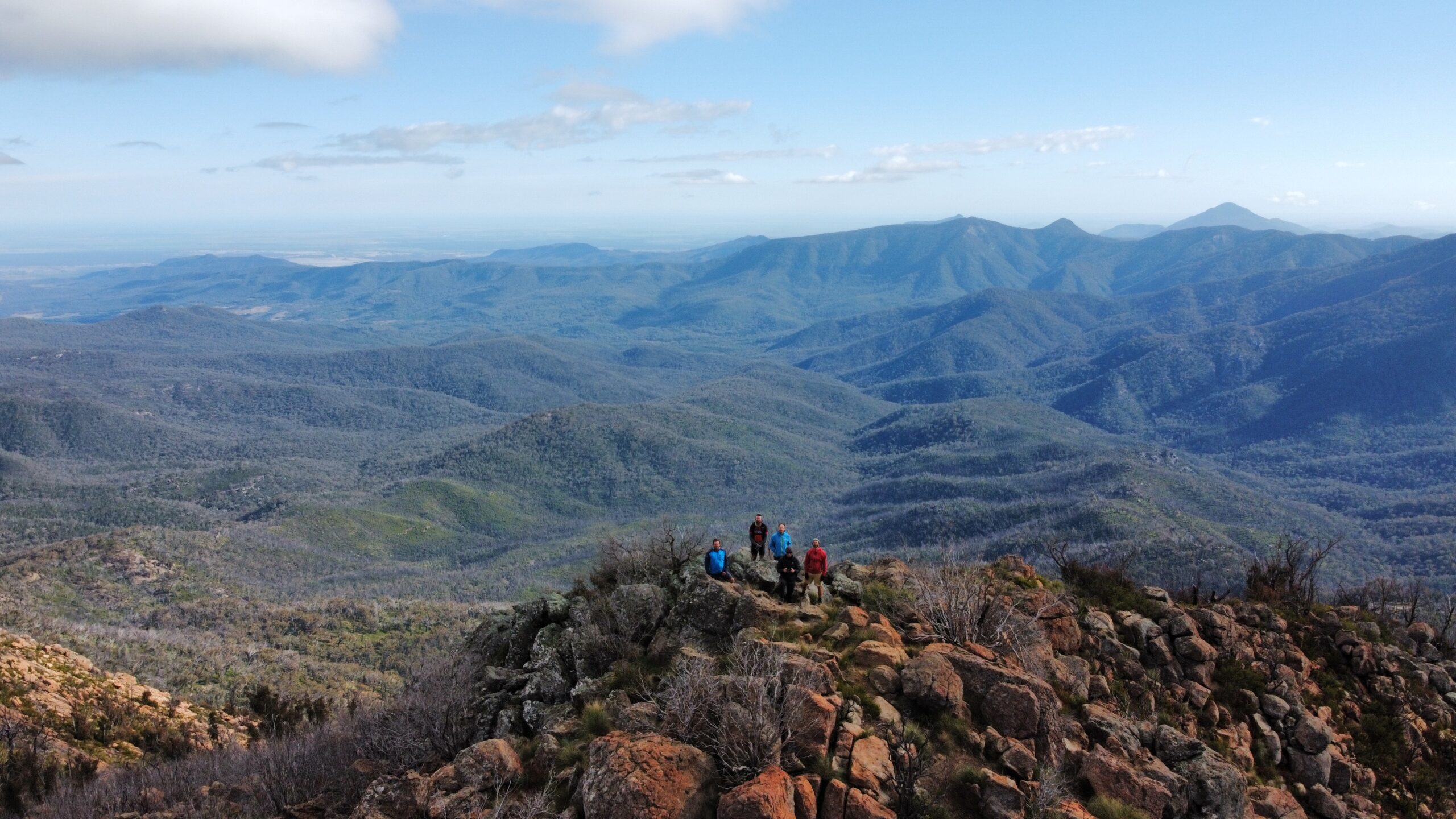
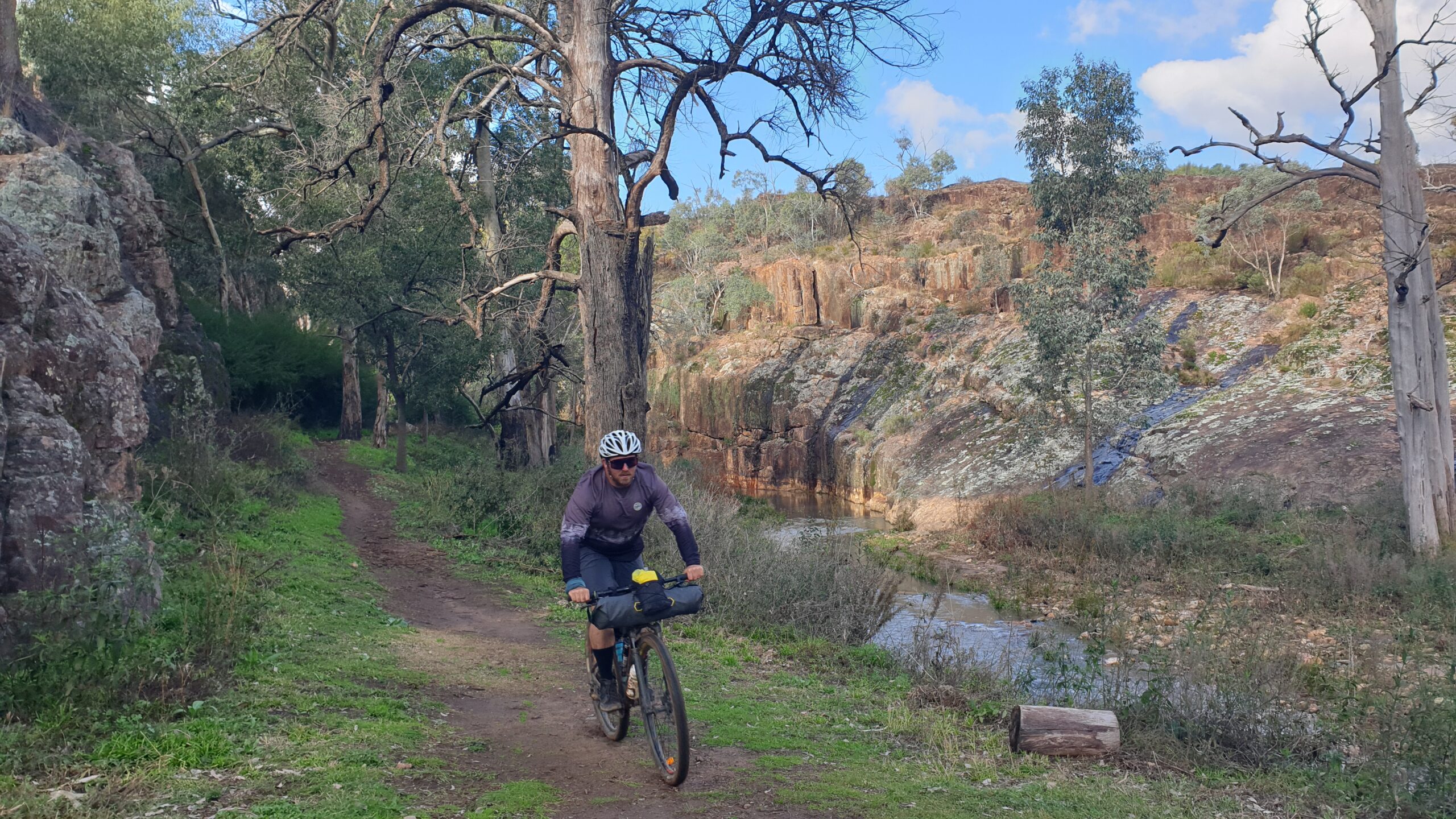
Don’t be fooled by the sealed roads leading out of town, this ride is about to get vertical in a serious way. Barraba is at around 500m elevation, and Mt Kaputar at around 1500m stands in your way. While there are a few steep sections, a majority of the climb is relatively consistent until the start of the Barraba Track at the entrance to Mt Kaputar National Park. This 10km section of trail is one of the highlights of the trip, with views of the Mt Kaputar Summit hidden amongst the forest. I recommend doing this during the day for the amazing forests and views possible, as well as the track getting more technical in places. We copped a flurry of sleet on this climb, and snow isn’t uncommon.
Once at the top, there are a number of campsites (and cabins!), with a short walk to the summit proper that will reward you with 360 degree views of north-west NSW. Now is where the fun begins – 30km of (mostly) downhill, as you descend back to 200m elevation. There are a bunch of vantage points along the way which are worthwhile to check out some of the spectacular rock formations dotted across the park.
Narrabri has all the services you could need (except a bike shop), and is a great place to restock for the next leg.
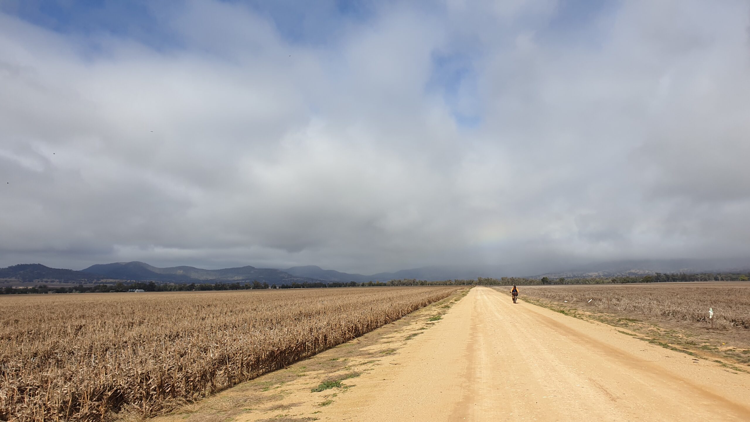
Narrabri to Baradine
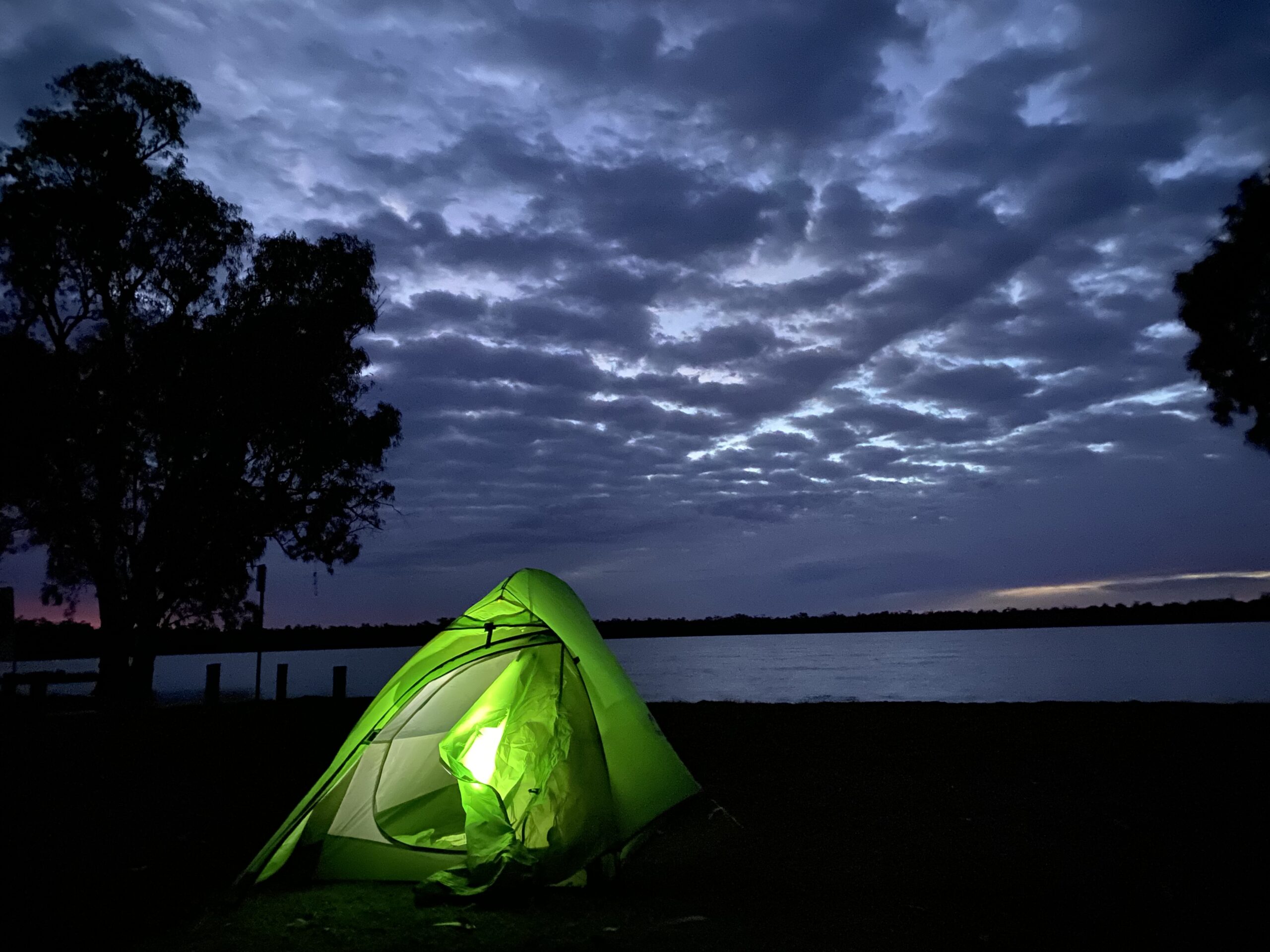
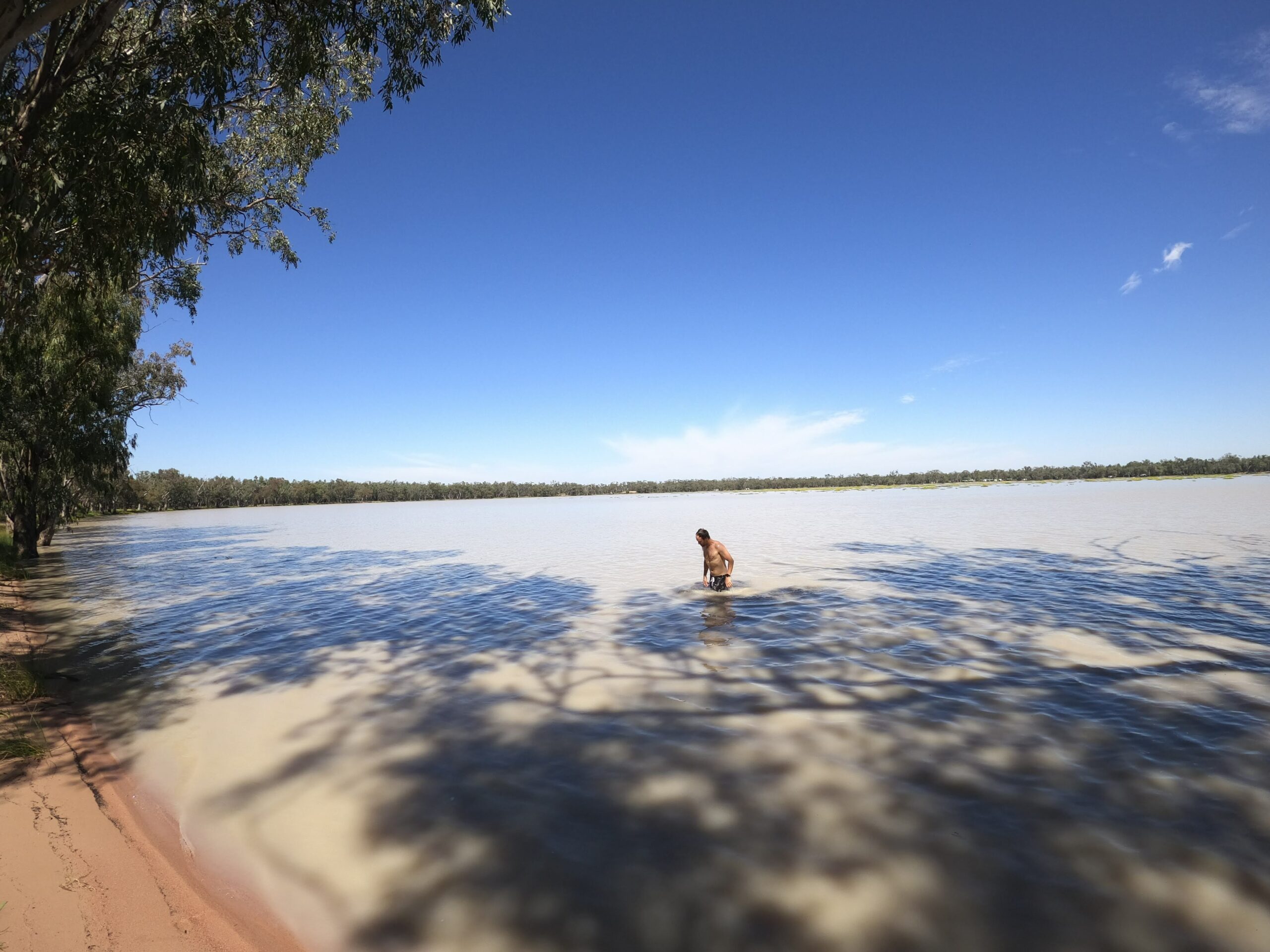
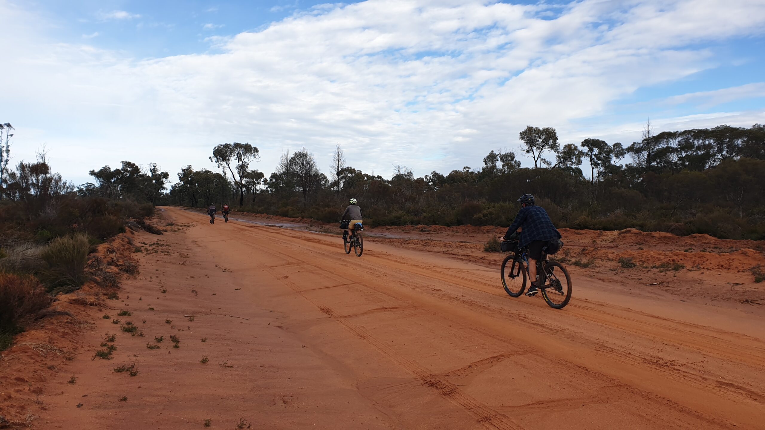
Out of Narrabri on some impossibly flat roads leads you out to Yarrie Lake – a worthy place for a swim and a nights stay. Next up is the Pilliga, and while the profile through here looks mostly flat, the ongoing rolling hills and patches of soft sand will be making you think you’ve climbed Kaputar a second day in a row. This area is steeped in history and is another highlight of the trip, with unique forests, wildlife and history. Stops at the Salt Caves and Dandry Gorge are a great way to have a breather and a snack, with good camping also available at both of these locations. The Pilliga is littered with trails, and there are plenty of alternate route options to get to Baradine.
Baradine has a small supermarket and a couple of pubs, and has a good national park info centre.
Baradine to Tooraweenah
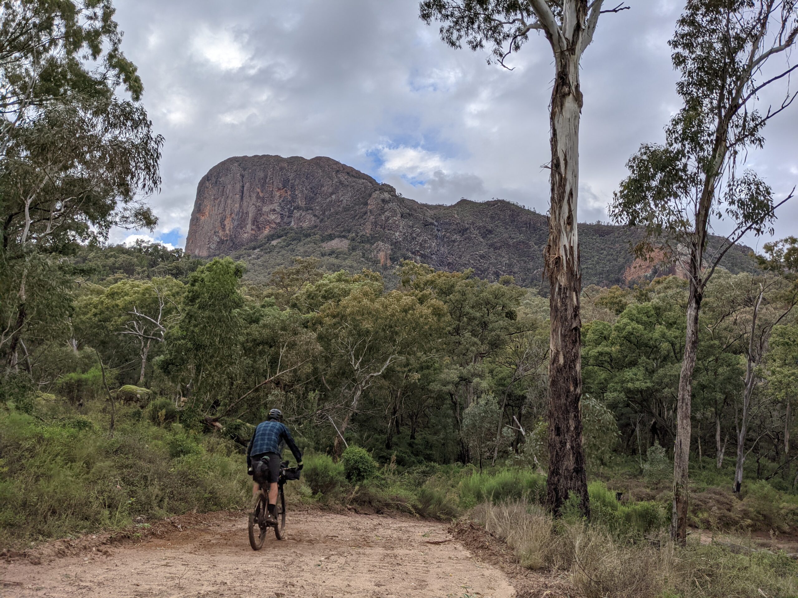
The dirt roads out of Baradine can be almost impassable in the wet, passing through some of the fertile lands that the area is renowned for. An alternate option in wet weather to get to the Warrumbungles is to use Goorinanawa Road instead of Bramble Rd. The peaks of the Warrumbungles are visible along most of the route, becoming more imposing the closer you get.
The route does a lap through the base of the Park to the visitor centre (which has ice cream and drinks, but not much else food wise) and Camp Blackman, which has good facilities if that’s what you’re after. More primitive camping can be found at Burbie, Danu, and Gunneemooroo. The Burbie Trail is another highlight of the trip, with some rugged sections of trail and sweeping views of the park. This 15km section will take you hours, not only because of its difficulty, but also because of how many times you’ll be stopping to take in the scenery. This trail turns to mush in the wet, and an alternate route is available via John Renshaw Parkway.
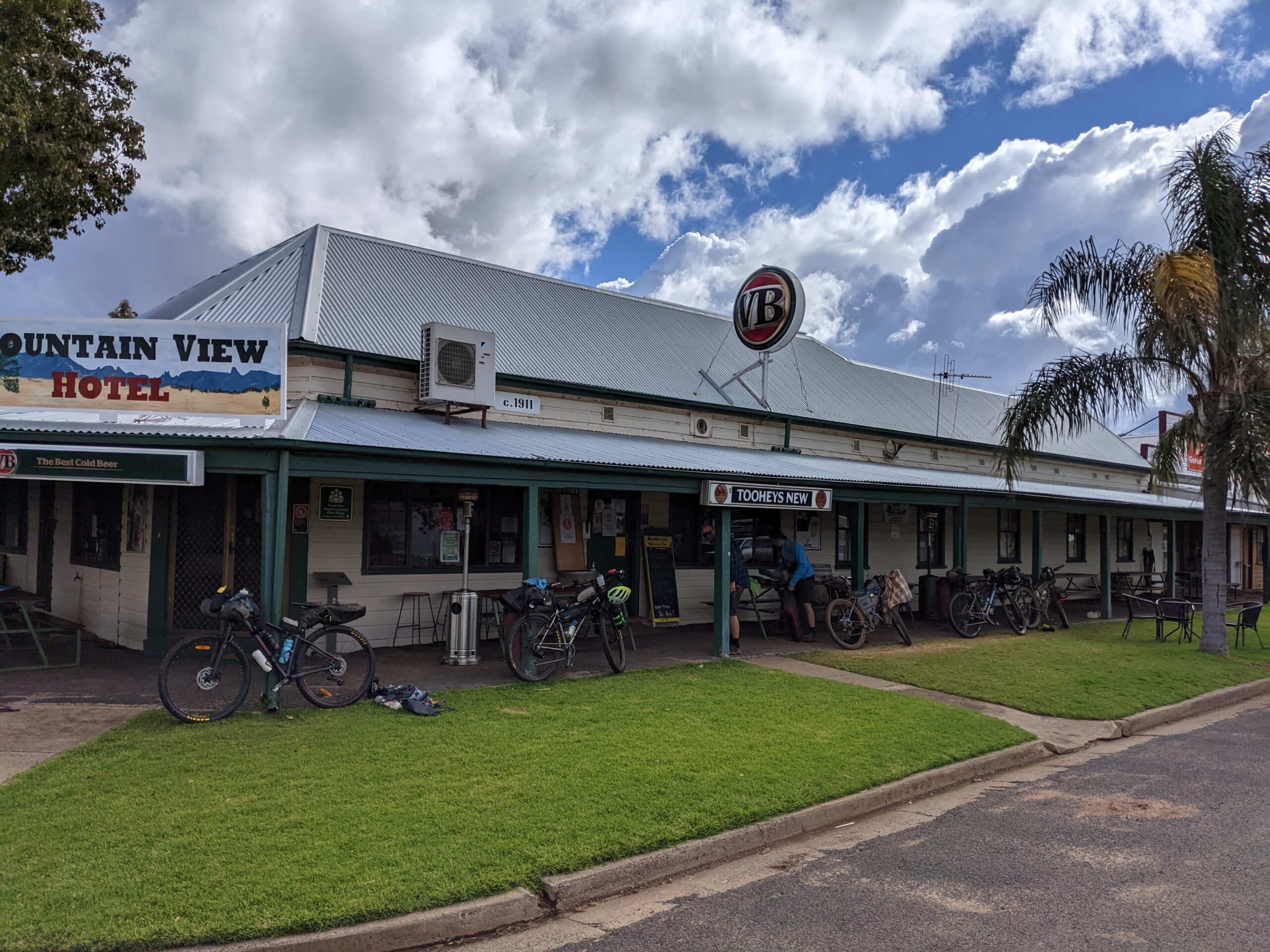
There’s not much at Tooraweenah except the Mountain View Hotel, and it’s worth a stop for their lunch specials alone.
Tooraweenah to Coolah
When we did this trip, there was an epic westerly wind that blew us all the way from Tooraweenah to Mendooran, then onto Coolah the next day. The town of Meendooran has become accustomed to riders tackling the Central West Cycle Trail (CWCT), with which this route shares for a few km (and would be a good option to extend this out for a 1200km+ loop), and the pub provides space for bike washing and storage, along with comfy beds and cold beers.
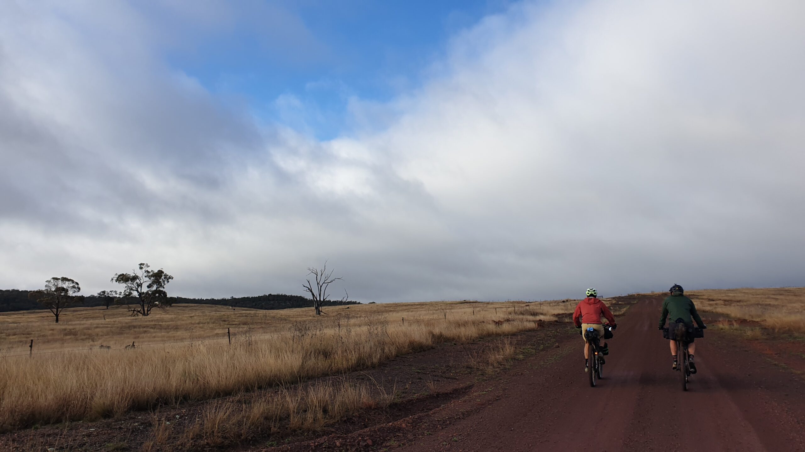
The stretch between Mendooran and Coolah is basically one long and gradual climb for 60km before abruptly descending 5km out of town. There are opportunities to capture glimpses back towards the Warrumbungles and beyond at the higher elevations. Coolah has a few pubs and a supermarket, and is a good place to resupply as there isn’t much besides a few pubs between here and Gunnedah!
Coolah to Premer
Another highlight – Coolah Tops. This hidden gem is off the main route and requires a solid climb to reach its 1100m elevation. On our trip we were treated to the most painful peltings of hail imaginable as a storm chasing us from the west finally descended upon us – we took shelter behind an embankment as there was little cover. Snow is also possible up here so pack your thermals.
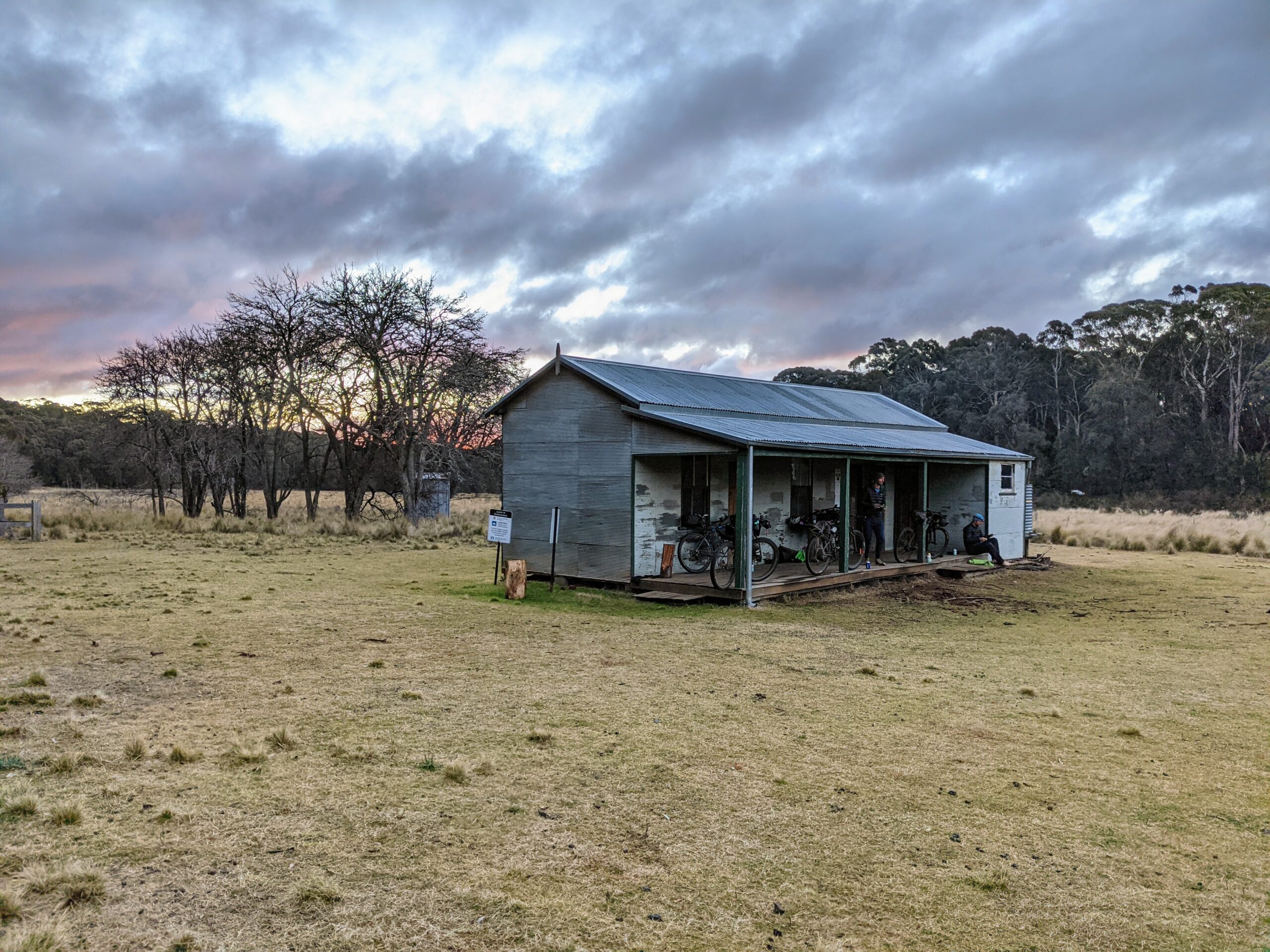
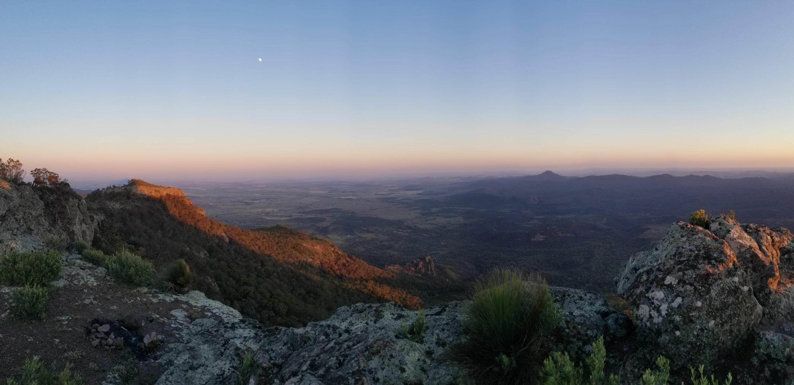
Once you’ve reached the top, there are a bunch of trails, waterfalls and rock formations to explore, along with a few campsites and one of the best huts ever (needs to be booked in advance). The few extra k’s out to Bundella lookout is worth it for the views over the never ending plains, and the Pinnacle lookout, especially at sunset with the sun fading behind the silhouette of the Warrumbungles. For those with more time up their sleeves, a technical hike to the lava tube is a worthwhile adventure.
Hopefully you’ve stayed the night and seen all the sights that Coolah Tops has to offer, but the best part is yet to come with a 15km descent, before the final “real” climb of the trip over Pandora Pass. After taking in this view it’s all downhill and flat to Premer. Don’t count on anything being open here, including the pub.
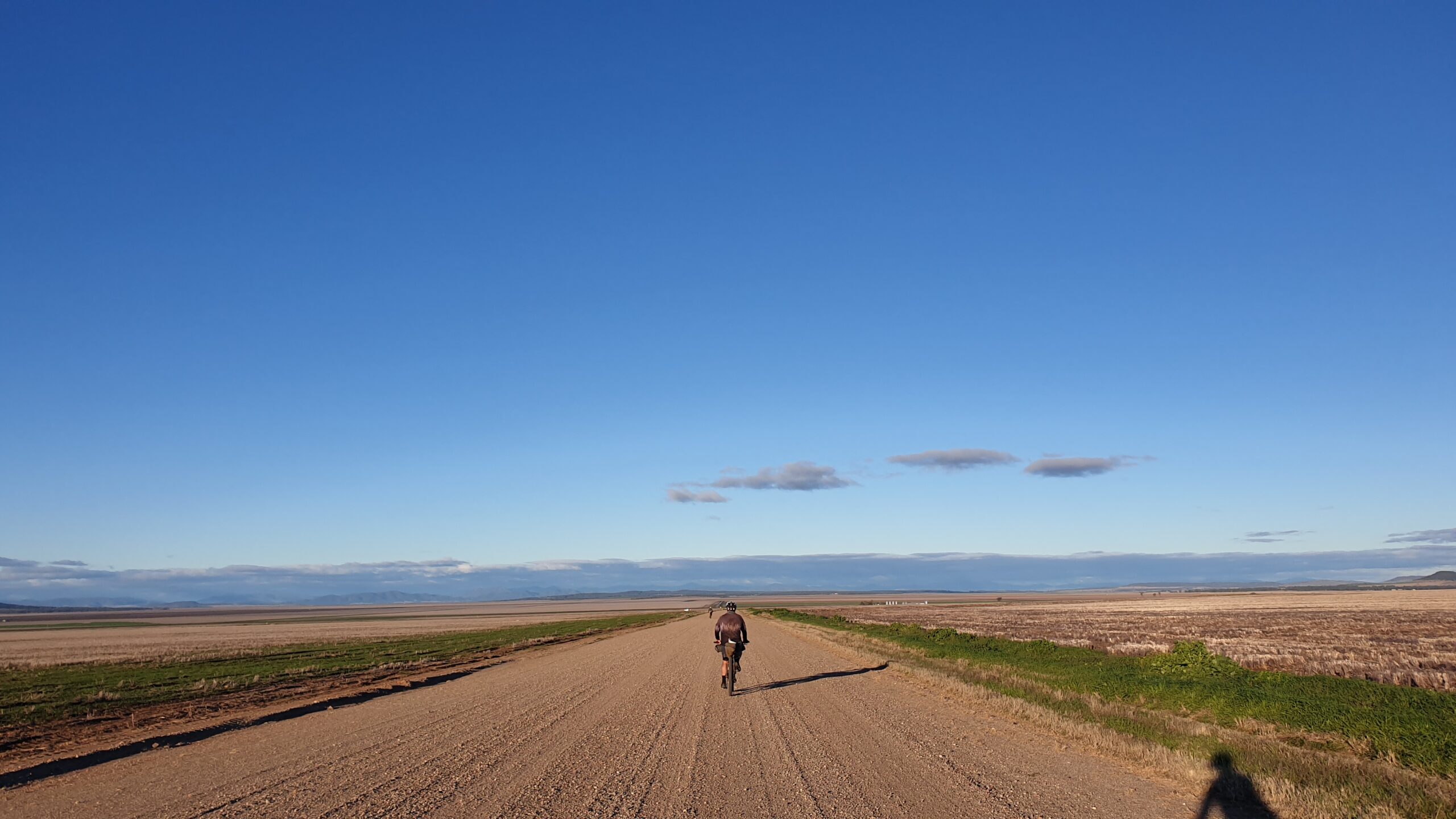
Premer to Gunnedah
The final stretch!
This section is dominated by the expansive Liverpool Plains, with a few forests in the hilly sections. Tambar Springs has a good pub which offers huge pizzas (we each tried the 2 for 1 deal and were consequently defeated).The next stage through the plains is stunning at sunset, especially between Trinkey and Breeza where the fields glisten in the evening sun.
Curlewis is the final stop before Gunnedah. From here it’s only another 30km back to where it all started in Gunnedah, where a schooner at the court house is awaiting.