Bikepacking Canberra to the Coast
Route on ridewithgps.com
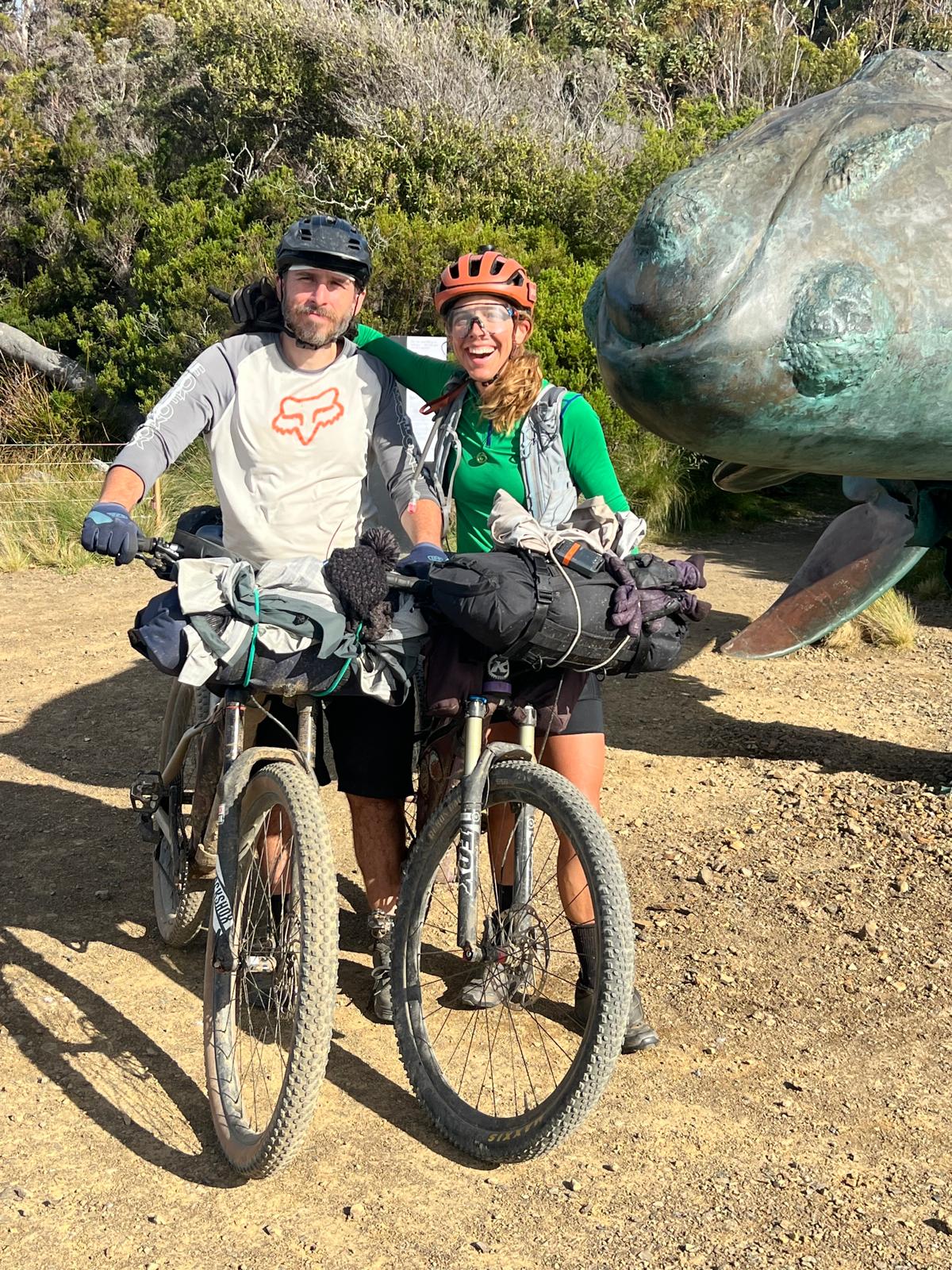
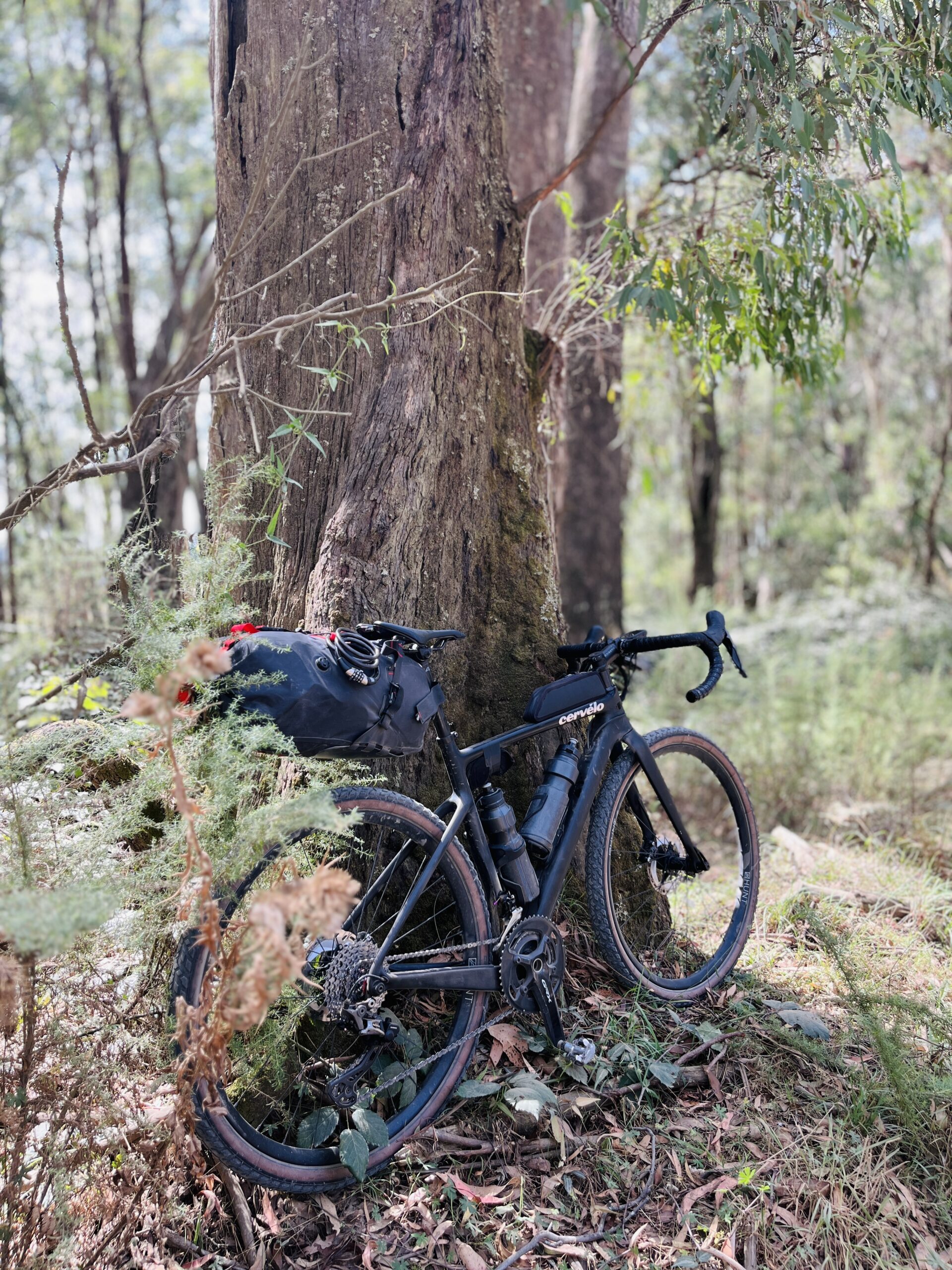
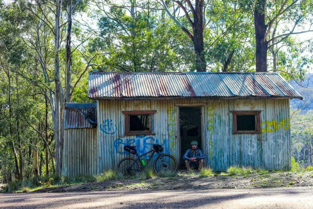
Words & Photos by Mattie Gould
Illustration by @leeleebefrank
6 minutes
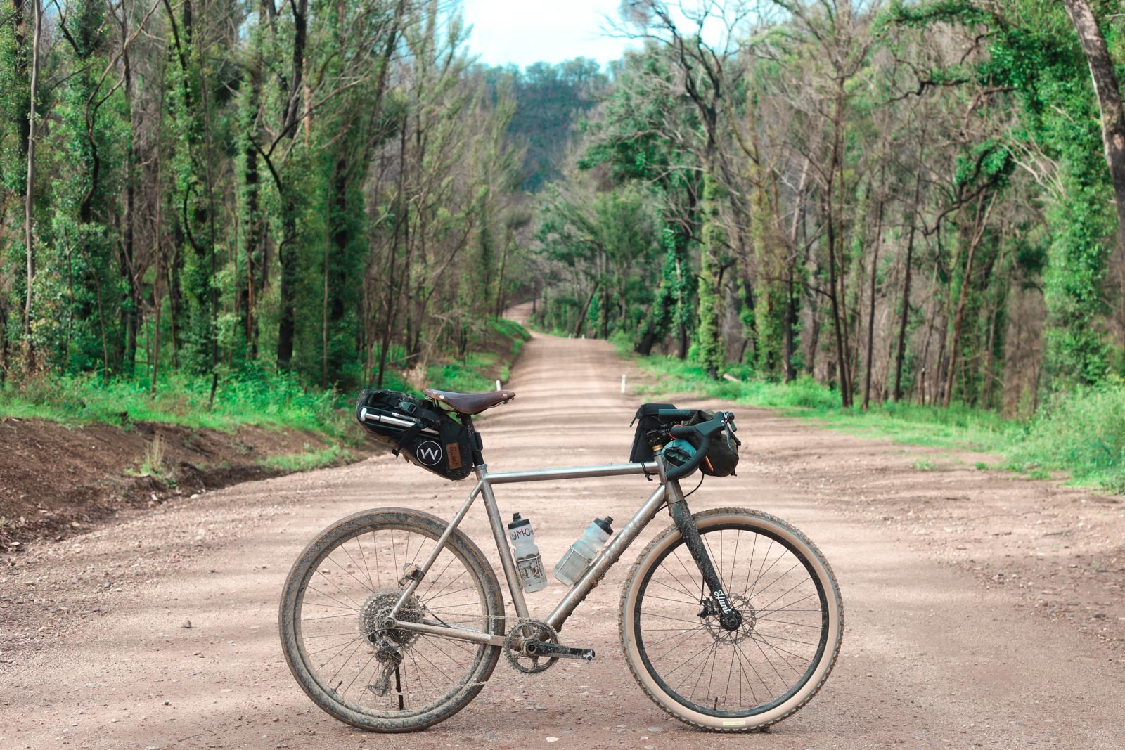
Bikepacking from Canberra to the Coast
Canberran’s are well known for descending upon the nearby NSW coastline like a pack of locusts in summer, and the Canberran cycling community are no different. Bikepacking from Canberra to the Coast, via Araluen, is a decent 180km(ish) ride that can be done in 1-2 days, or more.
I’ve ridden this route, and variations of the route, six times over the last few years. It’s definitely achievable in a day, it took me just over 10 hours of riding time from North Canberra, to Tomakin (about 20km north of Moruya). Stopping halfway at the Pub in Araluen is a much easier option, for splitting the ride across two days. The campgrounds in the Deua NP are currently closed because of the bushfires at the start of 2020, and there’s been several road closures recently, so it’s definitely worth checking it out before riding.
Part 1 – Canberra to Araluen
Note: I’ve updated the Ride with GPS file to include the detour between Majors Creek and Araluen. It’s up to you if you follow this detour, which adds a bit of extra elevation and distance on the road, or follow the tyre trails down the closed road where you’ll need to carry your bike over the many fallen trees.
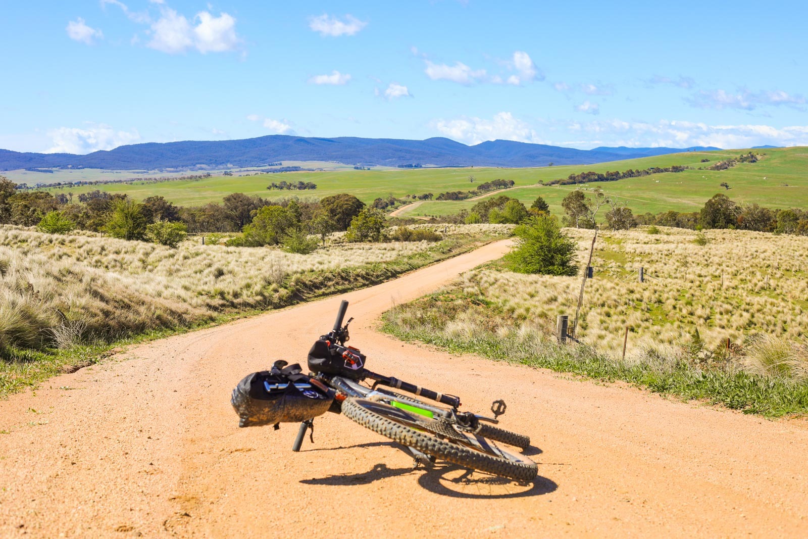
Setting out from the city, you’ll have a fairly unavoidable first 30km or so of riding along the side of the road, climbing out of Queanbeyan and along country roads to Hoskinstown. If you time it right, it’s actually quite a nice road ride, but if you catch it at rush hour, I can’t imagine it being so nice. Once you reach Hoskinstown, there’s no shop so don’t plan on grabbing a snack here, the dirt begins and you’ll get a taste of what’s to come.
From Hoskinstown, you’ll have a beautiful, cruising, undulating ride through fairly open farmland along some of the best gravel near Canberra. After about 20km you’ll hit Tallaganda State Forest where you’ll begin with a long climb to the top of the forest. From the top, you’ll get your first view across to the Great Dividing Range. There are some camping options in Tallaganda, but I haven’t checked them out, preferring to continue through to Araluen or the Deua NP closer to the halfway point.
Major’s Creek & Araluen
After 5-10km of riding through the forest access roads, you’ll emerge near Harolds Cross and possibly the best stretch of riding of the entire route. It might only be 5km long, but the riding from the forest to Cooma Road is smooth, flowing, champagne gravel that overlooks open farmland.
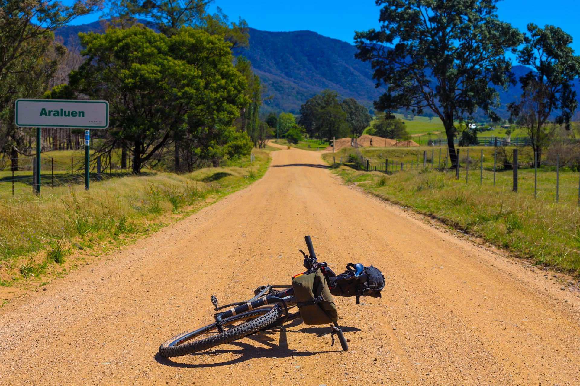
Once you reach Majors Creek, you may be lucky and find the pub open, or you’ll just have to keep on riding until you reach Araluen. Following the 2020 bushfires, the road between Majors Creek and Araluen has been closed, with little sign of reopening. There’s a decent detour that takes you onto the main road down into Araluen Valley, it’s just a little further than the closed route.
Araluen Pub is the perfect spot to stop for a feed, and a cold drink. There’s hotel accommodation if you’re staying the night, which costs about $60, including free reign of the coffee, toast and cereal the next morning. I’ve heard that you can camp out the back of the pub, but it’d be worth calling the pub and confirming this before leaving Canberra.
Part 2 Araluen to Moruya
Note: As of 01/01/2021 there’s been a landslide on the road between Araluen and Moruya. I’ve heard rumours of a detour up Knowles Road that will swing you out towards Mogo, but please plan and adjust your route accordingly.
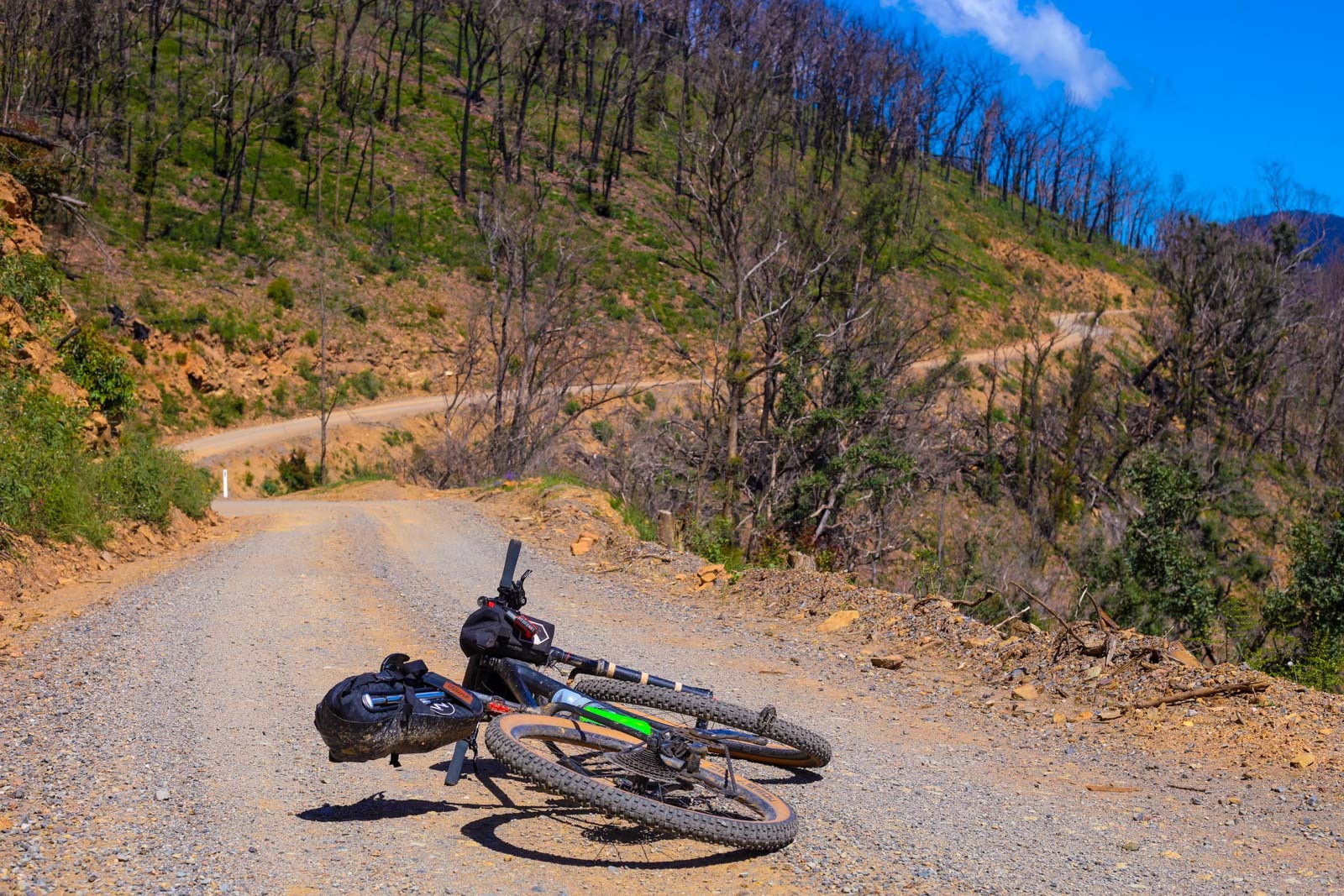
After leaving Araluen, you get the sense that it’ll be a gentle cruise along the river all the way to Moruya. On one hand you’d be right, the route does follow the river. But on the other hand, you’d be dead wrong. The second half of the ride may be shorter, but I find it to be much harder than the first half.
As the river winds its way to the coast, the road itself is a constant set of climbs and descents followed by even more climbs and descents. The constant elevation shifts are slight, so slight that they’re basically invisible on the ride with gps elevation diagram. But their lack of obvious hardship definitely adds to the hardship they cause. During these final 60km, you’ll find it hard to maintain a rhythm as you are either climbing or descending, and not much flat pedalling in between.
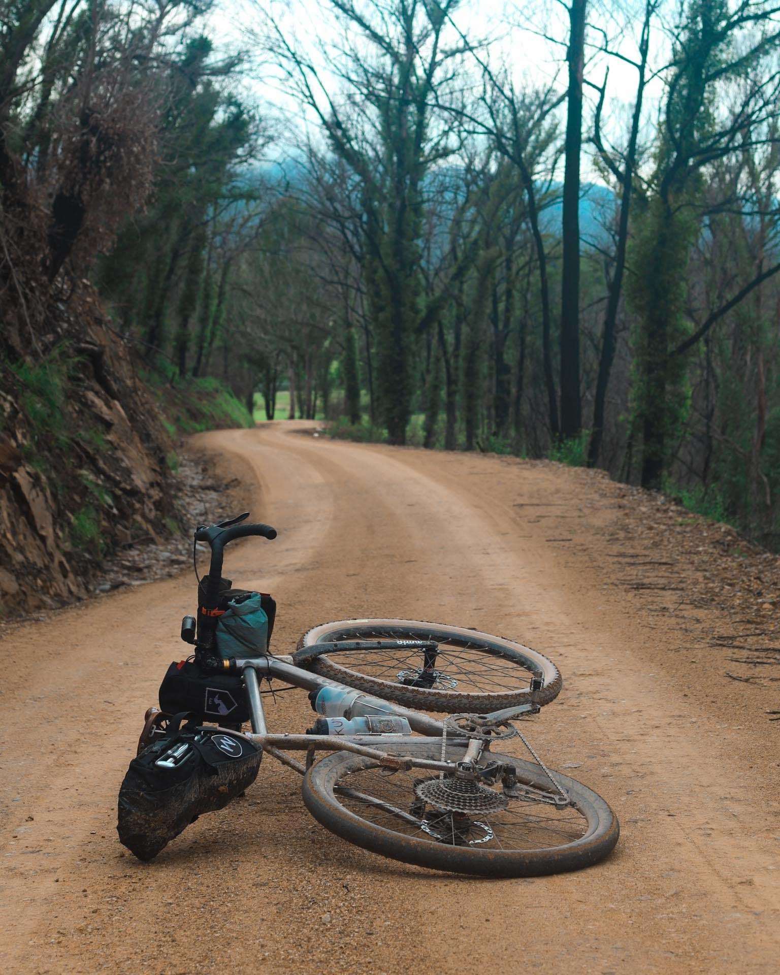
That being said, this is a beautiful section of the route and the devastating effects of the 2020 bushfires can definitely be felt. The regrowth may well be bright green, but majority of the trees are still burnt poles, offering no shade for the rider and opening up the view down the valley that was previously hidden. Hopefully the Deua campground will reopen soon, as it’s a great spot for a camp and a swim; keep an eye on the NSW National Parks website for updates.
When you reach Moruya, treat yourself to some fish and chips, stock up on supplies, turn around and start pedalling back to Canberra! Maybe not. If you’re looking for somewhere to camp, there’s a great spot about 15km past Moruya called Congo campground. It’s a small site, right on the beach, with a decent shower and toilet block, but still rugged enough to feel like you’re still slightly off the beaten track. I normally arrange to meet family or friends at the coast and stay down there for the weekend, then hop in the car and drive back, avoiding a vastly different elevation challenge than outbound route bikepacking from Canberra to the Coast.
Check out more stories from Mattie here.