Solo Bikepacking on the Nightcap Range
Words & Photos by Ryan Slater
6 minutes
The Circuit Breaker
I’d been longing to escape the rigors and pressure of a busy work-life and the current “health” climate for some time (2021 is turning out to be the doppelganger of 2020). After canceling proposed trips with friends, due to inclement weather, I decided to venture out alone.
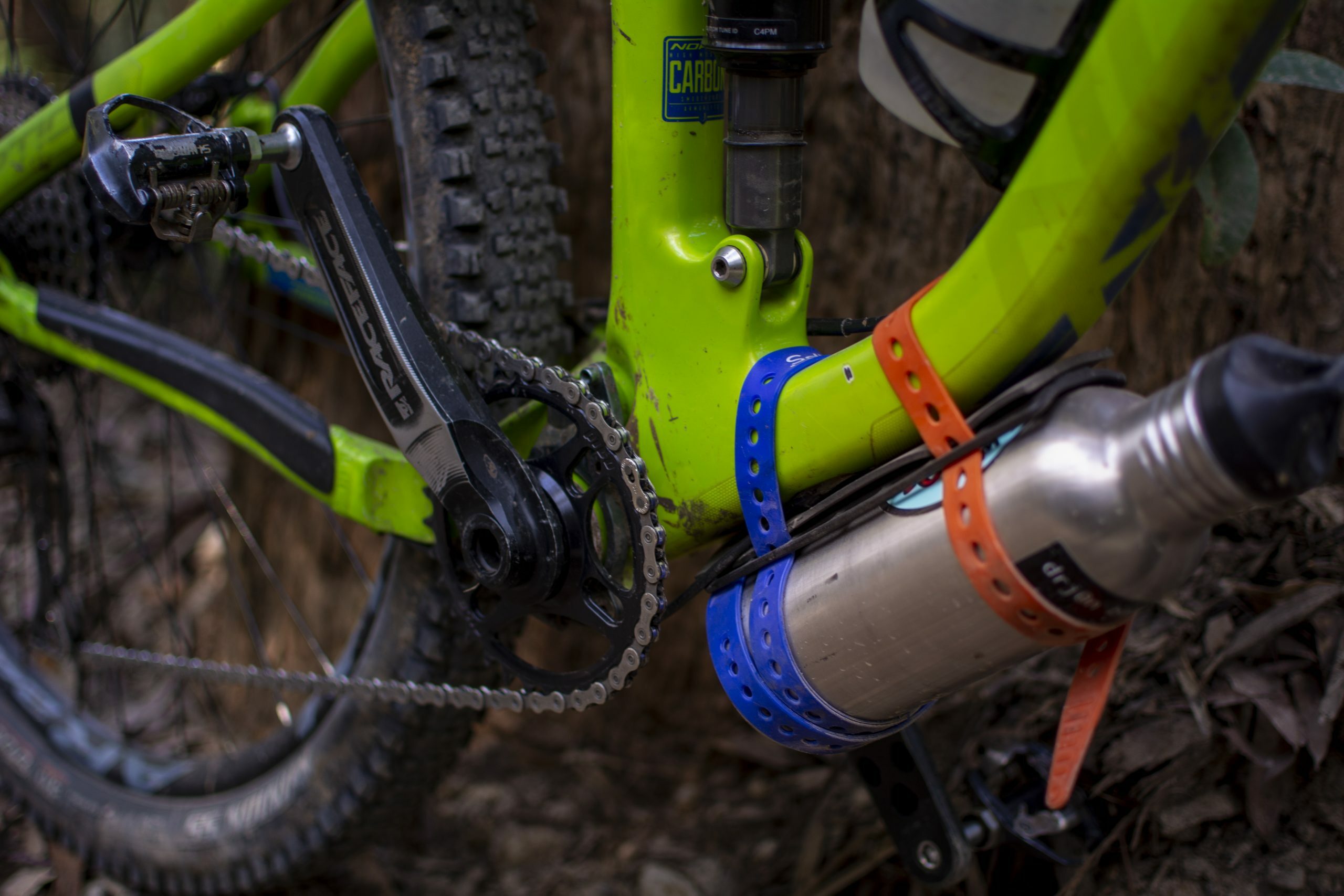
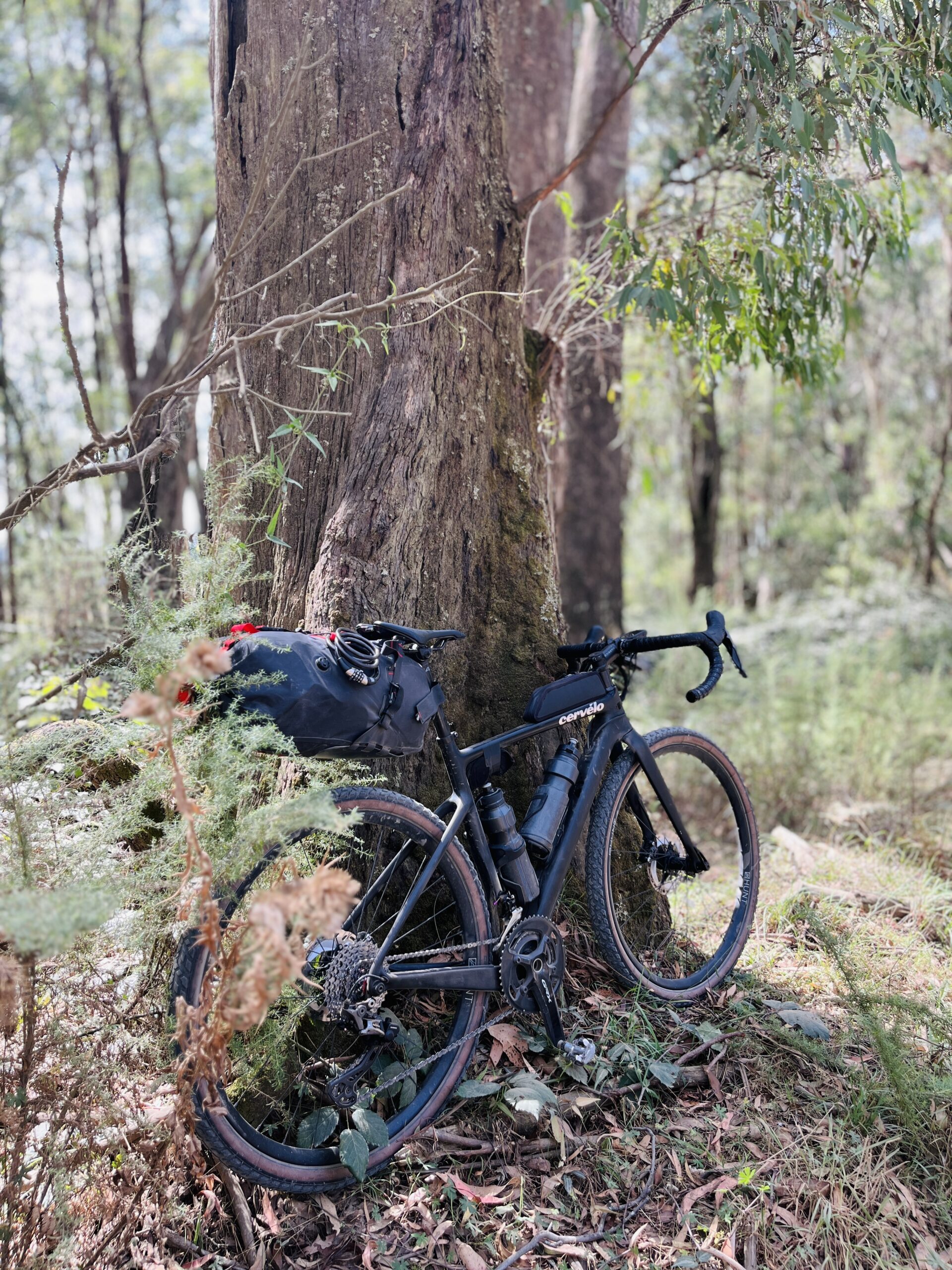
A cracked rim on my trusty gravel bike forced me to plan this trip around my mountain bike. Typically this reduces the distance I can cover, whilst also reducing the amount of gear I can carry. With that in mind I decided to traverse the Nightcap Range over into the wollumbin (Mt. Warning) caldera and spend the night at a “Hipcamp” near Tyagum (drop the y apparently!).
Meeting a King
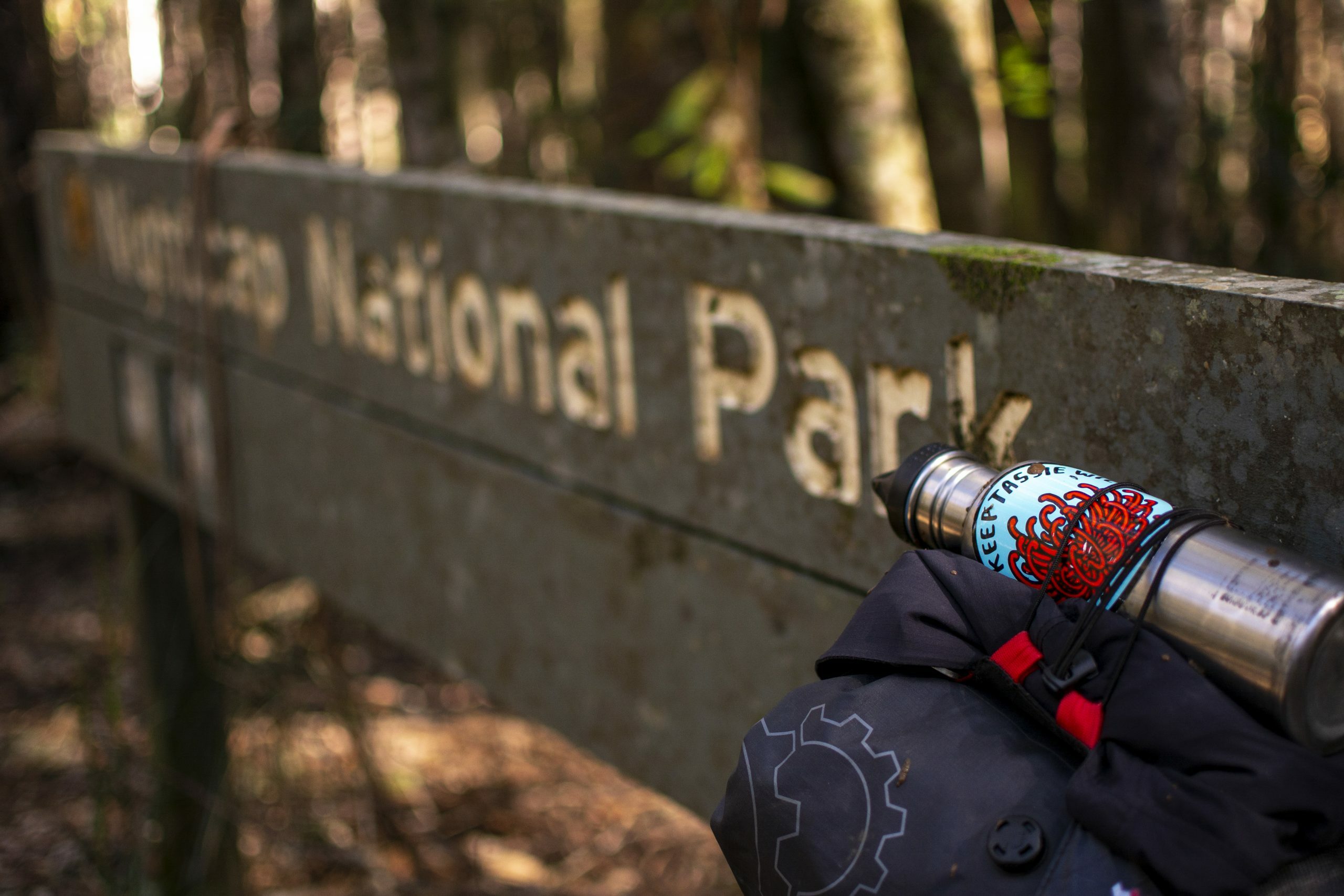
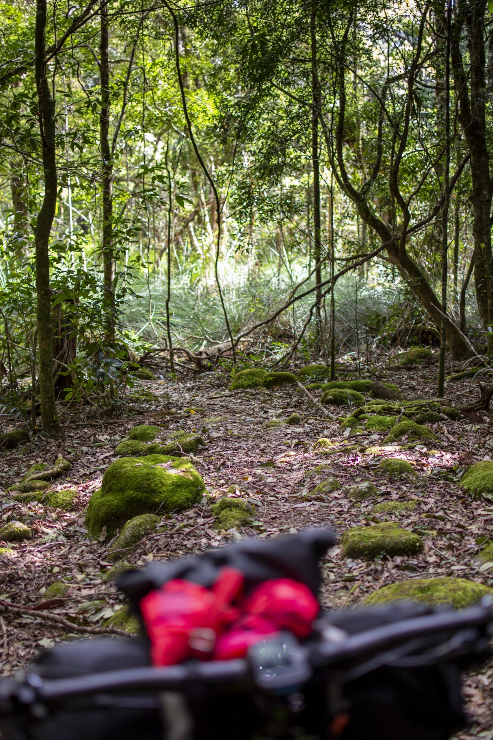
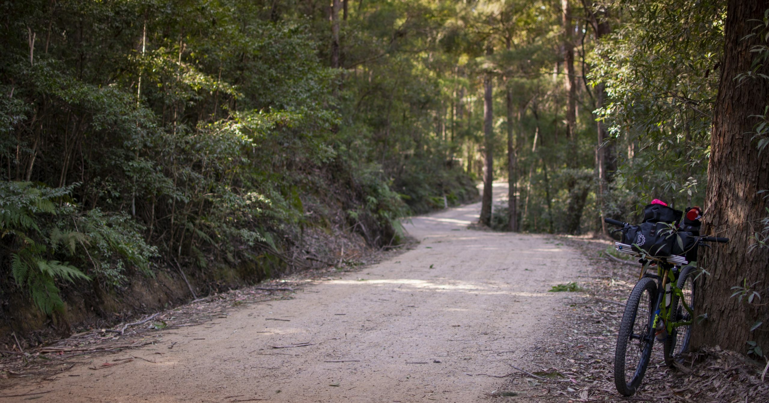
Nightcap National Park and Whian Whian State Forest are dense subtropical rainforests, remnants of Gondwana Rainforest, which covered vast areas of eastern Australia prior to logging. These areas were logged to such a severe extent that only 1% of native rainforest remains. These places hold significant biodiversity value and are worth protecting.
Cycling (walking, or running) through these rainforests allows one to step back in time, to a pre-industrial period where the air is pure, to a time where “…vegetation rioted the earth and the big trees were kings.” Joseph Conrad – Heart of Darkness.
Some of these kings still remain; others bear the scars of our ancestors’ hunger for good, straight timber, while some are gone completely. I passed one of the remaining – with a 3m girth you have to crane your neck to see the top of – a giant amongst giants.
Riding up through the range in the early morning listening to Icelandic post-rock was the ticket I was after. Steady climbing with the occasional break resulted in me reaching the high point for the day. Doon Doon saddle the next waypoint. I’d ridden this trail a few years ago. Largely ride-able then, it was awash with fallen trees making riding impossible.
Carrying a loaded bike over a felled tree is taxing; carrying over numerous trees is “character building”. If I weren’t so far in, I most probably would have called it a day.
Into the valley
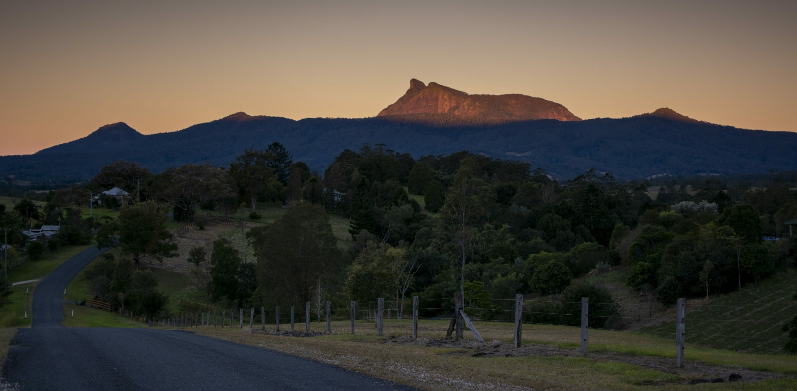
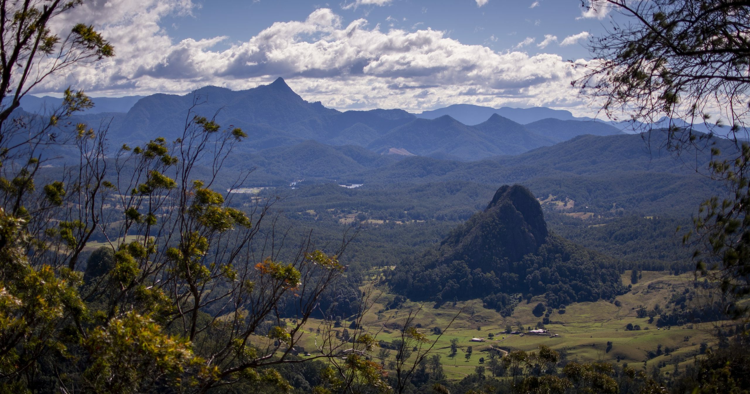
Upper Doon Doon valley is much like any other in this area where “private property – no trespassing” signs and flatbed 4×4 utes with “such as life” stickers reign. That aside, the scenery here is stunning – wollumbin ahead, Blue Knob to the left and Doughboy Mountain in the foreground gives a sense of being amongst the high places.
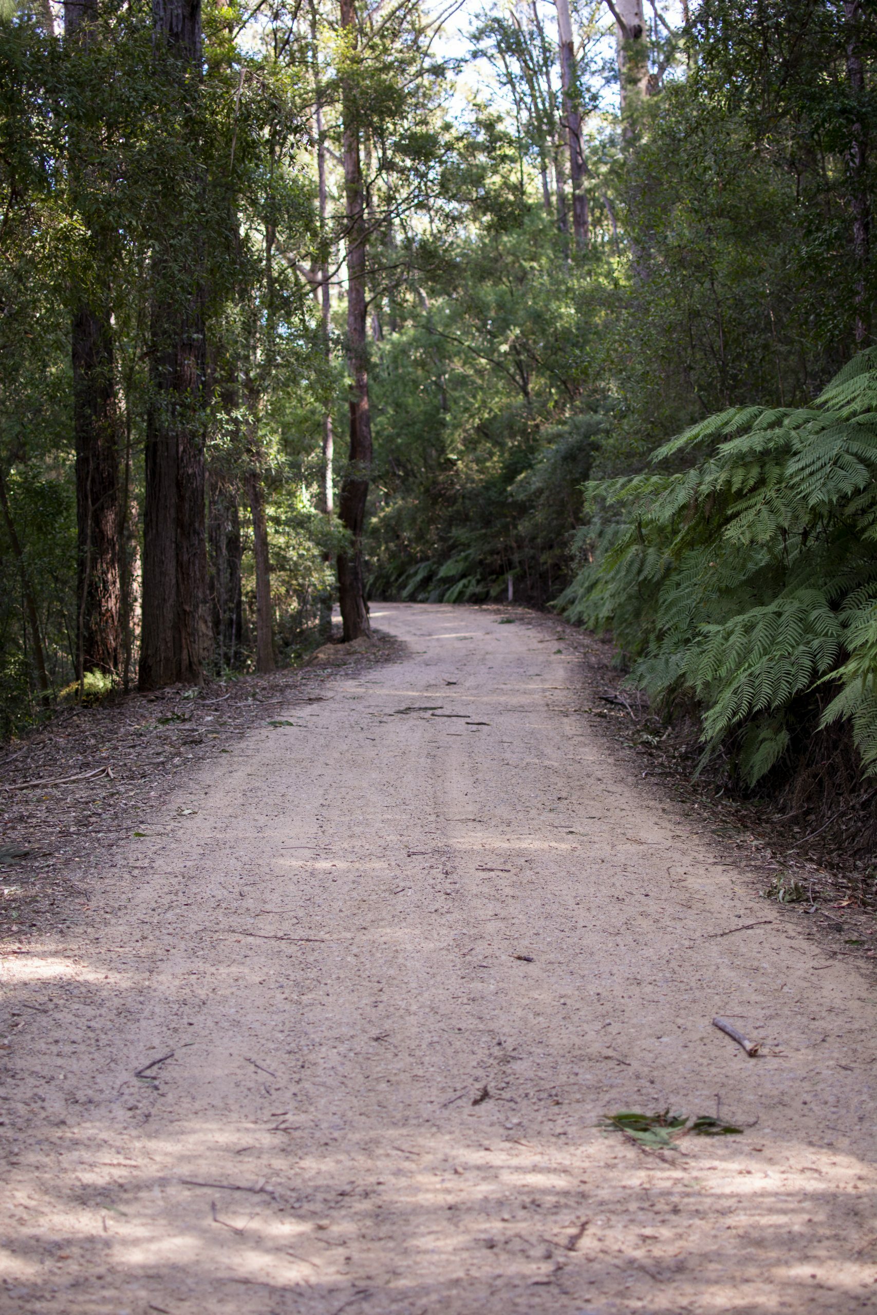
After a short spell on the road I made my way up Birryll Creek – a quiet back road that follows the winding creek before climbing to a saddle and crossing into the Oxley River catchment. Some sweet riding through pleasant country, this road is in the memory bank to come back for on the gravel bike.
Digs – Camping
I’d never used Hipcamp (formerly YouCamp) before and figured it was the best option because I was alone. A primitive campground with a composting toilet located under the Pinnacle with expansive views to wollumbin made this one appealing.
Though the campsite was reasonably sheltered, the wind overnight was horrendous. At times it sounded like a jet plane taking off next to me, my tent shaking and at times buckling under the gusts led to a largely sleepless night.
Dawn broke and the wind was still present, gusting with anger. Eager to move on (with a big day ahead) I got organised and moving sharp.
The Long Road Back
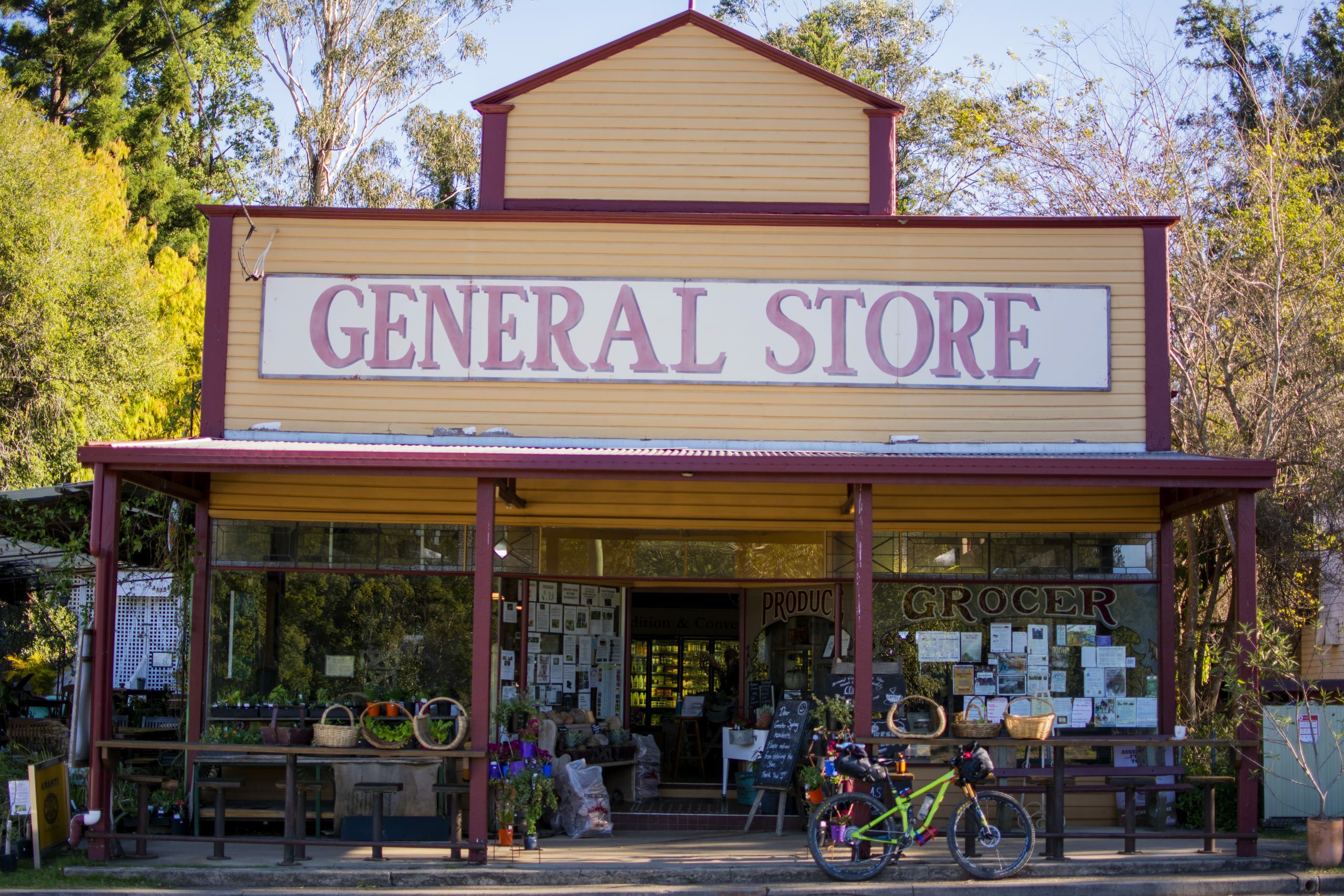
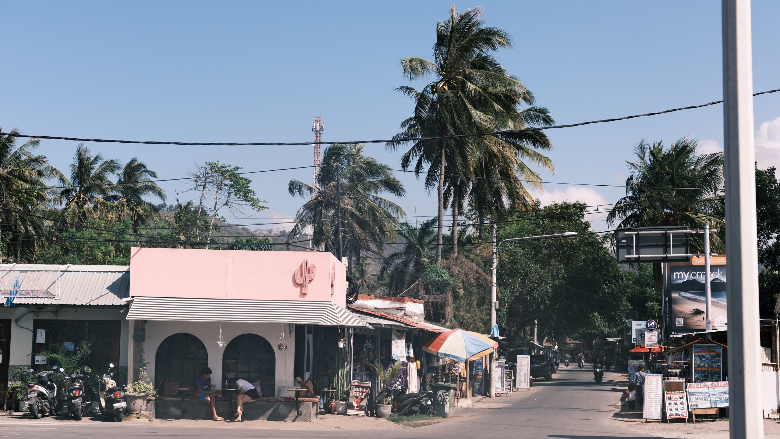
I began retracing my steps from the previous day before heading in the direction of Mullumbimby via Uki and Mainarm. Uki is a small “alternate” town under the shadow of wollumbin, with good people-watching and better coffee.
Between Uki and Mullum’ the road traverses Mount Jerusalem National Park – steep roads through wet and dry sclerophyll rainforest vastly different to the rainforest of the day before.
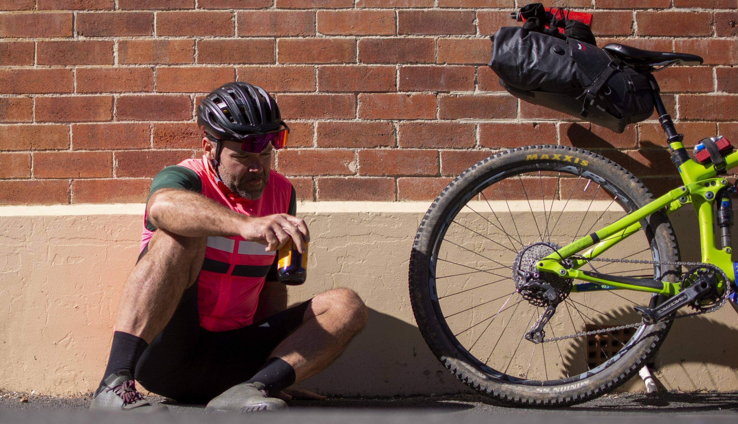
Mullumbimby is another “alternate” town, though being closer to Byron Bay it is more touristy than Uki. It was also a convenient stopping place for a slice of pizza and ginger beer from the IGA before heading back up over Nightcap.
Sting in the Tail
Out of Mullum’ the quietest way back to my car was via Wilsons Creek and Hounbrook. Old timber mills and dairy farms litter the valley. Industries of a bygone era, the land here is mostly used by people wishing to live off the radar.
The further I travelled up the valley the more the road became quiet with signs of serenity returning. Music on and in a rhythm I focused on the challenge ahead – North Rocks Road, a challenging climb with an average of 9.5% for 4.5km. I recall this being tough a few years ago, without bikepacking gear. A short section of hike-a-bike lead me to the gate. From here the gradient eased and the riding became pleasant again.
Being on the northern aspect of the range the full effect of the 2019-20 bushfires is apparent here. The fires decimated the local ecology, with some elements being lost forever.
After North Rocks Road it’s all down hill (in a good way) back to the car.
I had an enjoyable, though challenging, weekend away – the circuit breaker, a chance to strip it backto the essentials and reflect on the present.
I shouldn’t leave it for so long until the next one.
