Bikepacking the Nymboida Cycle Trail
Route on ridewithgps.com
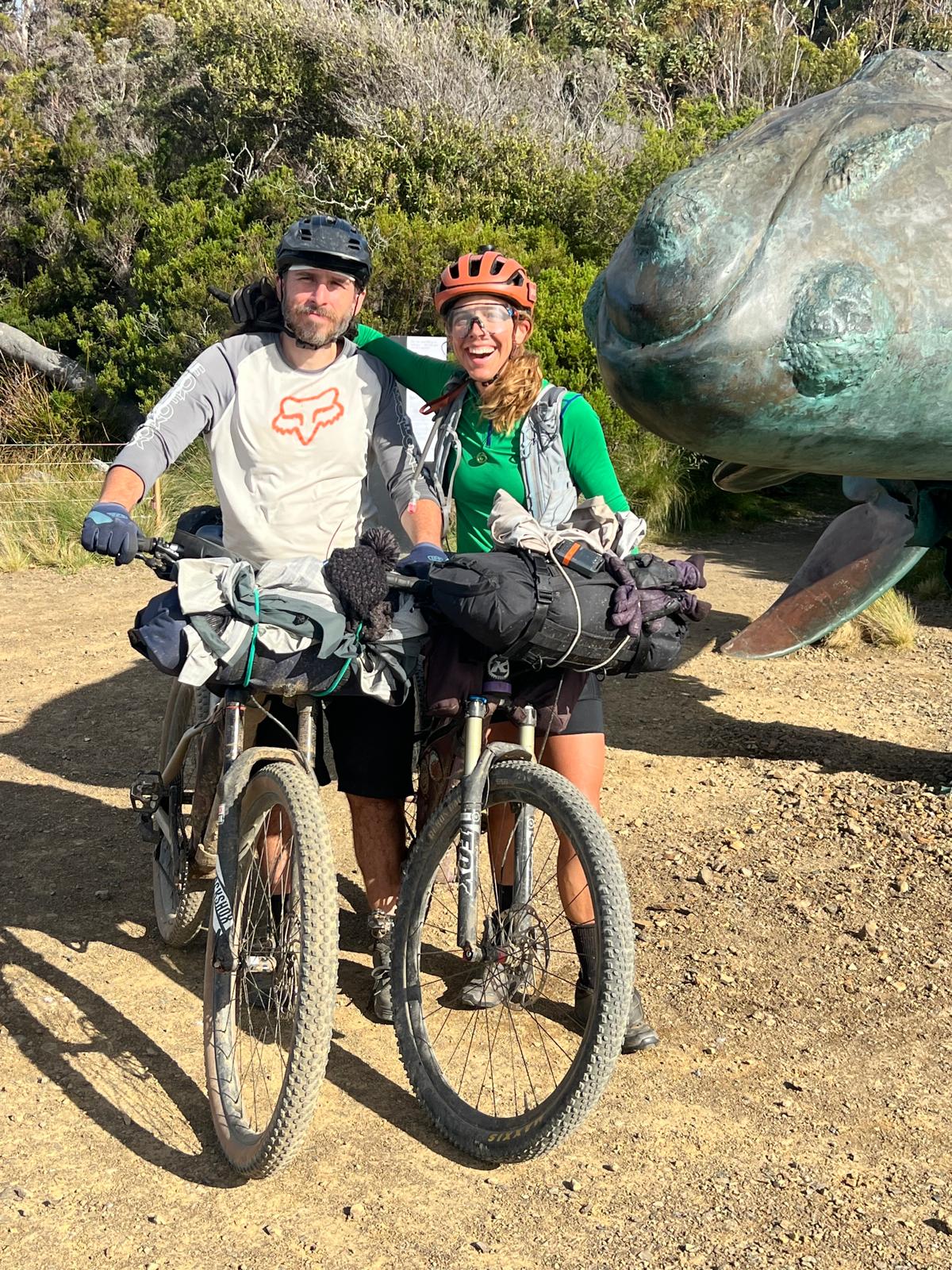
Words by Tim Doman
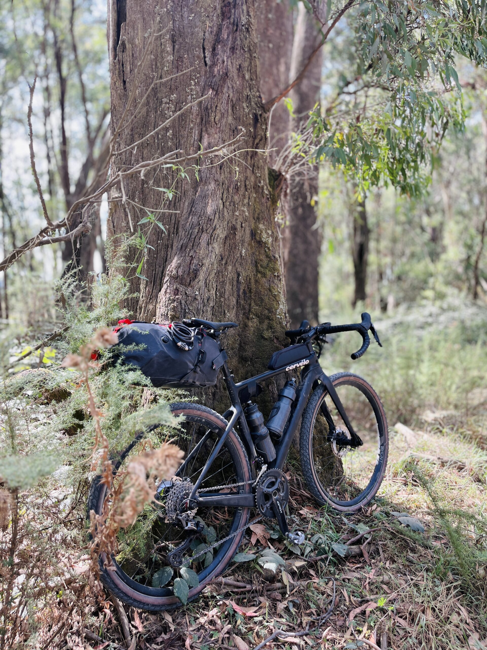
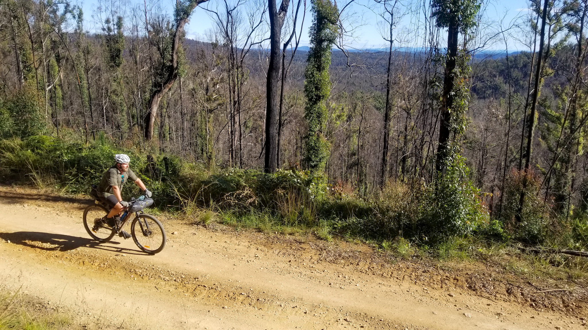
Photos by Tim Doman & @mynameiskyell
Illustration by @leeleebefrank
7 minutes
Centred around the Nymboida River and the countless creeks that feed it, the 256km Nymboida Cycle trail is best completed over at least 3 days to truly become immersed in some of the most spectacular riding in northern NSW.
The route is not technically difficult, however the climbing and remoteness does make it a challenge to complete, even for accomplished riders. A plethora of riverside camping options adds ample opportunity to kick back after a long day in the saddle and cool off in the mighty Nymboida River.
The area was hard hit by the 2019-2020 Black Summer bushfires, and while recovery is strong, the scars are still evident in both the environment and the community.
We would like to acknowledge and show respect to the Gumbainggir people, the traditional custodians of the area in which this ride takes place, and pay respect to their ongoing presence in the area.
Nymboida to Platypus Flat
The route begins from the Nymboida Canoe Centre, which also doubles as a campground complete with cabins and basic food supplies. There’s a pleasant traverse through the scattered village of Nymboida, before the first solid climb up Black Mountain Road.
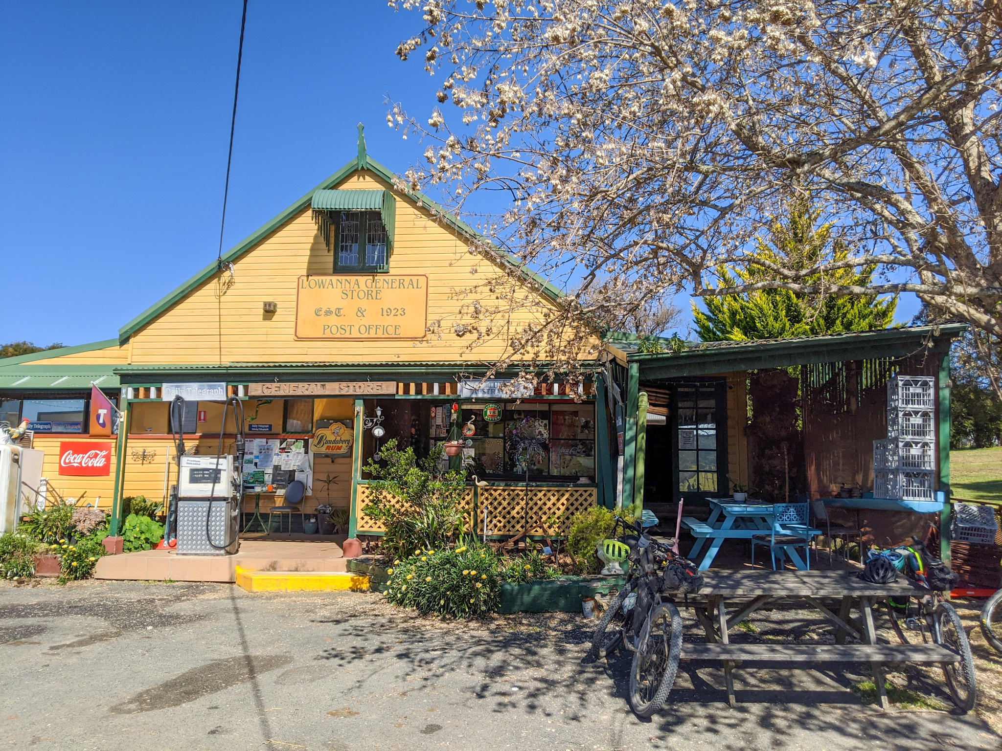
Delightf!ul undulating trail leads through a mix of Eucalypt and rainforest to the first and only resupply for the day – Lowanna store. Basic supplies, a liquor shop to stock up for the night, a good selection of cafe food, and friendly staff make it a must do. Bacon and egg roll is highly recommended.
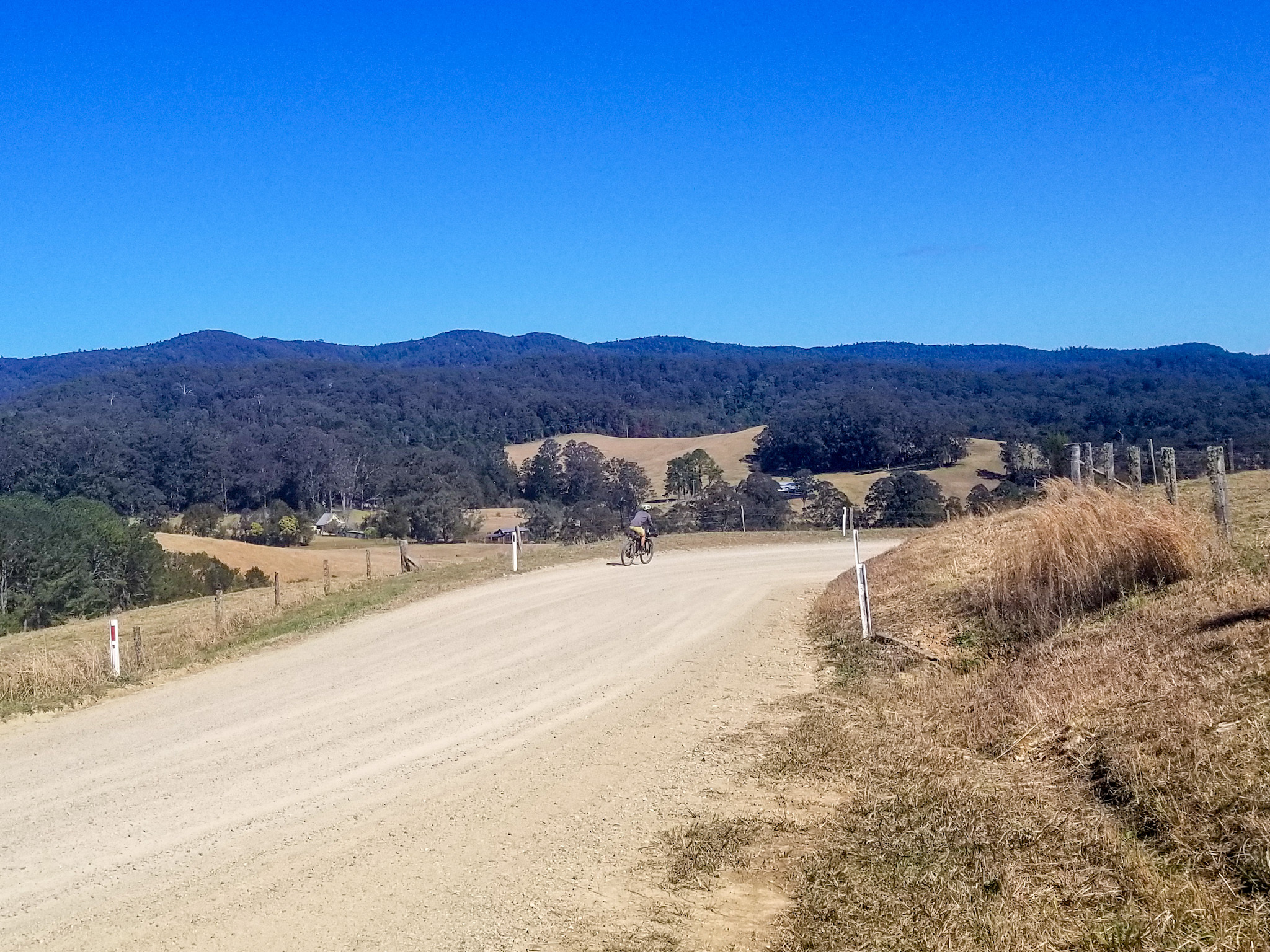
Meandering through dairy farms and world heritage rainforest means that the gradual incline all the way to Megan is barely noticeable. Keep an eye out for Mt Moonbil off to the left – a landmark visible throughout the Coffs Coast. For those seeking a few extra km’s, a side trip to Dorrigo is highly recommended. A wide selection of country pubs and cafes are on offer, as well as the famous Dangar Falls and Dorrigo Rainforest.
Completed in 1924, the Dorrigo Mountain Railway remains hidden amongst the rainforest for much of the route along Briggsvale Road. A sharp eye will reveal plenty of historical artefacts from a bygone era, left to rust in the encroaching wilderness.
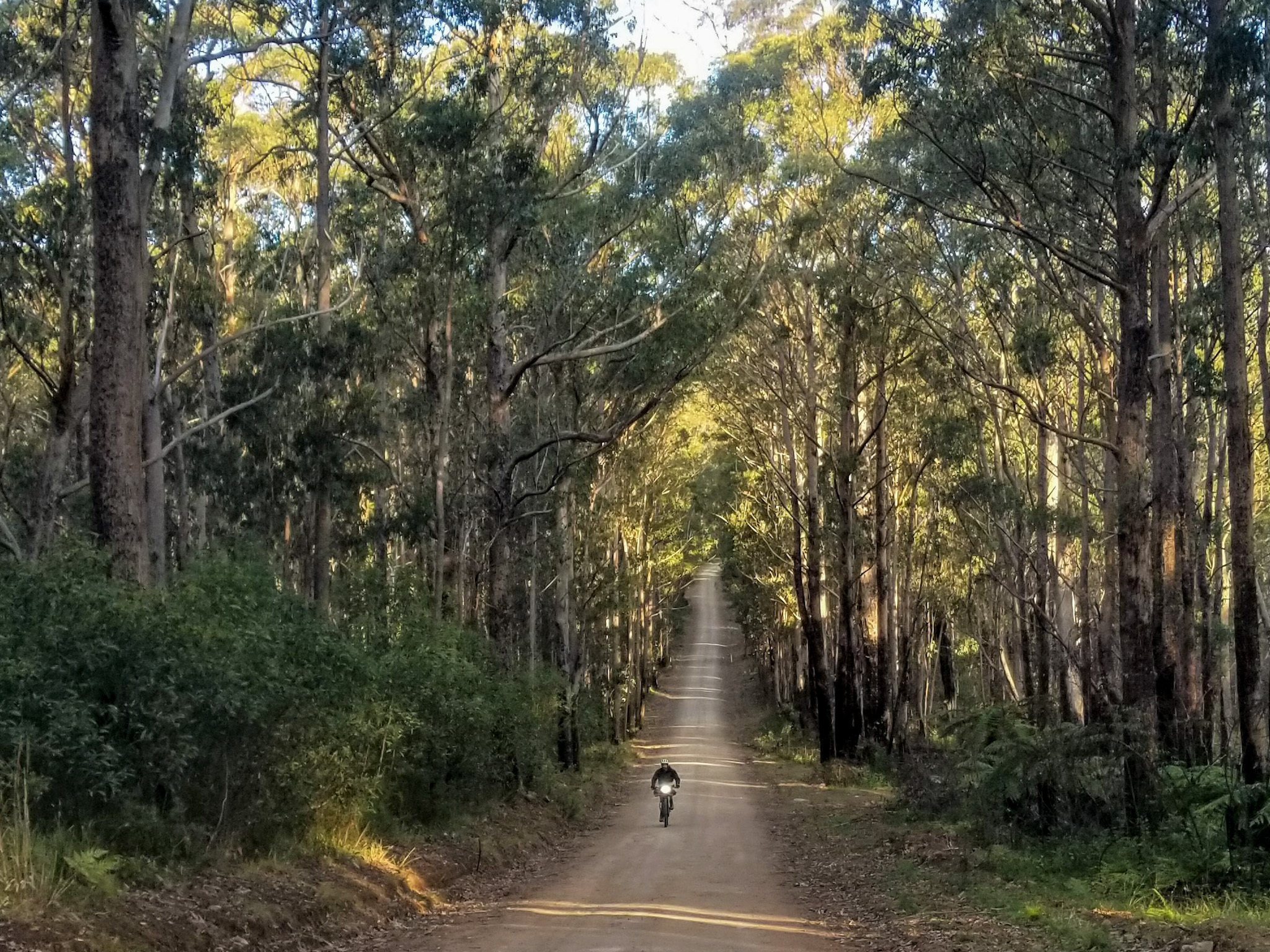
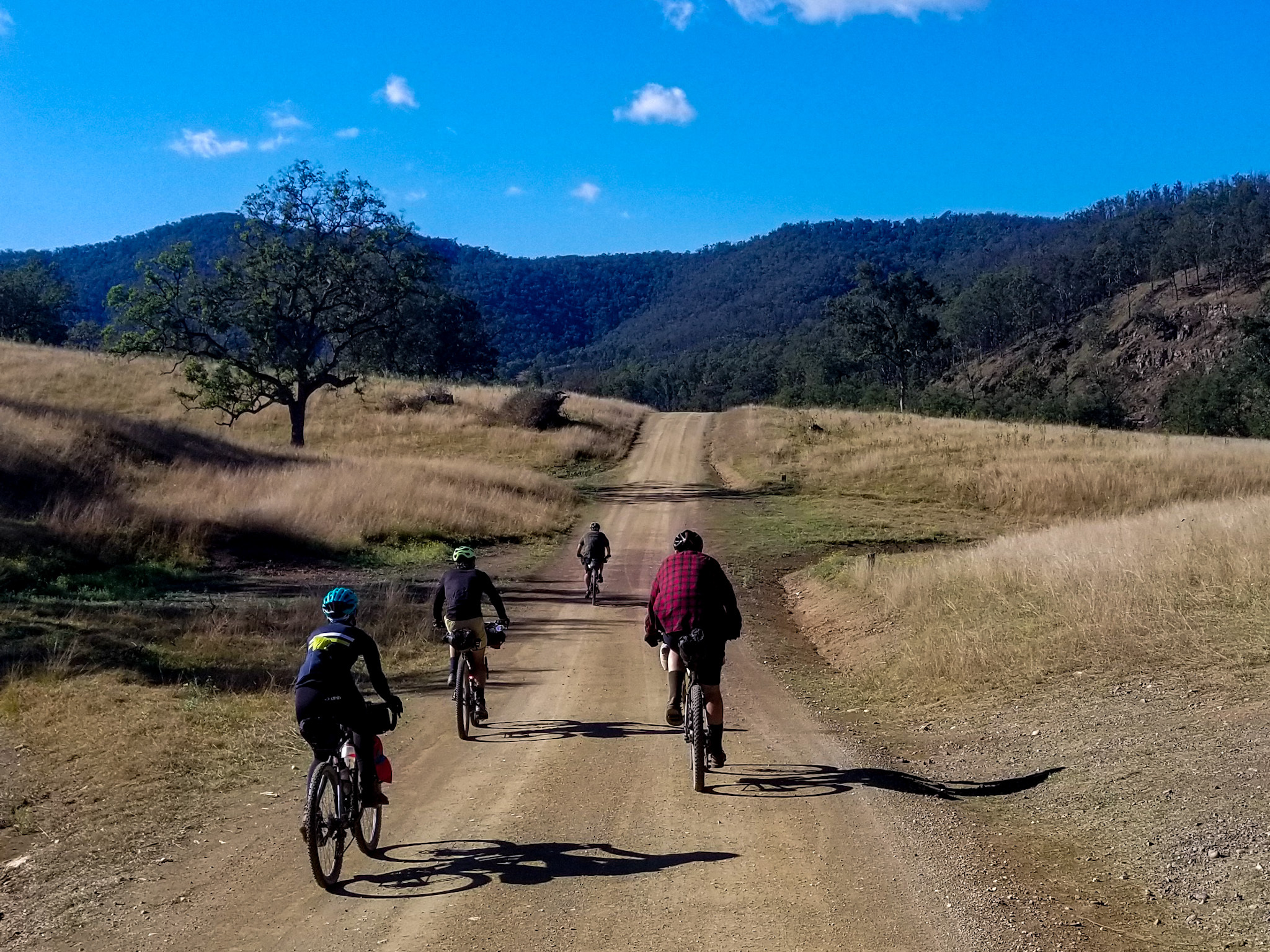
The last leg of the day along Moses Rock and Cedar Roads traverses amazing gravel roads through the straightest and tallest eucalypts imaginable. No wonder the area remains so popular for timber cutters. A side trip here to Mobong and Flaggy Falls provides a real experience of the gorge country that crosses the Nymboida wilderness – but keep an eye out for logging operations and rowdy unmaintained trails.
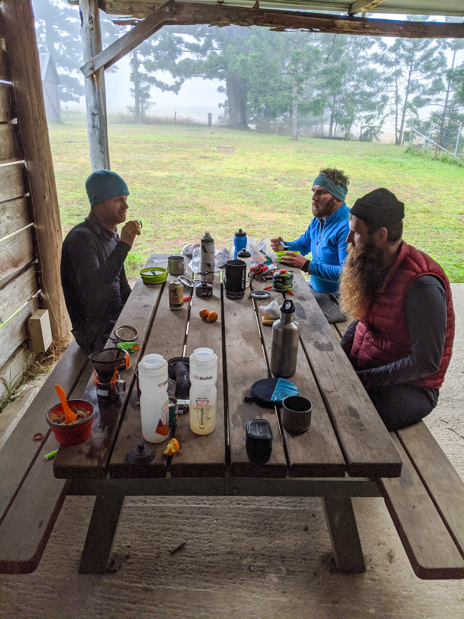
Settling in for the night at Platypus Flat campground is a must do. A wash off in the river followed by a campfire with a beer (bought at Lowanna of course), is reason enough alone to do the trip, but plenty more awaits on day two.
Platypus Flat to Dalmorton
After a rude climb straight out of camp, followed by an even steeper one after the river crossing, the legs will well and truly be awake and ready for the day ahead. Moonpar Road provides a smooth gravel ride all the way to the blacktop of Tyringham Road. Those that have packed light will be stoked to realise that the only resupply for the day at Tyringham Store is only 13km away. Basic supplies and a liquor store await, but don’t get your hopes up for another B&E roll. Morning tea and a swim in the Blicks River is highly recommended at Fahey Park, just before reaching Dundurrabin.
After Dundurrabin, the route starts to become properly remote. This is your last chance for water if you’re pushing onto Dalmorton, so stock up as there is a monster of a climb coming your way. Chaelundi Road quickly doubles your elevation through the world heritage Mt Hyland rainforest, reaching over 1300m high. Apparently 2 species thought to be extinct – the Hastings River mouse and the rare pouched frog – were found here during the 1980s, and continue to thrive in this isolated enclave to this day.
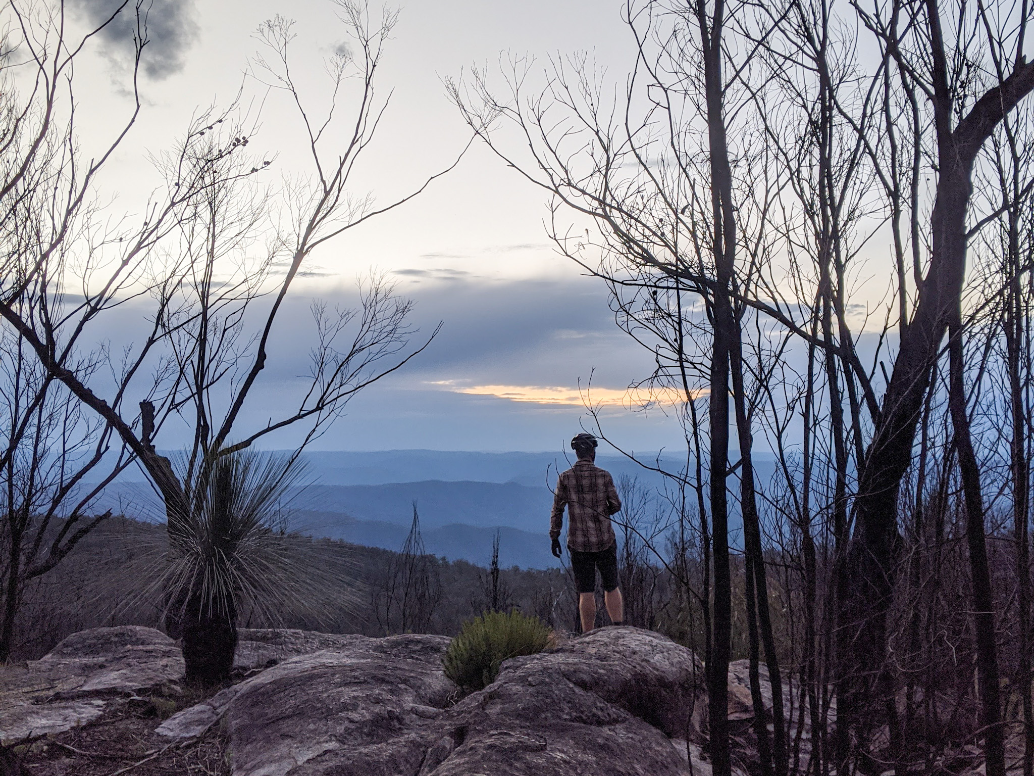
Vista Point Lookout is a compulsory stop on the trip. A short detour off the main road reveals a view that stretches across the Chaelundi Wilderness all the way to Gibraltar Range (which also contains some amazing riding, but that will have to wait for another time). A perfect lunch spot (although witnessing a sunset here is something everyone should do at least once), it is also a prime opportunity to rest the legs after a big day of climbing.
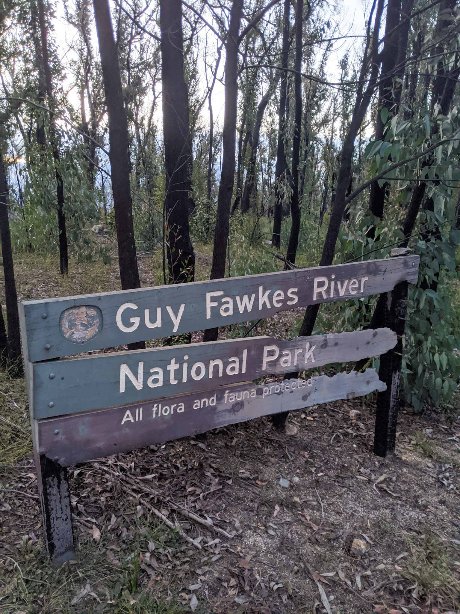
Check the elevation profile – starting at 1300m and finishing the day at 200m – sounds like it’s clear sailing all the way to Dalmorton right? Wrong! Although there are some great descents, there is still plenty of climbing to be had, but roaming through the Guy Fawkes River National Park is totally worth it. Besides the odd 4WD, your only company will be the rock wallabies that scatter off once they get a sniff of your sweaty nicks.
With nearly 100km bagged for the day, Dalmorton campground provides an oasis for weary pedallers. A flat and grassy spot to pitch a tent, and a gently flowing Boyd River to wash away the memories of all those hills that preceded it. Hopefully you didn’t forget a tinnie from Tyringham!
Dalmorton to Nymboida
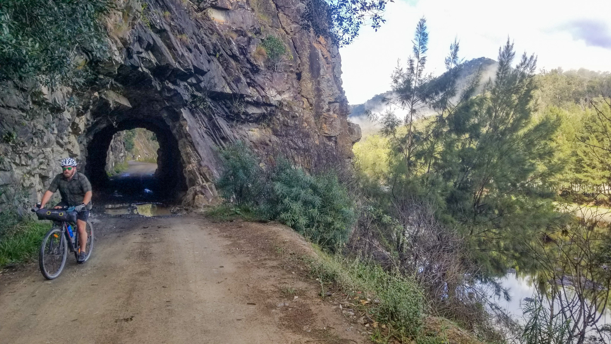
The last day (unless you’re lucky enough to do this over more days), commences with a ride through the ghost town of Dalmorton, which once contained 5,000 people, a few pubs, shops, a school and 50 mines! That was until the gold ran out in the early 1900s. Only a gentle 6km ride out of ‘town’, another relic from that era still exists in the form of the Dalmorton Tunnel. Built by hand from civilian labour in the 1880s, the tunnel stands testament to settlers of the area, who rightly or wrongly, opened up the route between Grafton and Glen Innes.
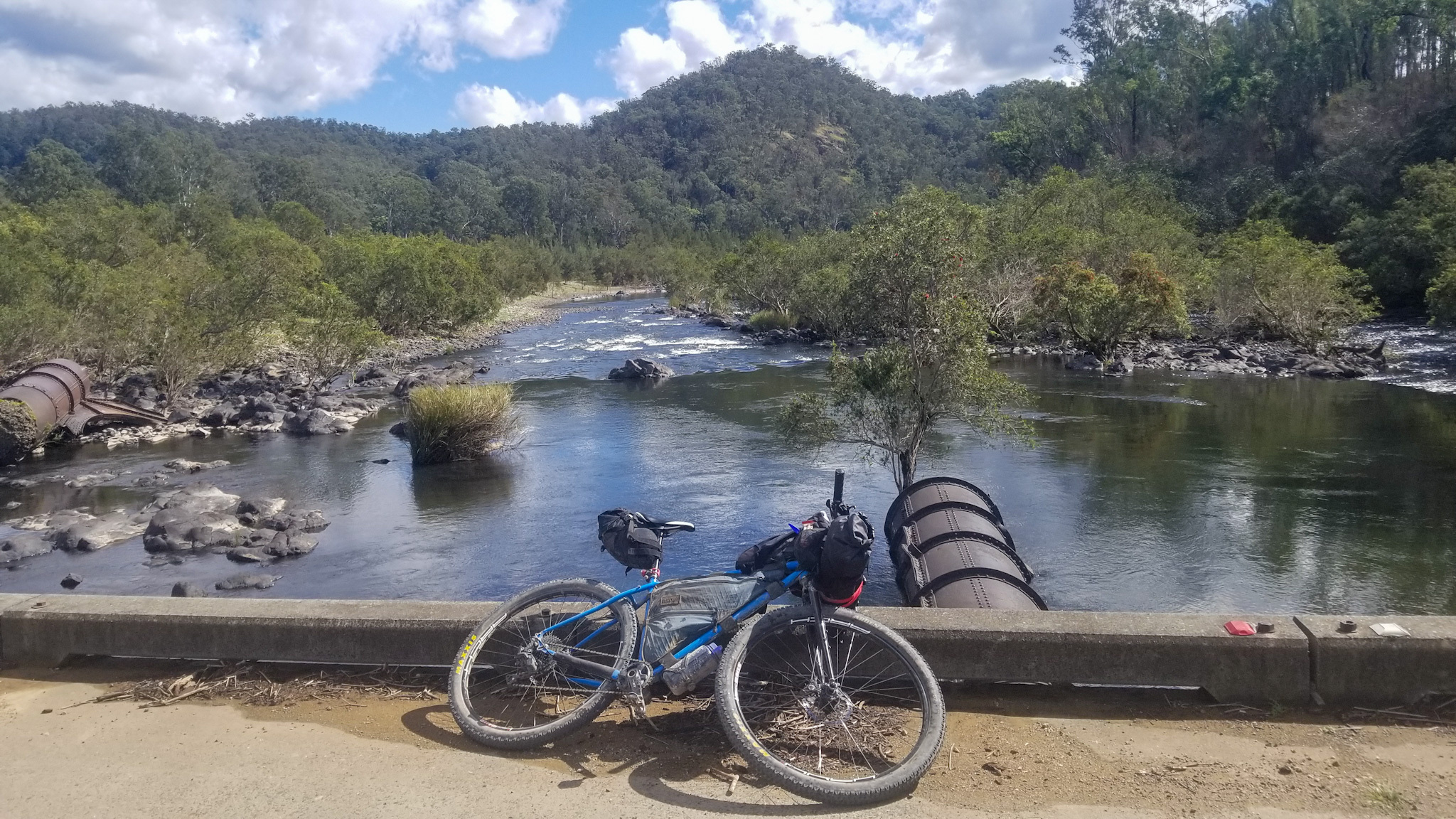
Reversing the direction and again passing through Dalmorton, Old Glen Innes Road effortlessly follows the Boyd River all the way to Buccarumbi. Every bend in the road presents an epic new view of the river and surrounding rugged hills. Keep your eyes peeled for kayakers shadowing your route along the river – there is some world class white water in the area!
The final swim spot of the trip is at Buccarumbi. There are plenty of options here to have a dip, and make the time to check out the old bridge that was washed away in a flood in 1946 when the Nymboida reached a flood level of 16m!
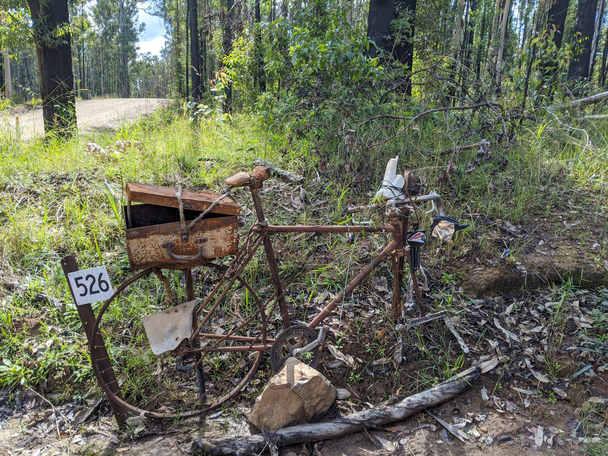
The remaining ride along Old Glen Innes and Glens Creek Roads consists of some small hills and descents through some cattle country and eucalyptus scrub. There’s plenty of alternate mailboxes on the way to keep you entertained before arriving back at the canoe centre for commemoration of the trip that has been.
Those wishing to explore further afield can contact the author for advice on further riding in the area.
Another option is to explore the region by canoe on the Nymboida Canoe and Kayak Trail.
Happy riding