Bikepacking the Border Ranges
Route on ridewithgps.com
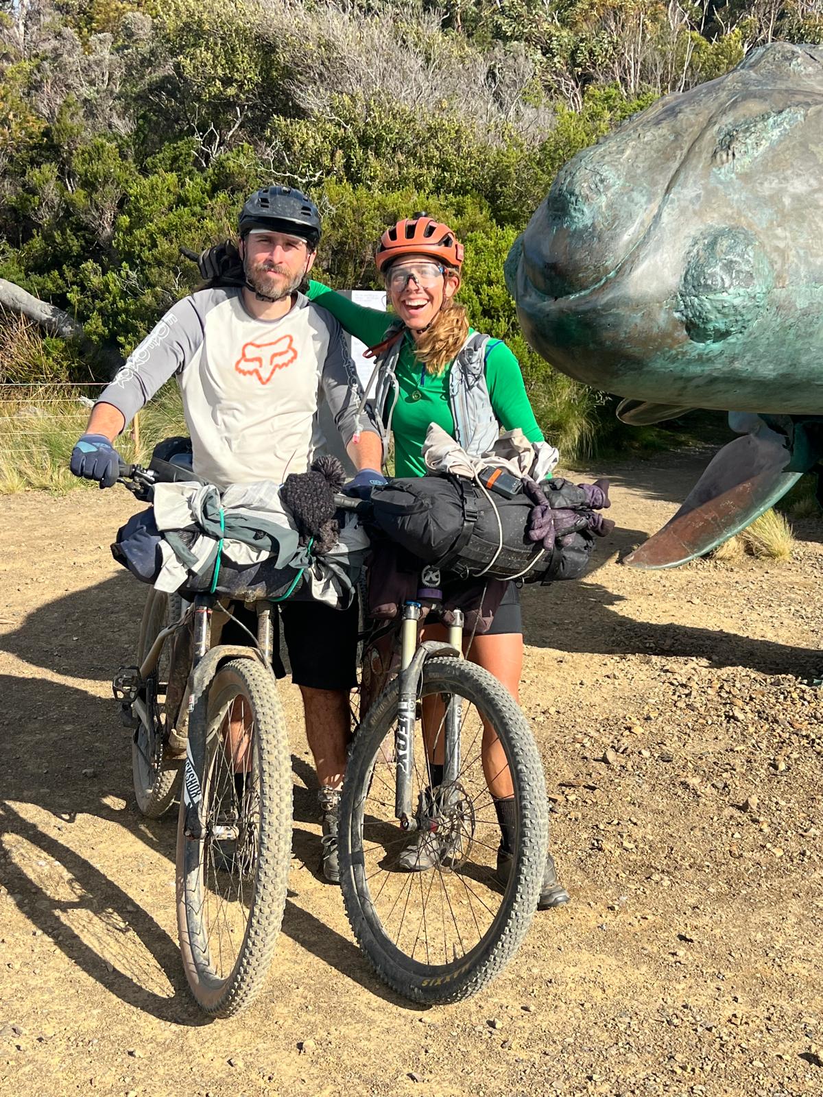
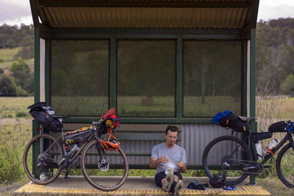
Words & Photos by Ryan Slater @mulletcocktail
Illustration by @leeleebefrank
3 minutes
The Border Ranges National Park is situated on the edge of the Tweed Volcano caldera in far northeastern New South Wales. The volcano is long dormant, however, its past presence has left a dramatic landscape consisting of volcanic plugs and steep escarpments, most notably Wollumbin (Mount Warning). Wollumbin is a sacred place to the local indigenous Bundjalung People. The Park largely consists of rainforest vegetation with a temperate climate.
The border ranges – a short and challenging loop
The upper reaches of the park are accessed via a 64km gravel through road (the Border Loop) and provides access to both campsites within the park – Sheep Station Creek and Forest Tops. The latter was our goal for the day.
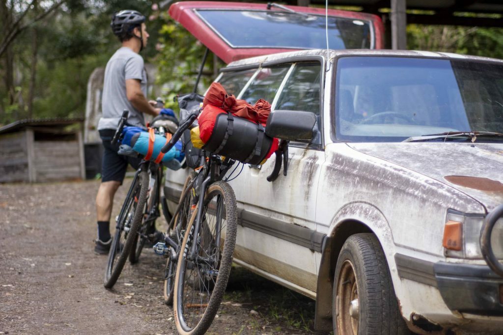
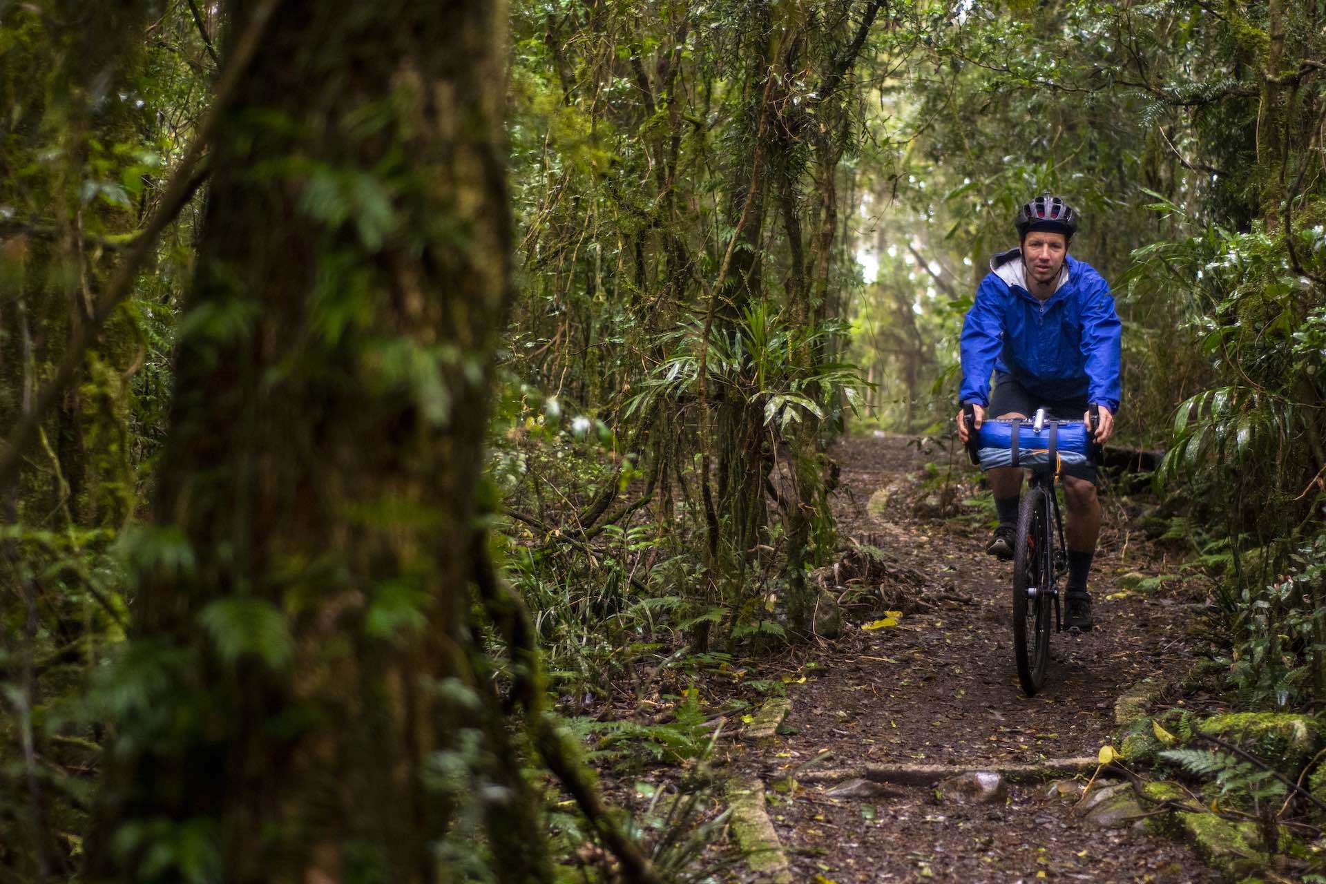
Having a casual start from Dylan’s place near Nimbin, we set off mid-morning. After passing through Wadeville we were on quiet backroads just south of the range. Passing through rural residential areas and farm properties (and the omnipresent farm dogs) we were both eager to find some serenity in the park. We joined the loop road for a few kilometers before heading due south passing through Green Pigeon, catching up with an old friend of Dylan’s on the way. Dry Sclerophyll forest and prime cattle grazing country with rolling hills set the scene for the next hour or so until the park boundary.
Entry to the park is gained by a short, steep pinch that leaves you questioning what may lie ahead. However, this is not to deter, as the grade eases and turning the pedals becomes less strenuous. Once past Sheep Station Creek the road again steepens until Forest Tops is reached. With an average gradient of 8.5% over 6km and rough gravel, some pushing (and the odd grumble) was on the cards.
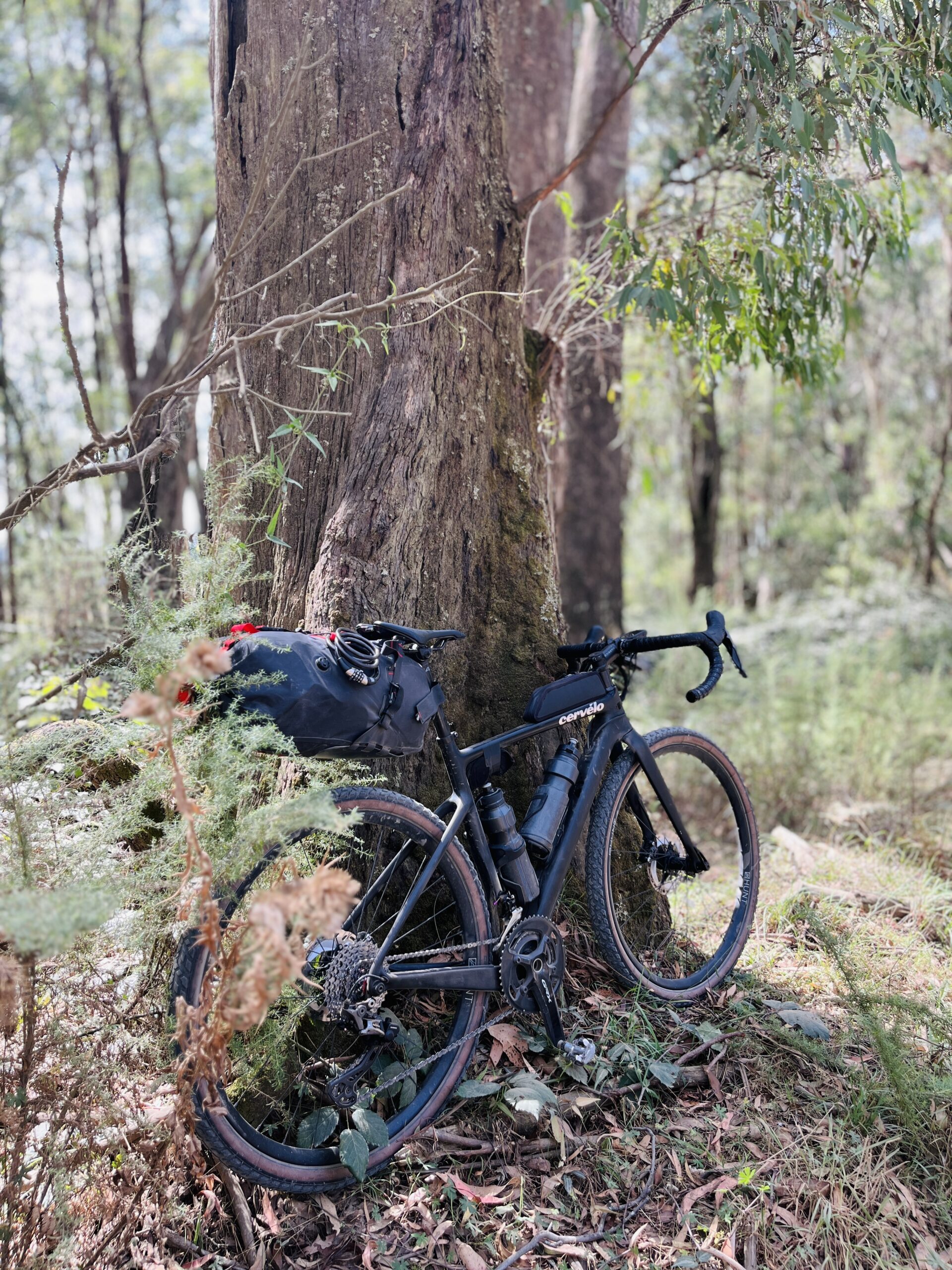
Forest Tops Campsite
Forest Tops campsite is a basic camp ground with a small shelter, drop toilet and water. We pitched and cooked dinner before sitting next to the fire talking random topics before an early bed.
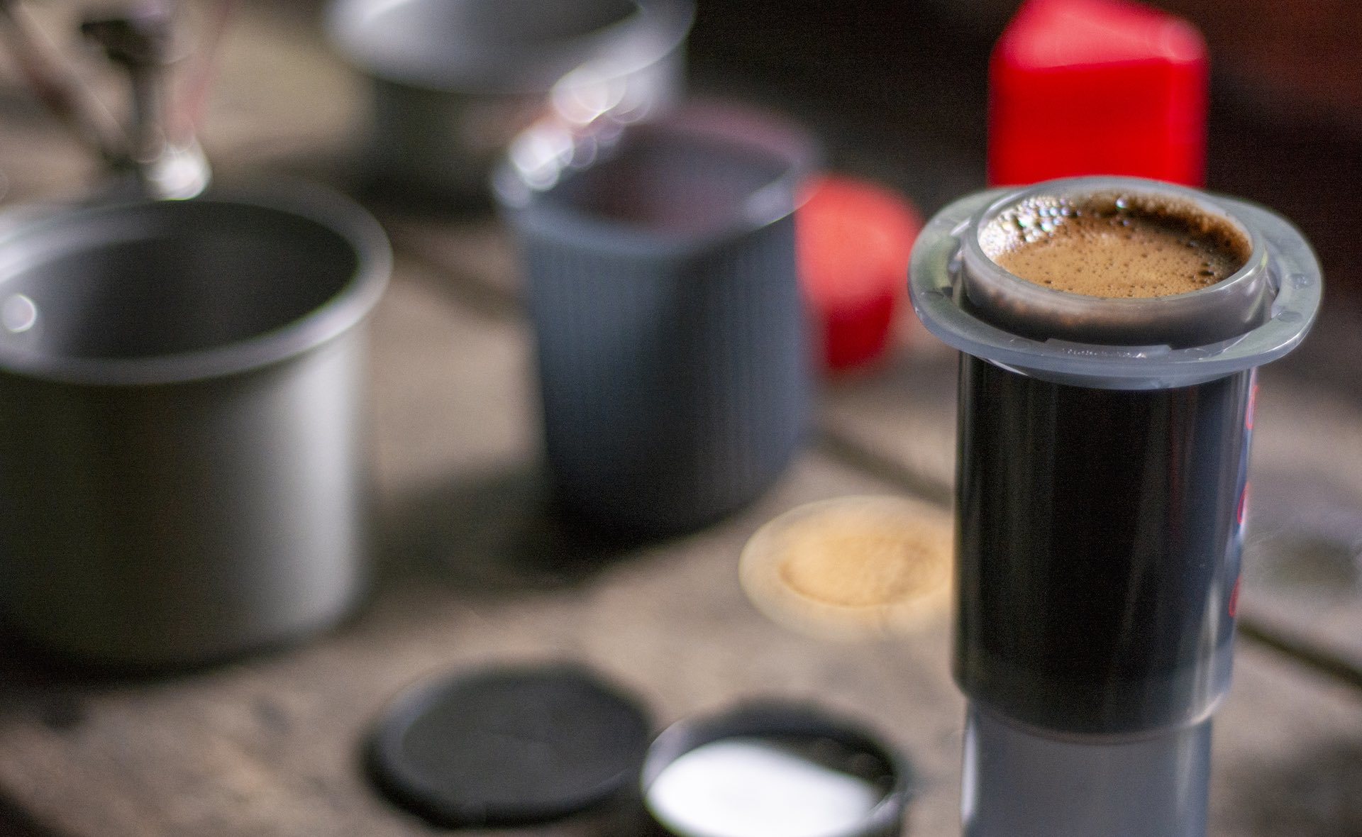
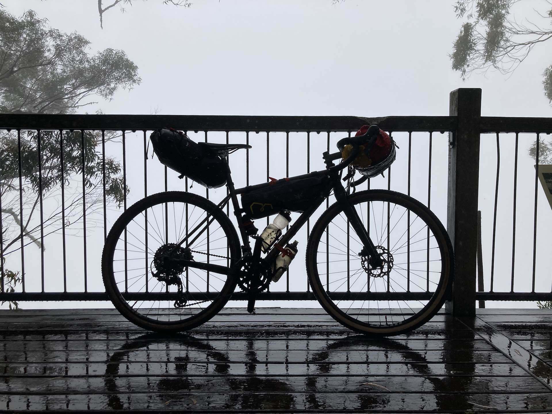
Waking early to the chorus of Bell Birds is always a pleasant experience. The day dawned a wet one. The weather was damp. Driving drizzle saturating everything. After breakfast and coffee, packing up wasn’t overly pleasant, neither was putting on cold damp knicks from the day before.
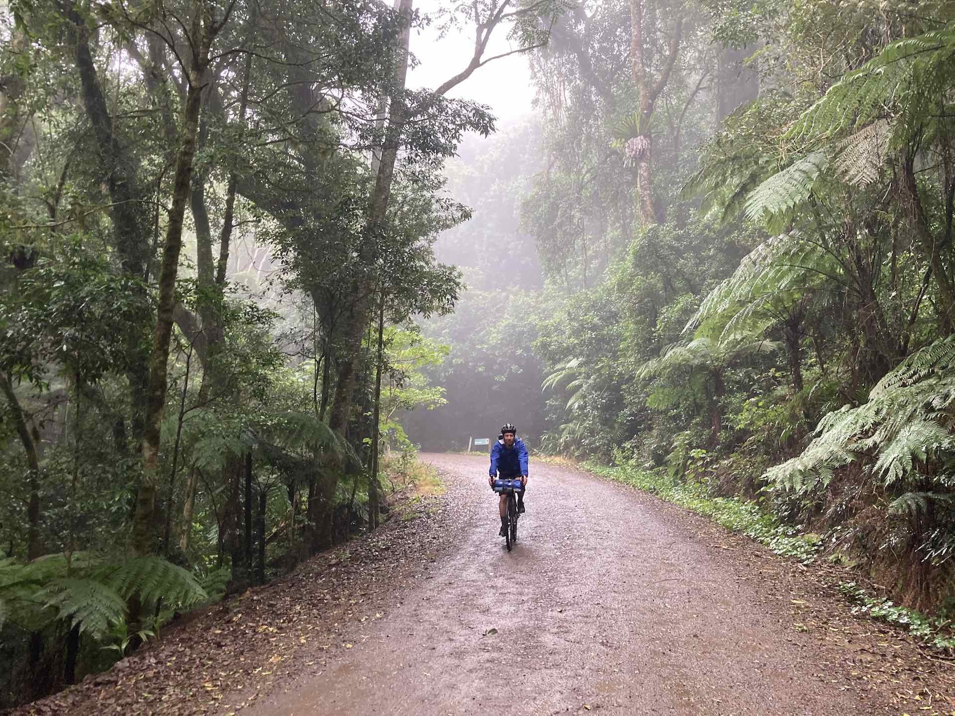
Eager to get moving, we were off before 6:30 am. Rain jackets donned, we both had a silent mutual agreement to get on with the task ahead. Although Forest Tops is high on the range, it’s by no means the top. Lots of undulating gravel followed until reaching the Pinnacle, which typically provides views to Wollumbin, these weren’t on offer today. Then a short relative gradient climb to Bar Mountain leads to the highest point of the Loop Road, from here it’s all downhill.
One to remember
Unrelenting drizzle coupled with the cool temperatures made the descents tricky. With a reduction of elevation once out of the forest, the weather cleared. A short ride back to Wadeville for morning tea before the last descent to Dylan’s house ensured we were back at a reasonable time.
One to remember, not only for the strenuous climbing involved but for the challenging conditions experienced on the second day. Definitely unglorified bikepacking at it’s best.