Bikepacking the Liverpool Ranges
Words & photos by Tim Doman
Route on RidewithGPS
9 minutes
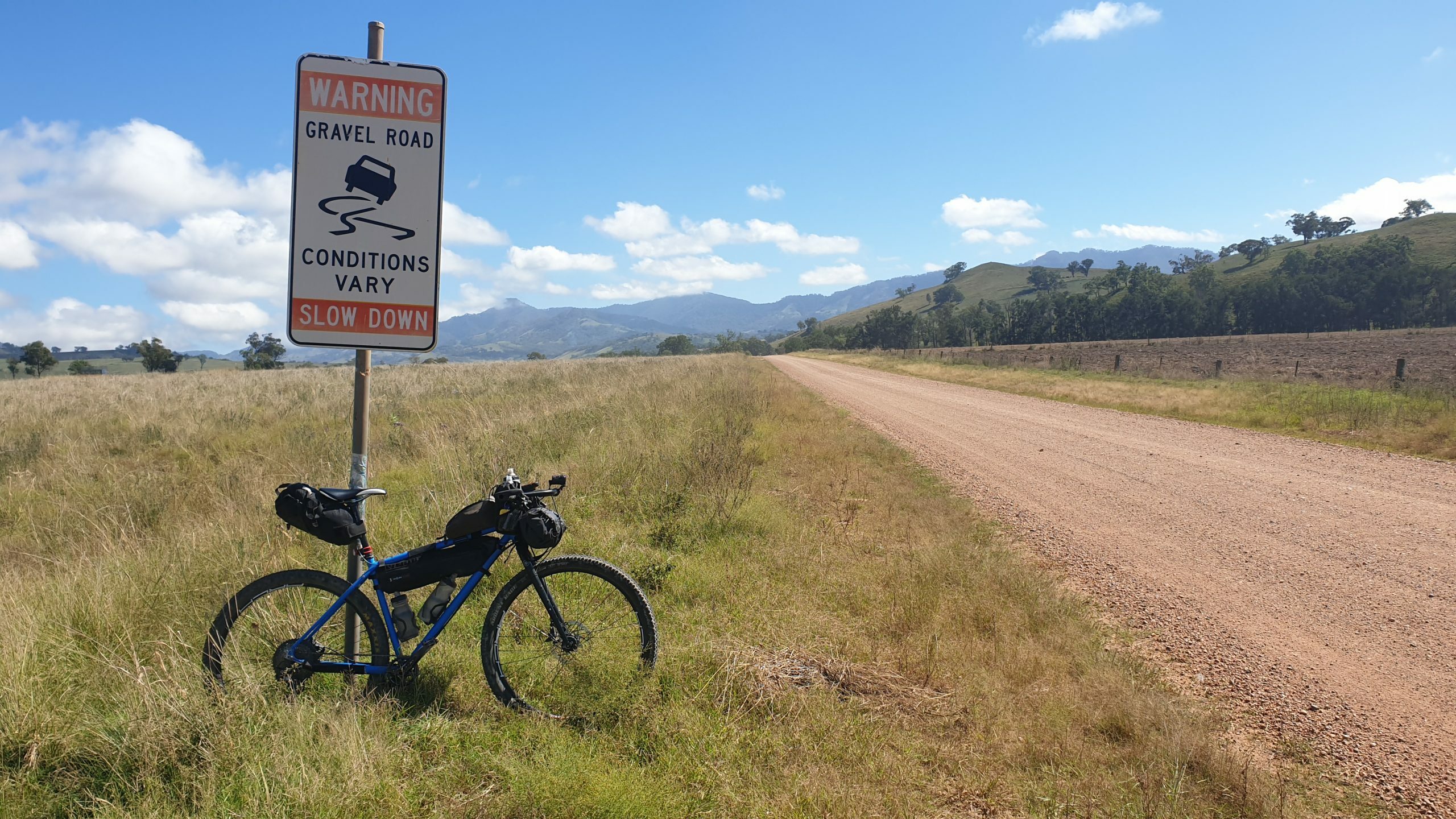
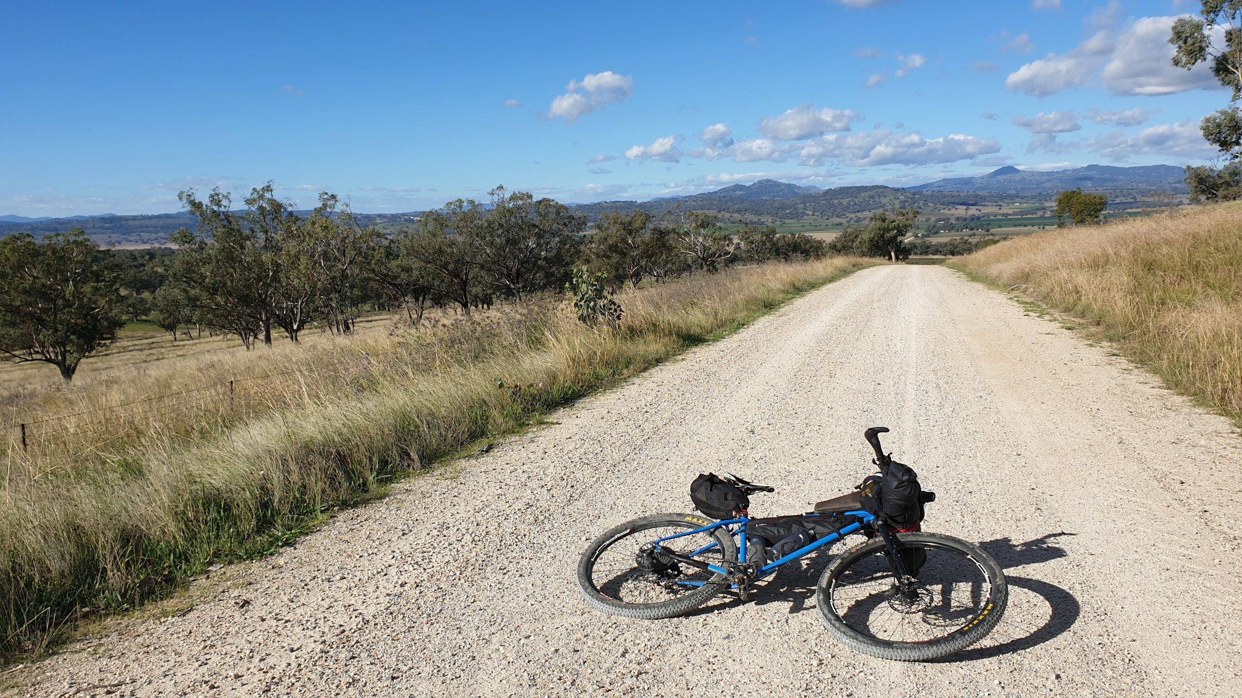
At nearly 370km in length, this route covers some of the less explored sections of the Upper Hunter and the Liverpool Plains, with some decent climbs over the Liverpool Range demonstrating the stark changes in landscape from one side to the other. The route consists of mostly good quality gravel and sealed roads, with only one short section that may challenge those sporting drop bars and skinny tyres.
Completing the ride in at least 3 days is recommended, as there are ample pubs and cafes to break up the ride, soak up the country hospitality, and sample some of the finest local produce (steaks at Willow Tree are highly recommended!).
While accommodation is offered at pubs in most towns, there is also a large number of free (or pay by donation) campsites to choose from.
Beware, if planning to complete during summer there is little reprieve from the harsh western sun, and creeks that typically flow may be dry at any time of year. Most of these creeks pass through farming country so the water needs to be treated. Autumn through to Spring is the best time to ride, but beware that the nights regularly drop below freezing during winter.
Scone to Willow Tree
It’s possible to get a train from Newcastle to Scone, and this is a great way to travel with your bike. Just beware that the timetable servicing Scone sucks and you’ll need to do some planning for getting here and and leaving at the end.
This section from Scone to Willow Tree is the longest stretch on the route without services (over 130km), so load up on goodies in Scone before heading out, and take plenty of water. The bacon and egg roll from the Thoroughbred cafe is a good start. Plus it opens early if you caught the train from Newy at 3:50am.
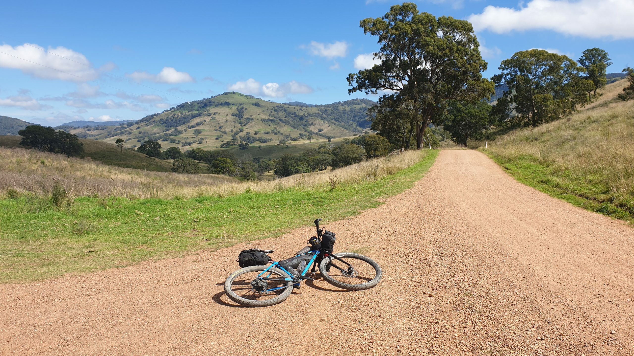
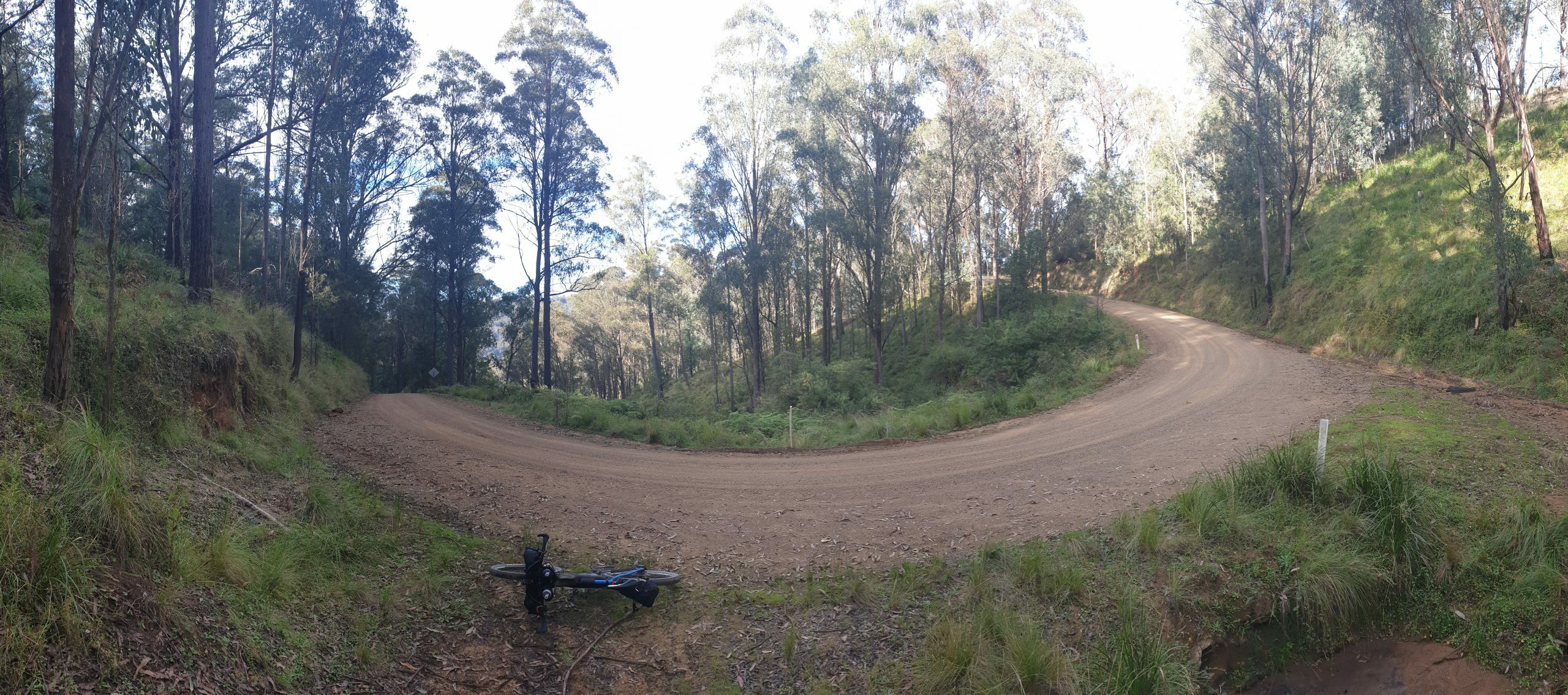
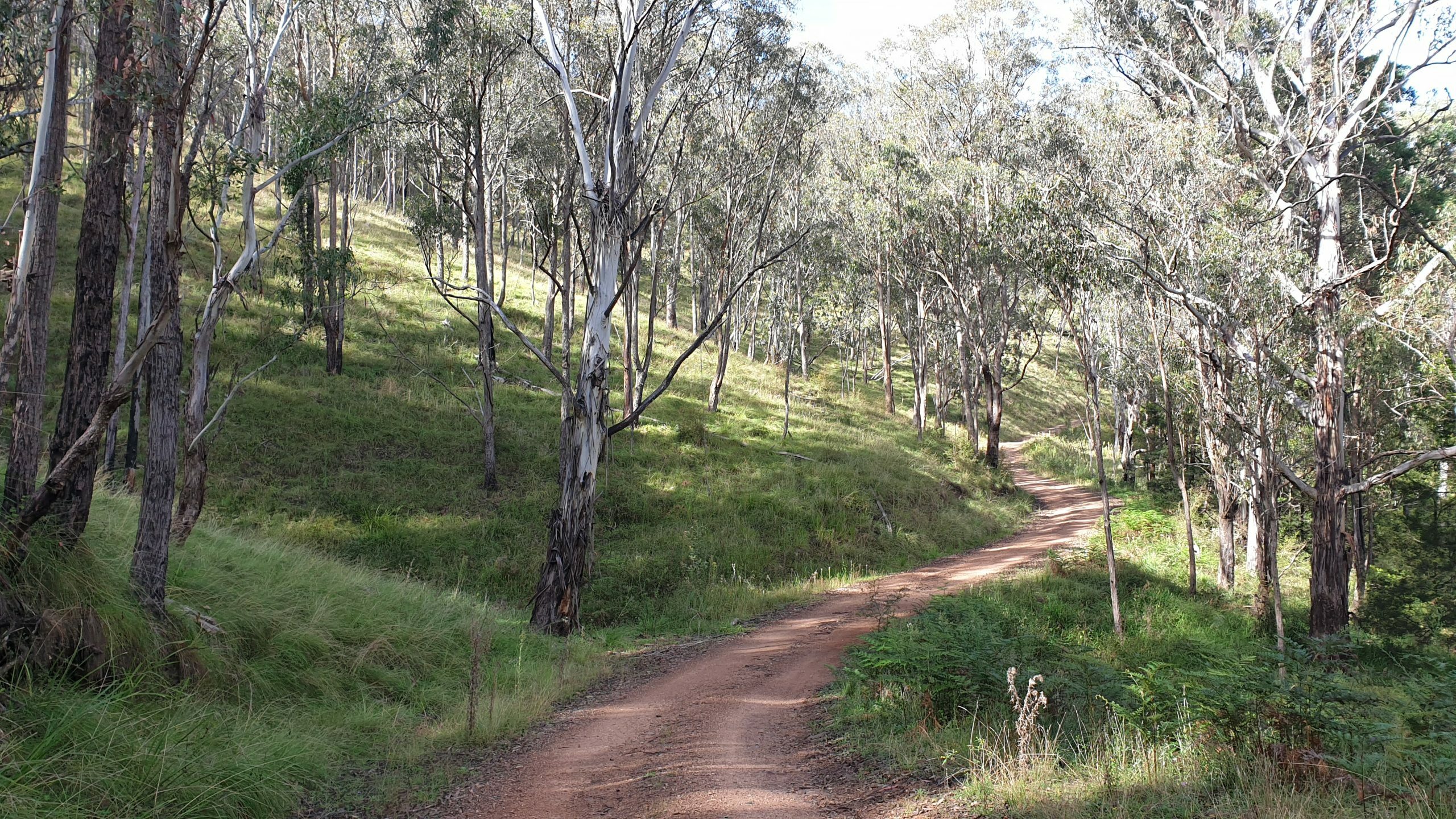
Heading out of town past all the horse farms onto Upper Dartbrook Road, the scenic and pleasant riding may lull you into a false sense of security, but make no mistake there are some solid hills coming your way. There are some epic views from the valley to the top of the ranges – make sure you have a look at where you’ve come from from time to time.
Unfortunately Coulson’s Creek Road has now been sealed, but the climb to the gap is spectacular no matter what. The road is currently closed to traffic due to roadworks (April 2021), so check with Council before heading out as to the current status.
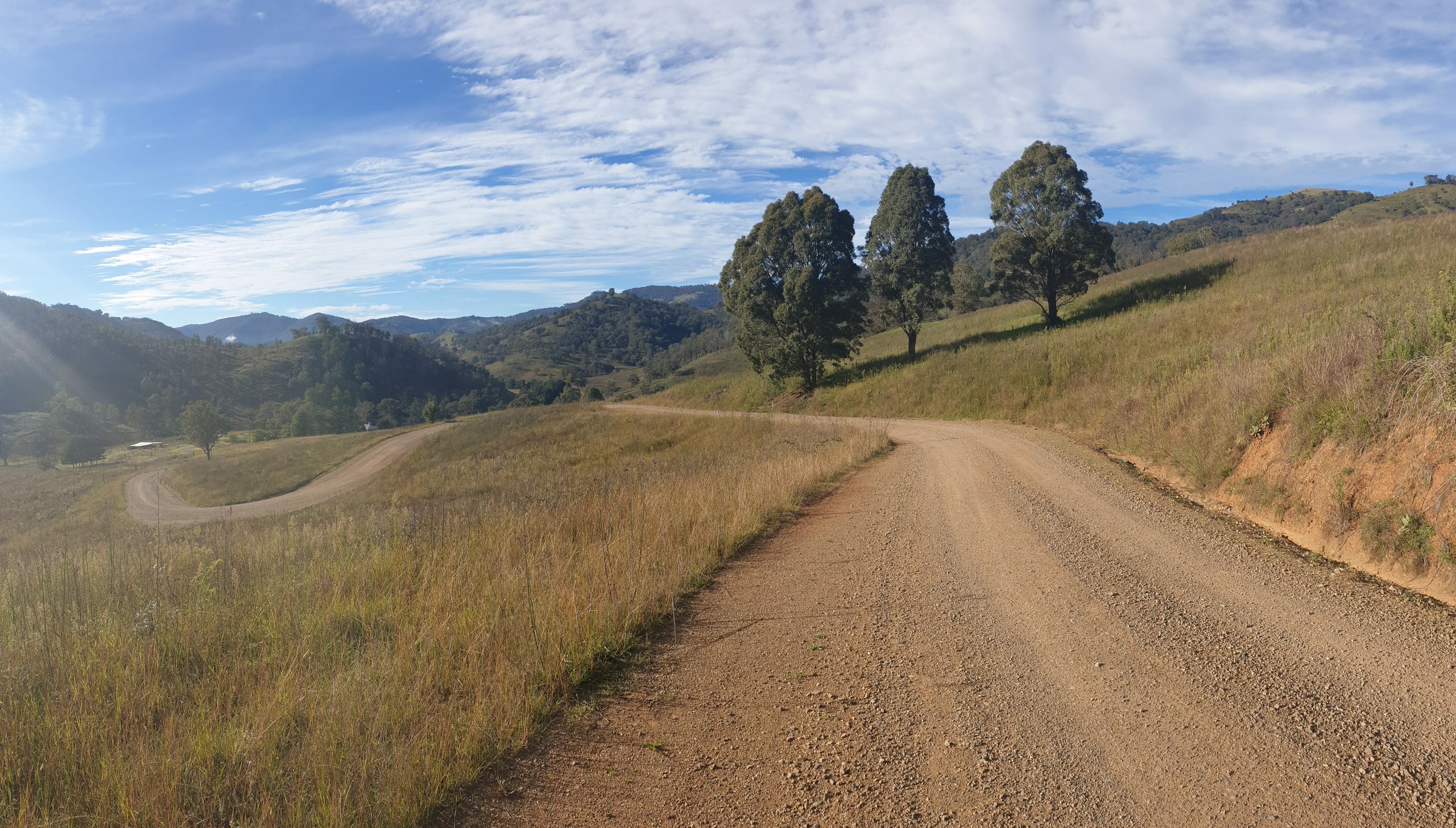
Take a moment to recover and take in the view, as the upcoming descent can only be described as epic (even though it’s sealed). Watch out for big rocks on the road.
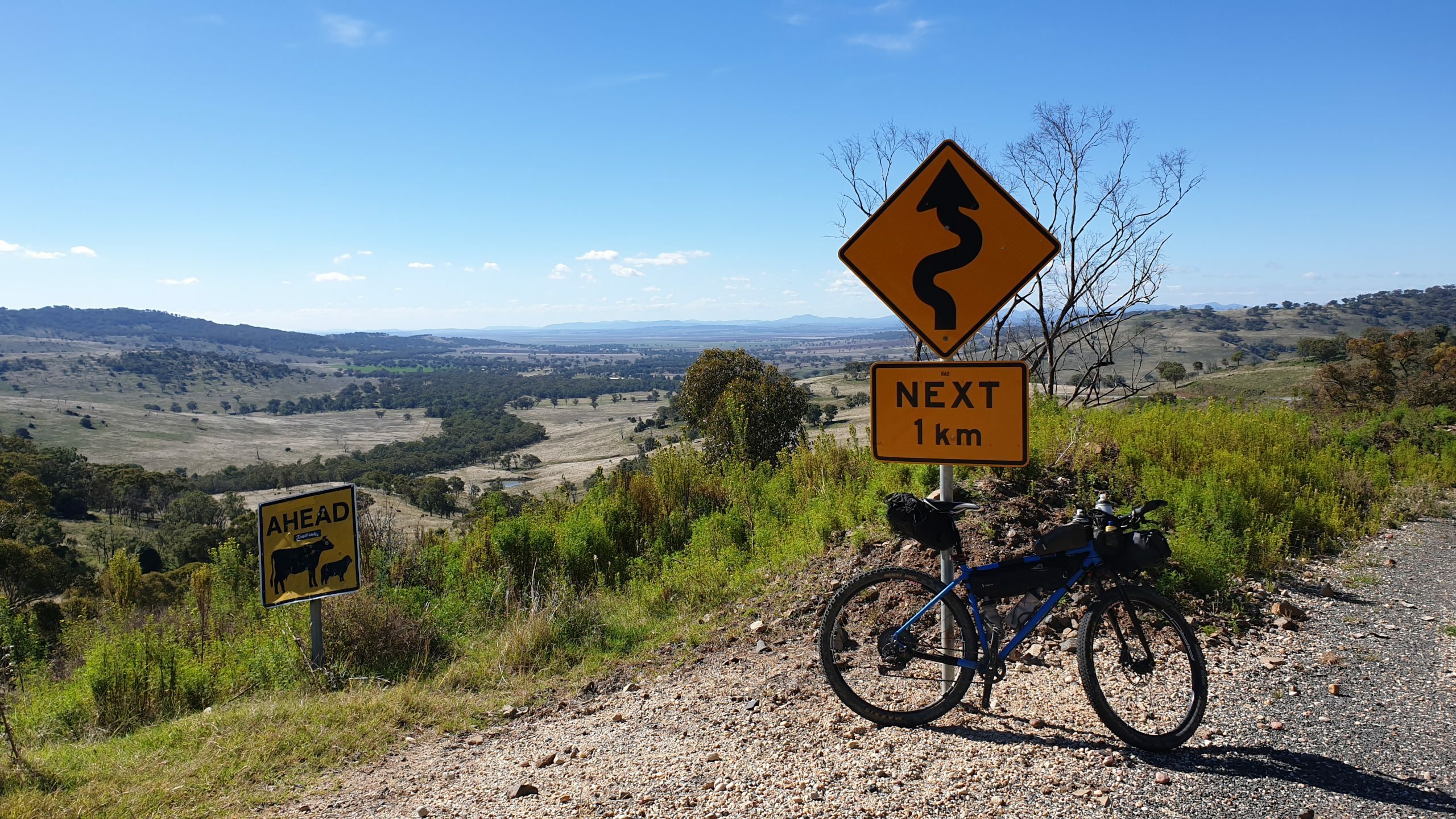
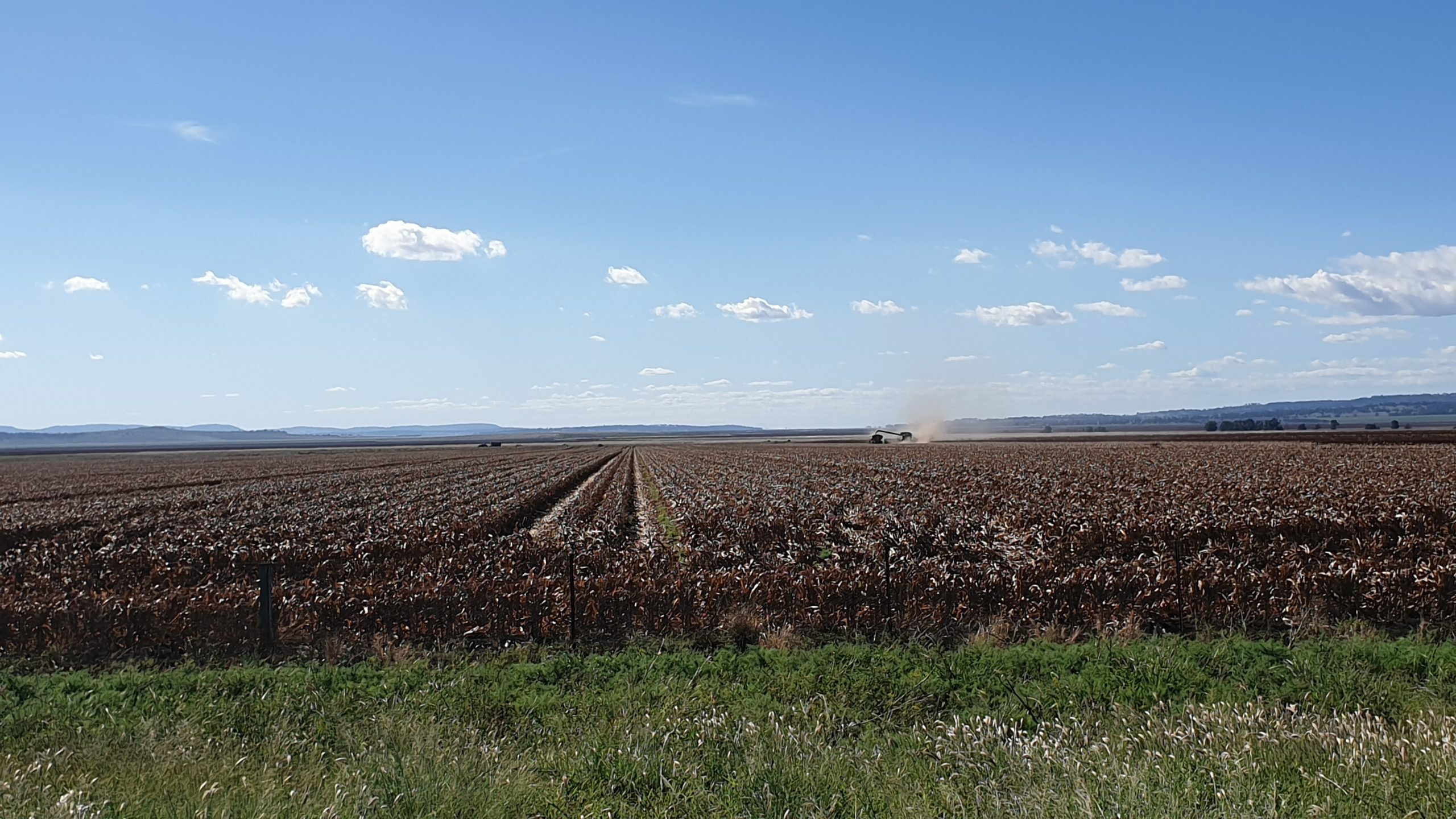
This is now your first glimpse of the Liverpool Plains, and depending on the time of year, the fields may be full of farmers harvesting their crops well into the night. It makes for a great view on sunset.
Turning onto Swinging Ridges Road with 120km in the legs and seeing the first climb probably isn’t what you want to see at this time of the day (yes it’s quicker and flatter to go straight along Merriwa Road, but that wouldn’t be much fun now would it), but it’ll get you back onto the gravel for the last time today. And think of the stek sambo and schooner that awaits at the Willow Tree Inn.
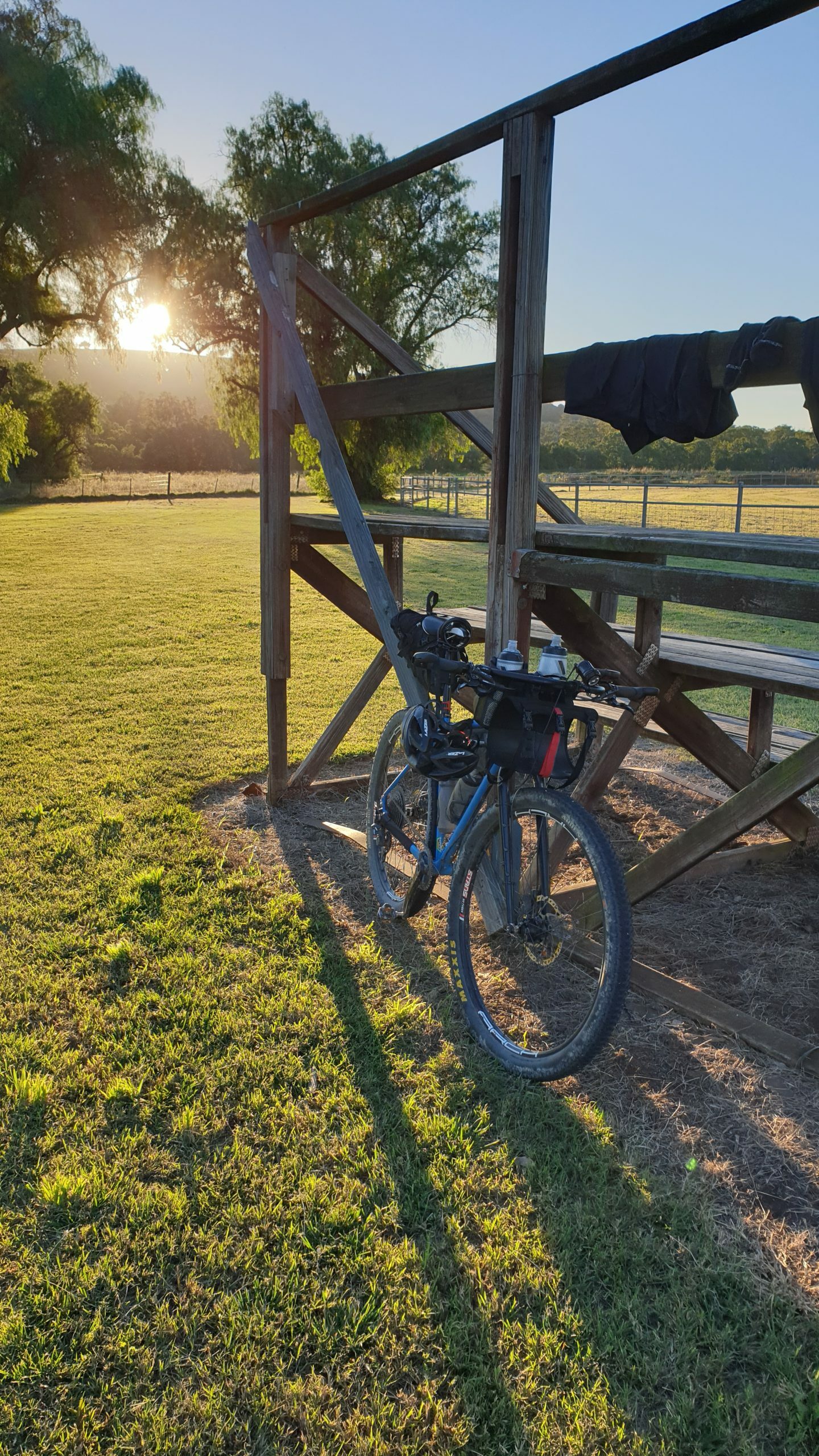
Rolling into Willow Tree you’re spoilt for choice with accommodation options and dinner. Camping at the Rec Ground is by donation (pay at the info centre) and has water, toilets, showers and shelter. An excellent campsite except for the trains smashing past every hour during the night.
Willow Tree to Hanging Rock
The next morning has you leaving Willow Tree and heading into the picturesque farmland valleys around Chilcotts Creek, with undulating roads that are filled with kangaroos, turtles and the odd shot pig on the side of the road. These perfect gravel roads reach their climax at the summit of Woodton Gap, from which there is a fast and open descent almost all the way to the New England Highway. A quick jaunt along the highway, onto Hamilton Road and Wallabadah Road (careful narrow shoulder) brings you to the quaint town of Wallabadah.
Wallabadah has a pub, a cafe and a campground. The cafe does a good coffee (best outside of Italy, apparently) and camping at the First Fleet Memorial Garden is by donation for those not pushing on further for the day.
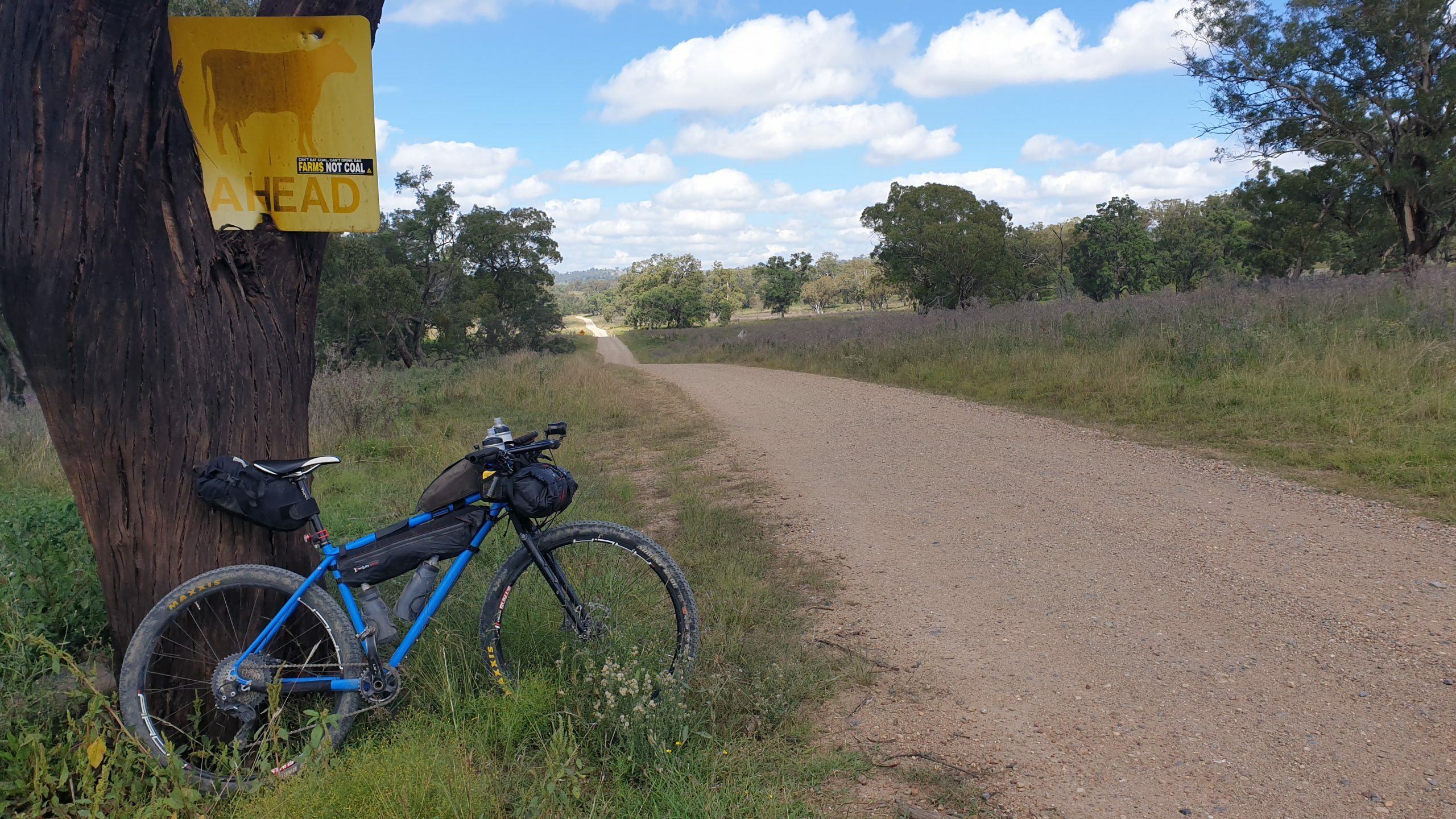
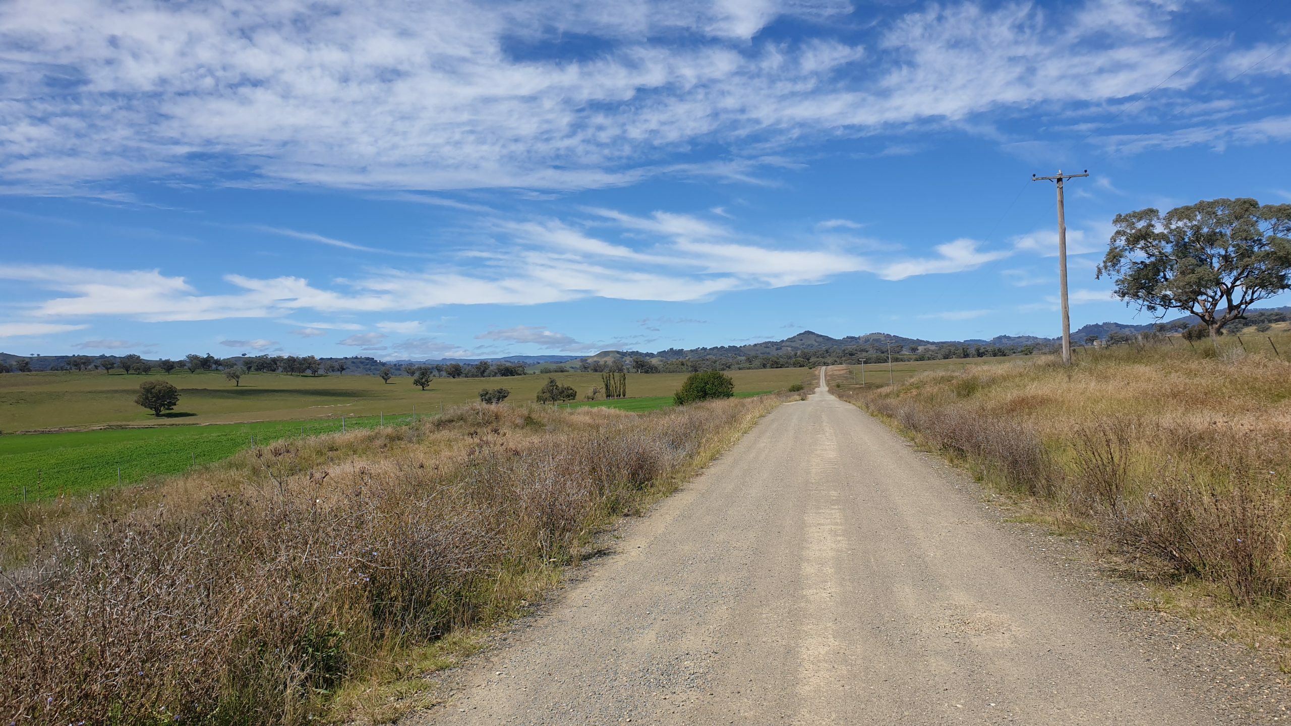
Back onto the gravel of Gaspard Road, the contrast between farmland and rocky outcrops that typifies this area becomes apparent. Some more awesome gravel roads and it’s time for a short stint on the New England Highway before turning onto Lindsays Gap and Old Wallabadah Roads. Old Wallabadah Road features even more rolling gravel hills and gorgeous countryside, with the forests in the distance indicating a change in landscape is approaching. A quick dip in Goonoo Goonoo Creek is a welcome relief on warm days.
For those wanting to shorten up the trip and/or avoid the technical section on the final day, a right turn onto Crawney Road at the end of Old Wallabadah Road will take you through to Gundy on some good back roads. There is a campsite on the left a few kms up the road as well.
Nundle is a surprise oasis featuring all the resupply options you could dream of – pub, cafes, supermarket and even a van pumping out donuts. If you have the time checking out the mining history of the area is a fascinating way to spend an afternoon. There’s a bunch of accommodation options if you’re not keen on braving the climb to Hanging Rock just yet.
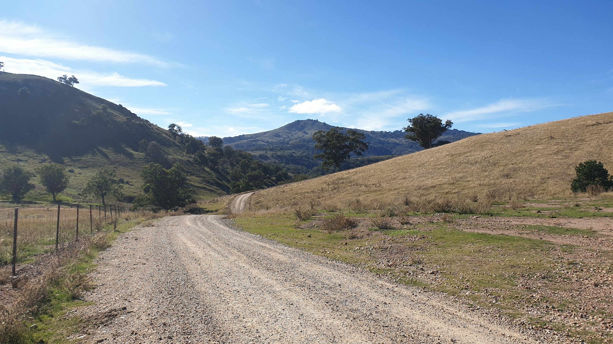
Leaving Nundle the road soon turns upwards for the biggest single climb of the trip, gaining nearly 500m over 6km. Just chuck it in the little ring and grovel away. If you’re as lucky as I was, you might even score a beer from campers that feel sorry for you as you play a constant battle in your mind about how much easier it would be to walk. Once at the top, a quick detour to Hanging Rock lookout makes the climb almost worth it, with views stretching on for days.
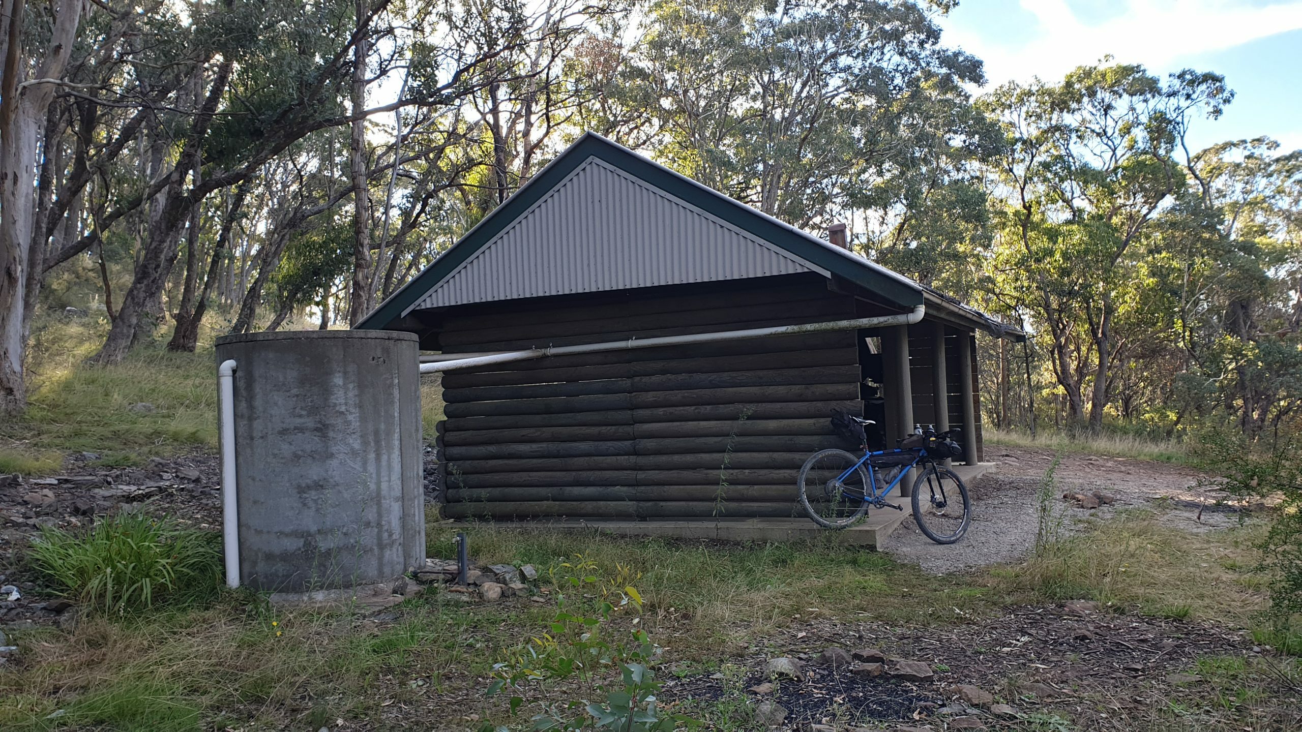
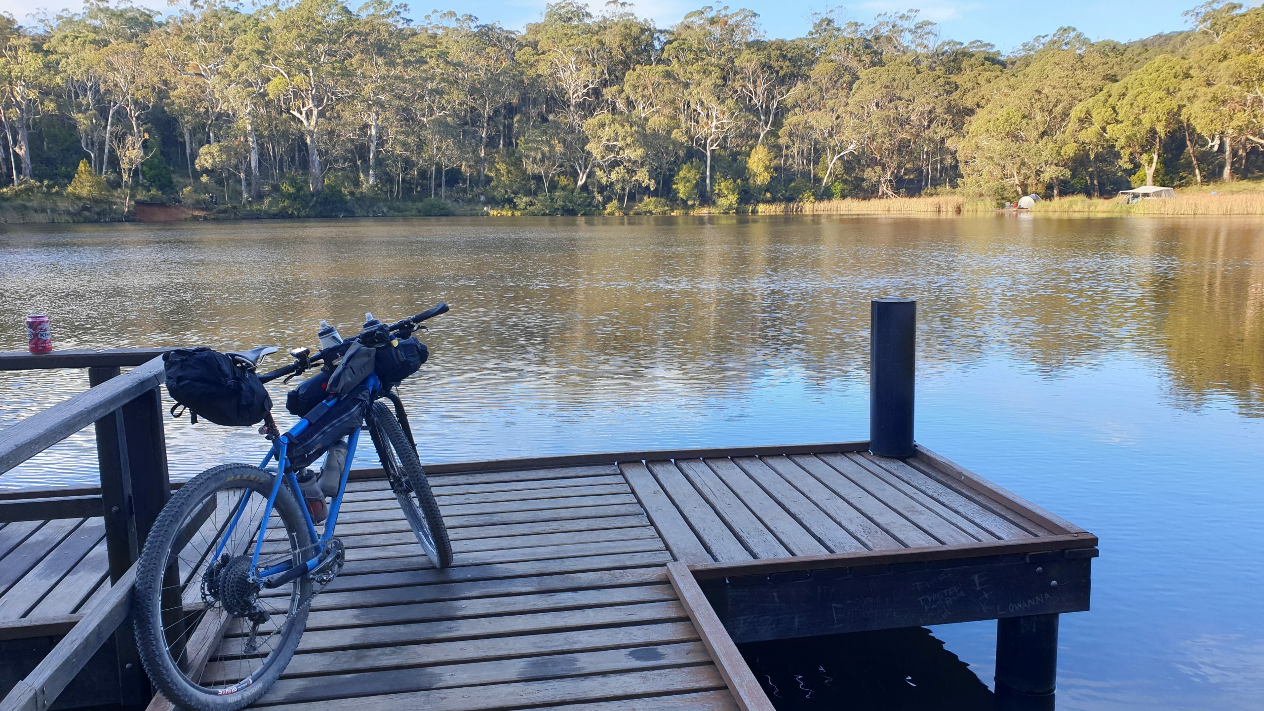
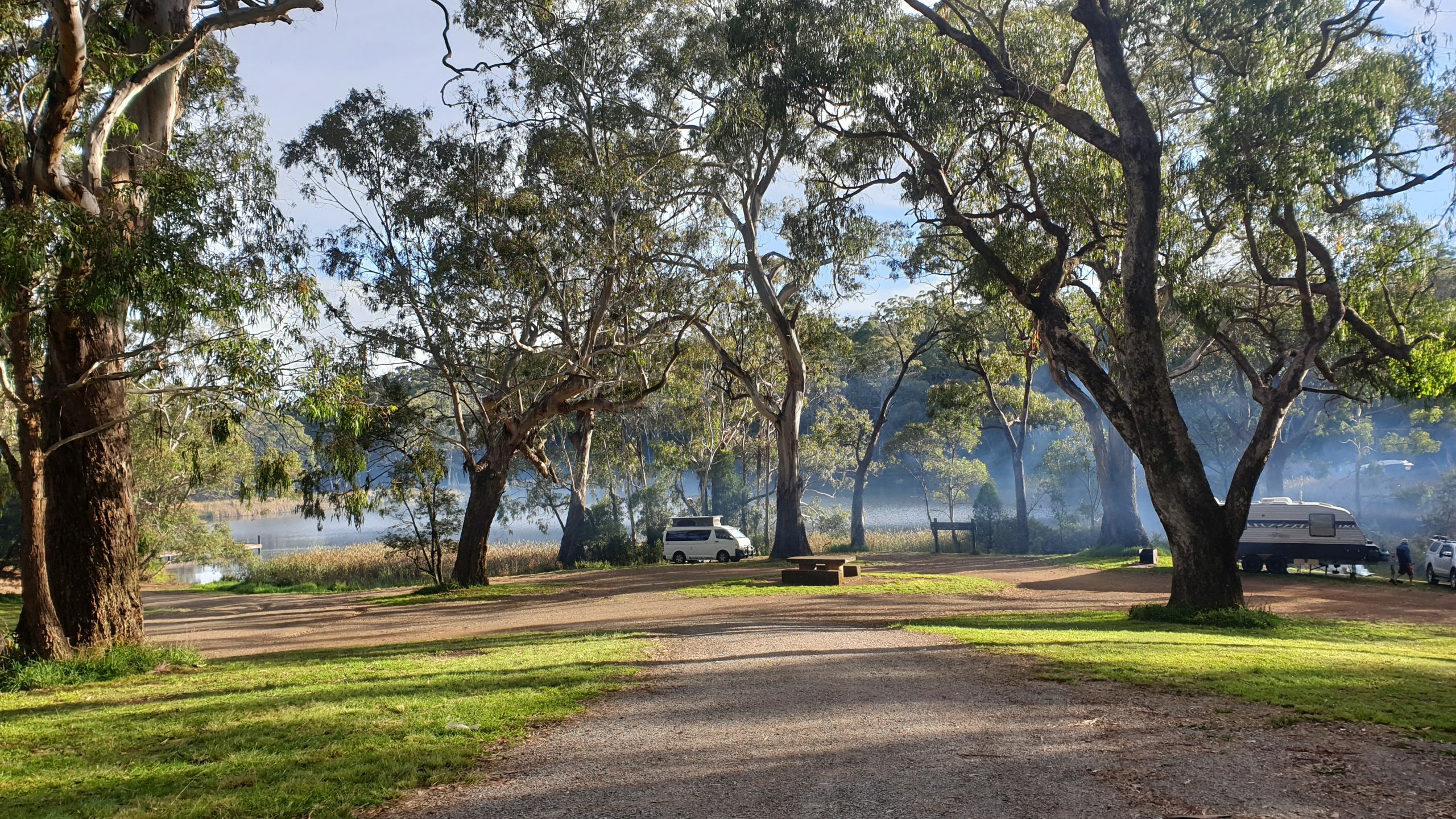
After blinking and missing Hanging Rock village, Sheba Dams is hopefully where you’ll be pitching a tent tonight. It is an excellent free campsite with plenty of space and a huge dam for cooling off after a long day. It can get busy with 4x4ers, and at 1200m high, it can get bitterly cold, even in the warmer months.
Hanging Rock To Scone
Remember that climb yesterday afternoon? Well I hope you warmed your legs up by the fire this morning as straight out of camp we get straight into it and climb to the summit of the trip – reaching about 1360m. It’s all worth it though – it’s pretty much all downhill for the next 15km. Barry Road doesn’t mess around, it gets steep in places, but the road is in good conditions and there are some epic turns flowing all the way to Barry Station in the valley below.
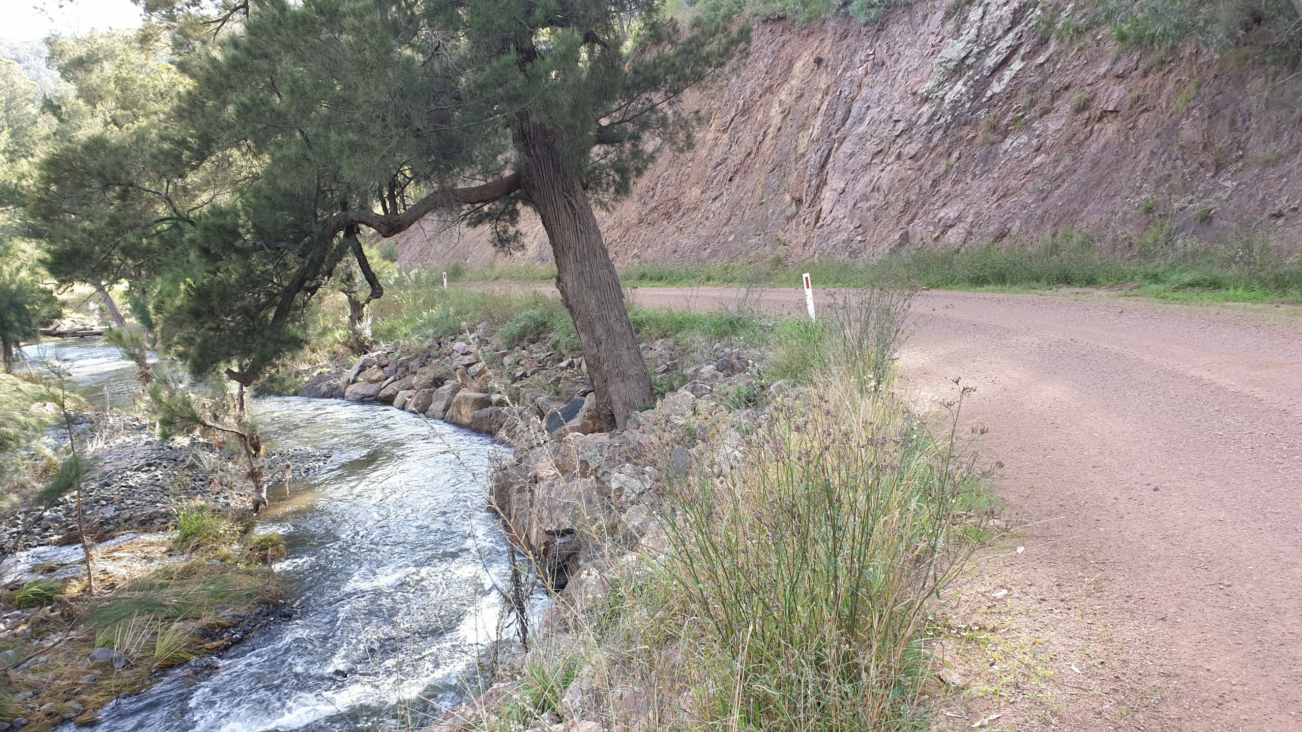
This next section is also a highlight – Barry Road starts to shadow the Barnard River (which would also be an awesome spot for a swim on a warm day) before abruptly making a right hand turn onto Hunter Road and it’s time to grovel again. Keep an eye out for the views all the way up to the top though – and on the descent back down once inside Glenrock Station.
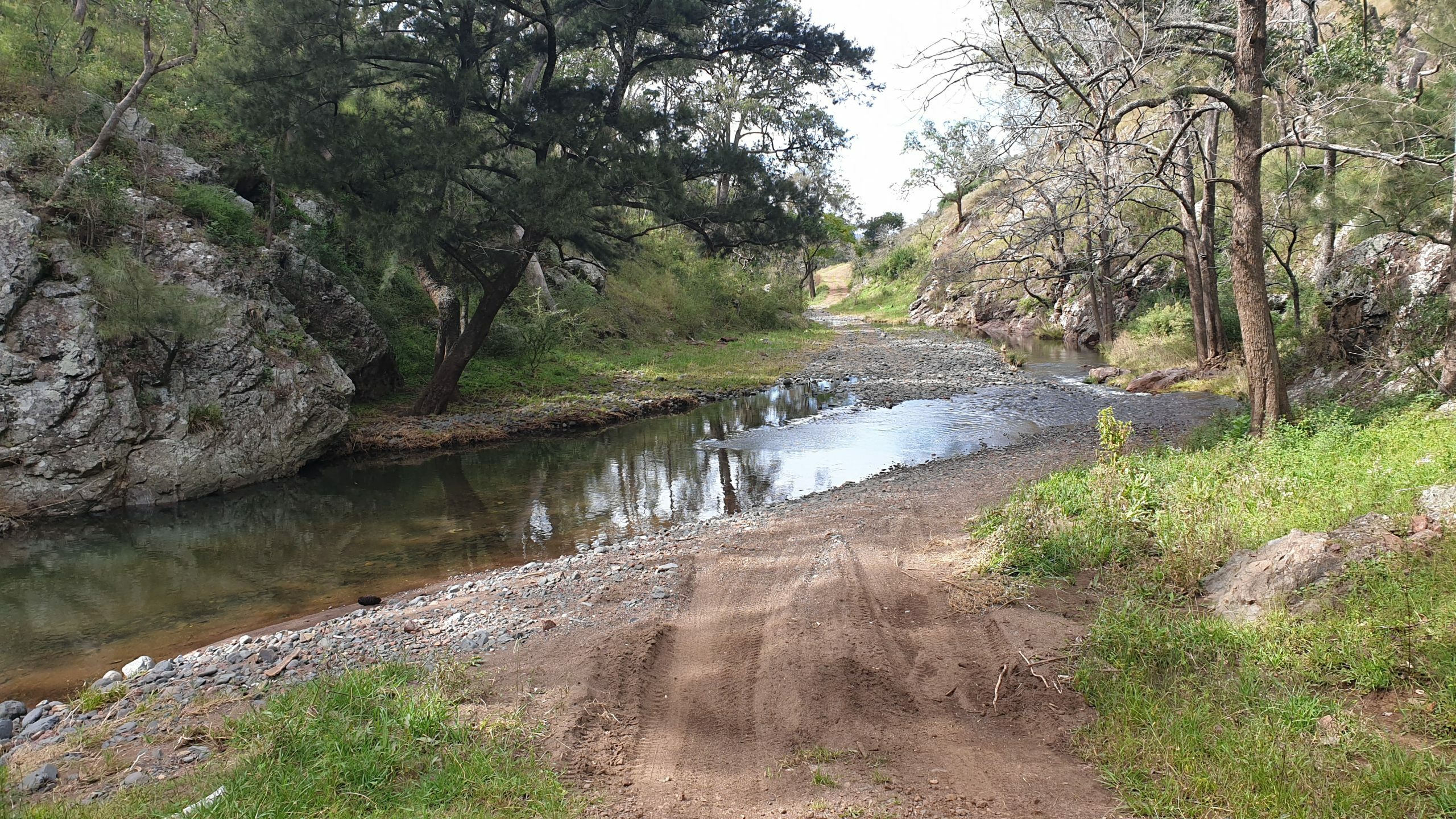
This is where it starts to get a bit techy – nothing that can’t be handled or walked through, but keep an eye on your speed as this is a lightly used road and conditions change quickly. And don’t bother taking your shoes off for the first river crossing – there’s about 20 more coming up in the next 8 or so km.
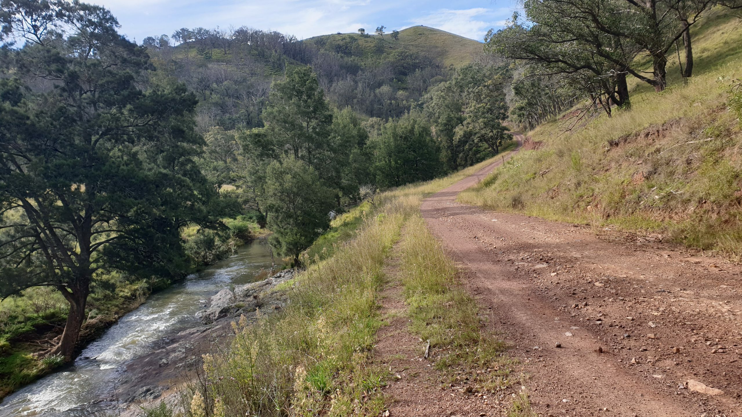
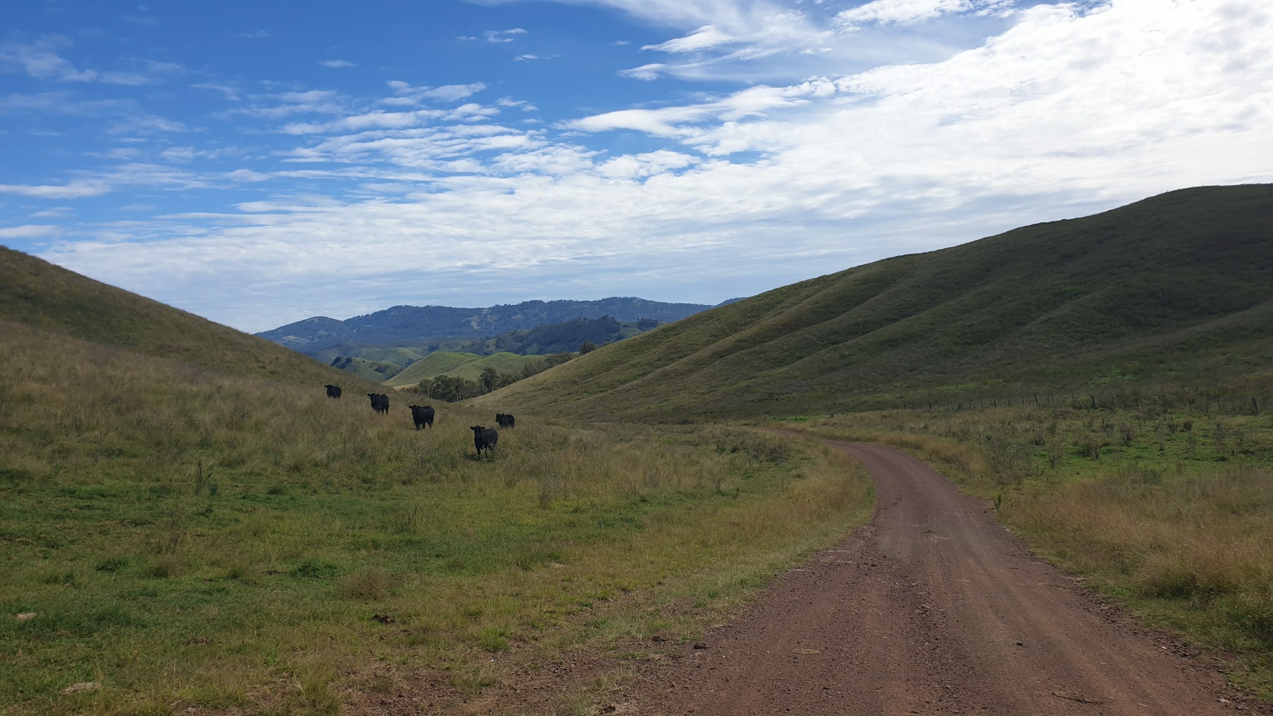
It’s time to leave Glenrock Station, but the climb out means it won’t happen easily. The surrounding hills have all been cleared and while it would be nice to have some tree cover, it does offer some sweet views back through the valley.
Congratulations – this is the last big climb of the trip! And looking at the profile it’s “all downhill” from here. Don’t be fooled, you’ll still have to work for your beers at Moonan Flat. See if you can spot some of the features of the Barnard River Scheme that adds flow to the Hunter River at times, as you descend.
Riding through Ellerston, it’s easy to get caught up at the thought of the frothy ones that await at Moonan Flat as you get into time trial mode, but keep an eye out for the Jags and Audis making their way out to the polo fields at Mach 7.
Scone is still another 50km away, and if that’s enough for today, there is camping and accommodation at Moonan Flat, as well as food at the pub and cafe (the cafe burgers are huge!). There’s usually a band on Sunday arvos as well, making it quite a tempting option to lay in the sunshine sinking schooners all afternoon listening to cold chisel covers all afternoon.
It’s a sealed road all the way back to Scone, and remember the downhill profile? Yeah, it’s not. It is still some amazing riding through the valley before the next pub at Gundy. If Moonan Flat didn’t tempt you into staying, Gundy will definitely test your willpower at the Linga Longa Inn on the banks of the Pages River. There is also a free campsite down the road at the showground, but it’s only 15km left until Scone.
With the trip nearly over, rolling into Scone at sunset, with all the sad times of the climbing behind you, it’s only natural to reflect on the last few days and when the next trip will be. Hopefully you’ve sussed out the train timetable too.